Franklin in Williamson County, Tennessee — The American South (East South Central)
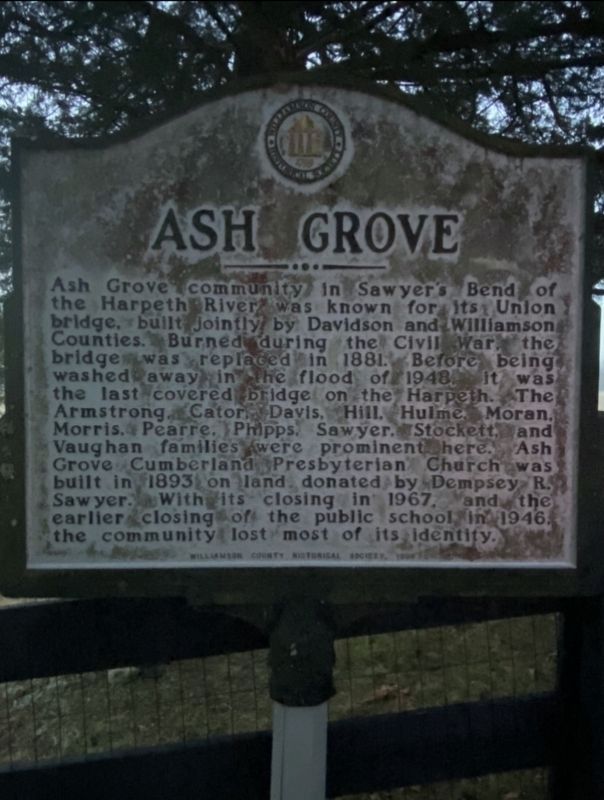
Ash Grove
Erected 1998 by Williamson County Historical Marker.
Topics and series. This historical marker is listed in these topic lists: Bridges & Viaducts • Settlements & Settlers • War, US Civil. In addition, it is included in the Covered Bridges series list. A significant historical year for this entry is 1881.
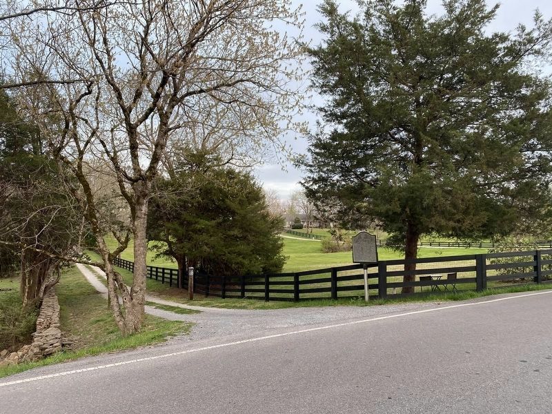
Location. 36° 1.662′ N, 86° 55.596′ W. Marker is in Franklin, Tennessee, in Williamson County. Marker is on Old Natchez Trace just south of Sneed Road West, on the left when traveling south. Touch for map. Marker is at or near this postal address: 2541 Old Natchez Trace, Franklin TN 37069, United States of America. Touch for directions.
Other nearby markers. At least 8 other markers are within 3 miles of this marker , measured as the crow flies. Motheral-Ring Family of Locust Guard (approx. 1˝ miles away); Motheral/Moran House (approx. 1.8 miles away); Devon Farm (approx. 2.2 miles away); Devon Farm Cemetery (approx. 2.2 miles away); Samuel Claybrook Locke (approx. 2.3 miles away); Grassland Community (approx. 2.4 miles away); Old Harding Pike (approx. 2.4 miles away); Edwin Warner Park (approx. 2.4 miles away). Touch for a list and map of all markers in Franklin.
Credits. This page was last revised on April 8, 2021. It was originally submitted on January 26, 2021, by Darren Jefferson Clay of Duluth, Georgia. This page has been viewed 425 times since then and 62 times this year. Photos: 1. submitted on January 26, 2021, by Darren Jefferson Clay of Duluth, Georgia. 2. submitted on April 7, 2021, by Darren Jefferson Clay of Duluth, Georgia. • Devry Becker Jones was the editor who published this page.
Editor’s want-list for this marker. Historical photos of the church building and the covered bridge. • Can you help?

