Franklin in Williamson County, Tennessee — The American South (East South Central)
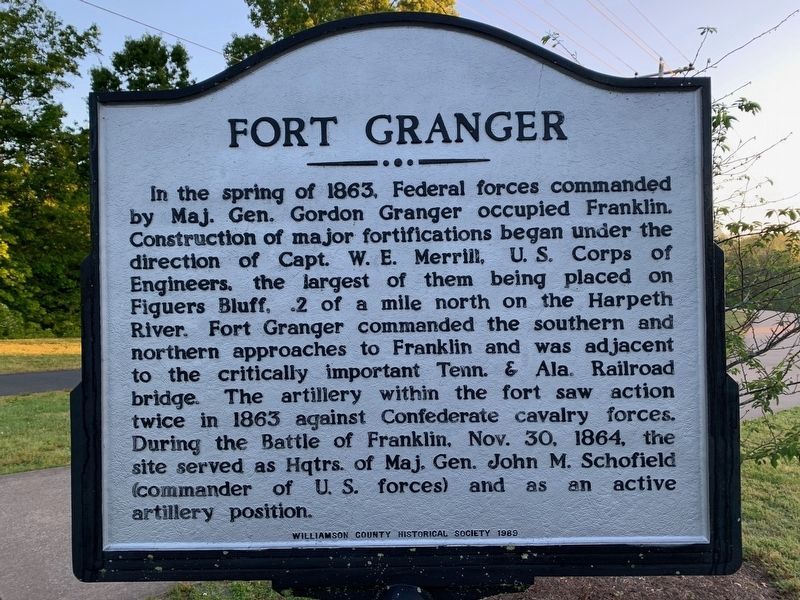
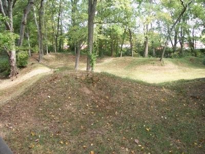
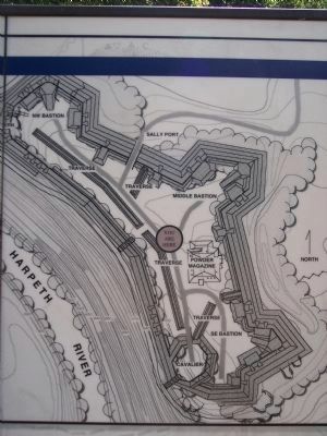
Fort Granger
Erected 1989 by Williamson County Historical Society.
Topics and series. This historical marker is listed in this topic list: War, US Civil. In addition, it is included in the Tennessee – Williamson County Historical Society series list. A significant historical date for this entry is October 30, 1864.
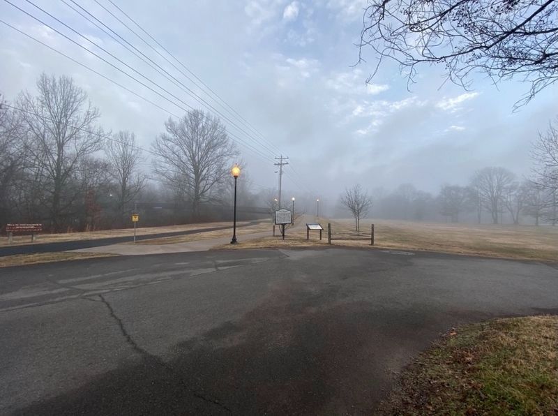
Location. 35° 55.32′ N, 86° 51.743′ W. Marker is in Franklin, Tennessee, in Williamson County. Marker can be reached from Murfreesboro Road. The marker is in Pinkerton Park, near the foot bridge. Touch for map. Marker is at or near this postal address: 405 Murfreesboro Road, Franklin TN 37064, United States of America. Touch for directions.
Other nearby markers. At least 8 other markers are within walking distance of this marker. A different marker also named Fort Granger (here, next to this marker); General Granger and Emancipation (here, next to this marker); Ewingville / Alexander Ewing (about 600 feet away, measured in a direct line); Franklin Railroad Depot (about 700 feet away); The Rainey House (approx. 0.2 miles away); Railroad Section Foreman's House / Pioneers' Corner (approx. 0.2 miles away); a different marker also named Fort Granger (approx. ¼ mile away); Andrew C. Vaughn House (approx. ¼ mile away). Touch for a list and map of all markers in Franklin.
Credits. This page was last revised on January 27, 2021. It was originally submitted on February 6, 2011, by Michael Dover of Ellerslie, Georgia. This page has been viewed 834 times since then and 13 times this year. Last updated on January 26, 2021, by Darren Jefferson Clay of Duluth, Georgia. Photos: 1. submitted on May 11, 2020. 2. submitted on January 26, 2021, by Darren Jefferson Clay of Duluth, Georgia. 3, 4. submitted on February 6, 2011, by Michael Dover of Ellerslie, Georgia. • Devry Becker Jones was the editor who published this page.


