Moorefield in Hardy County, West Virginia — The American South (Appalachia)
Confederate Memorial
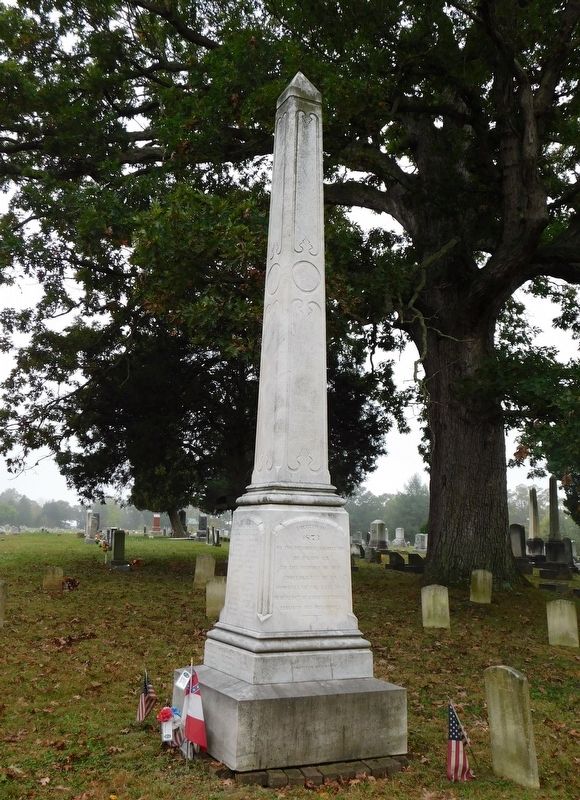
Photographed by Bradley Owen, October 14, 2017
1. Confederate Monument at Olivet Cemetery
Hardy Greys
Hardy Blues
Strangers
Fourteen Unknown
Erected 1873 by The Memorial Association of Hardy County.
Topics. This memorial is listed in these topic lists: Cemeteries & Burial Sites • War, US Civil.
Location. 39° 3.842′ N, 78° 57.688′ W. Memorial is in Moorefield, West Virginia, in Hardy County. It is on Olivet Drive 0.2 miles east of Winchester Avenue (Old West Virginia Route 55), on the right when traveling south. Touch for map. Memorial is at or near this postal address: 323 Winchester Ave, Moorefield WV 26836, United States of America. Touch for directions.

Regionally, this memorial is in the Eastern Panhandle. It is also in the American South, specifically in the Upper South, in Appalachia, and specifically in Northern Appalachia. Globally, it is in North America, the Western Hemisphere, the Western World, and the Anglosphere. Historically, it finds itself
this page online
Other nearby markers. At least 8 other markers are within walking distance of this marker: Olivet Cemetery (about 400 feet away, measured in a direct line); a different marker also named Cemetery Hill (about 400 feet away); Veterans Memorial (about 500 feet away); Hardy County's First Court House (approx. 0.4 miles away); a different marker also named Veterans Memorial (approx. 0.4 miles away); S. A. McMechen House (approx. half a mile away); McMechen House (approx. half a mile away); Moorefield (approx. half a mile away). Touch for a list and map of all markers in Moorefield.
Other markers no longer nearby. Cemetery Hill (was about 400 feet away but has been replaced with another marker now near it); a different marker also named McMechen House (was approx. half a mile away but has been replaced with another marker now near it).
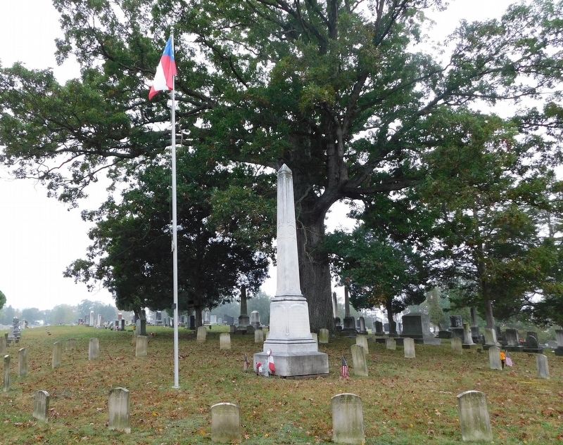
Photographed by Bradley Owen, October 14, 2017
2. Confederate Circle
Credits. This page was last revised on January 29, 2021. It was originally submitted on January 28, 2021, by Bradley Owen of Morgantown, West Virginia. This page has been viewed 530 times since then and 39 times this year. Photos: 1, 2. submitted on January 28, 2021, by Bradley Owen of Morgantown, West Virginia. • Bernard Fisher was the editor who published this page.
