Syms-Eaton Academy
"A free school to educate and teach the children."
| — | Explore Hampton 2010: From the Sea to the Stars | — |
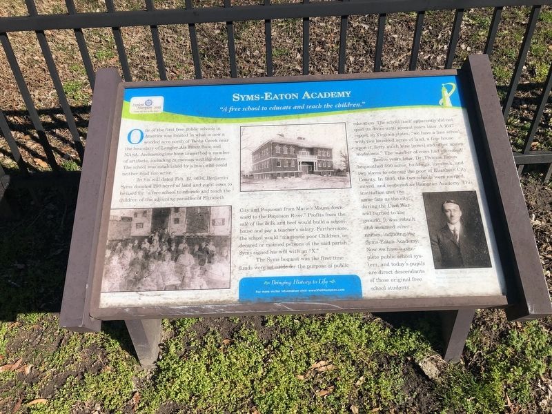
One of the first free public schools in America was located in what is now a wooded acre north of Tabbs Creek near the boundary of Langley Air Force Base and NASA Archaeologists have unearthed a number of artifacts including numerous writing slates. The school was established by a man who could neither read nor write.
In his will dated Feb. 12, 1634, Benjamin Syms donated 200 acres of land and eight cows to be used for "a free school to educate and teach the children of the adjoining parishes of Elizabeth City and Poquoson from Marie's Mount downward to the Poquoson River." Profits from the sale of the milk and beef would build a schoolhouse and pay a teacher's salary. Furthermore, the school would "manteyne poor Children, or decayed or maimed persons of the said parish." Syms signed his will with an "X."
The Syms bequest was the first time funds were set aside for the purpose of public education. The school itself apparently did not open its doors until several years later. A 1647 report on Virginia states, "we have a free school, with two hundred acres of land, a fine house upon it, forty milch kine [cows] and
this page online
Twelve years later, Dr. Thomas Eaton bequeathed 500 acres, buildings, livestock, and two slaves to educate the poor of Elizabeth City County. In 1805, the two schools were merged, moved, and reopened as Hampton Academy. This institution met the same fate as the city during the Civil War and burned to the ground. It was rebuilt and assumed other names, including the Syms-Eaton Academy. Now we have a complete public school system, and today's pupils are direct descendants of those original free school students.
Erected 2010 by Hampton Convention & Visitor Bureau.
Topics. This historical marker is listed in these topic lists: Anthropology & Archaeology • Colonial Era • Education. A significant historical date for this entry is February 12, 1634.
Location. 37° 1.572′ N, 76° 20.492′ W. Marker is in Hampton, Virginia. It is in Downtown. It is on Eaton Street just north of East Queen Street, on the right when traveling north. Touch for map. Marker is at or near this postal address: 1 Eaton St, Hampton VA 23669, United States of America. Touch for directions.
Regionally, this marker
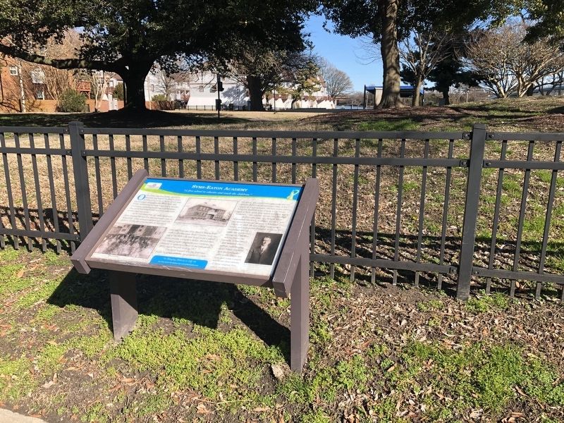
Other nearby markers. At least 8 other markers are within walking distance of this marker: Serio Boat Yard (a few steps from this marker); The Historic Post Office (within shouting distance of this marker); First United Methodist Church, Hampton (about 400 feet away, measured in a direct line); The Masonic Temple (about 500 feet away); The Sclater Building (about 700 feet away); The Southeast Corner (about 700 feet away); The Northeast Corner (about 800 feet away); King and Queen Streets (about 800 feet away). Touch for a list and map of all markers in Hampton.
Credits. This page was last revised on February 1, 2023. It was originally submitted on February 7, 2021, by Devry Becker Jones of Washington, District of Columbia. This page has been viewed 1,218 times since then and 90 times this year. Photos: 1, 2. submitted on February 7, 2021, by Devry Becker Jones of Washington, District of Columbia.
