Second Church at Kecoughton
"… where the people used to meet."
— Explore Hampton 2010: From the Sea to the Stars —
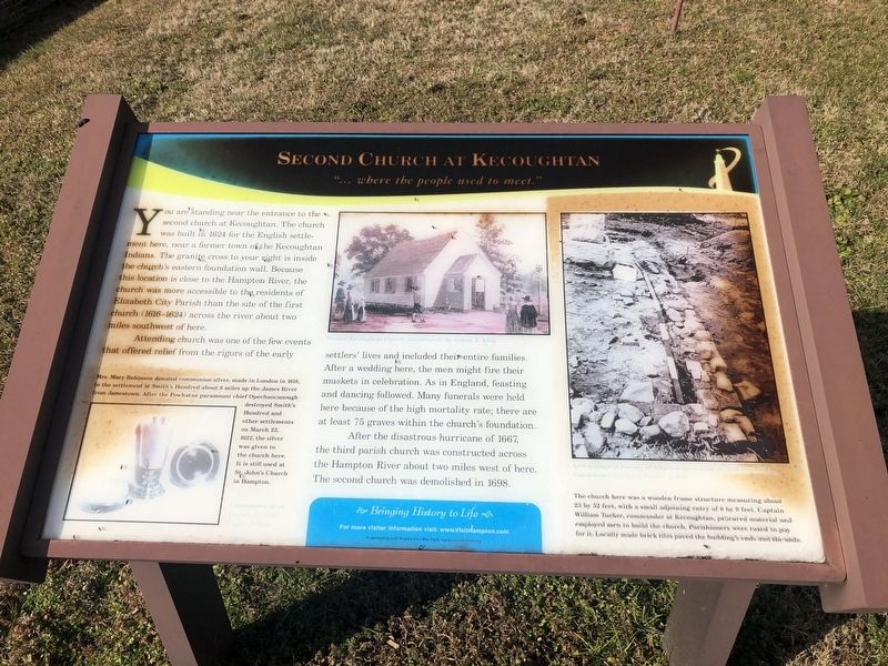
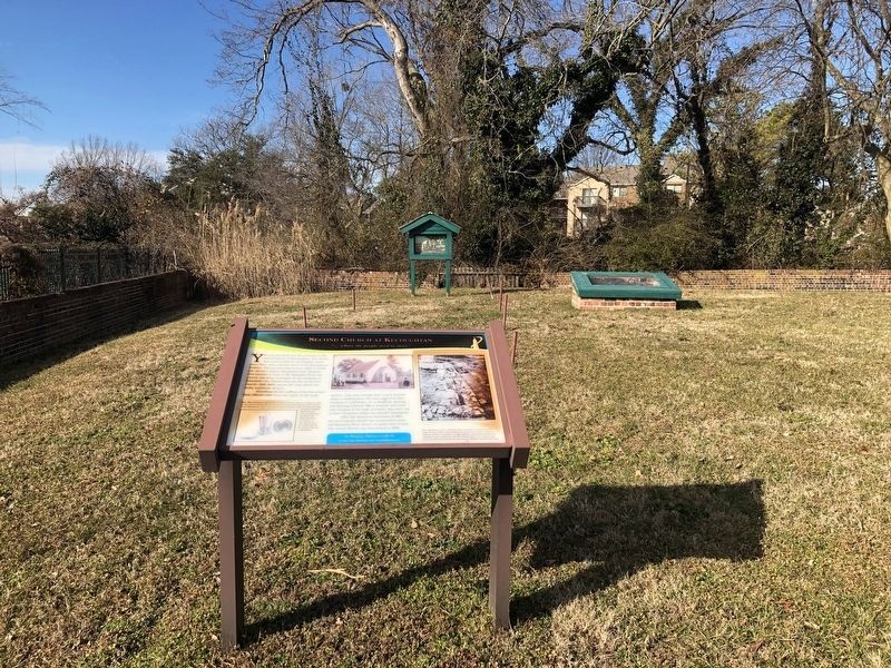
You are standing near the entrance to the second church a Kecoughton. The church was built in 1624 for the English settlement here, near a former town of the Kecoughtan Indians. The granite cross to your right is inside the church's eastern foundation wall. Because this location is close to the Hampton River, the church was more accessible to the residents of Elizabeth City Parish than the site of the first church (1616-1624) across the river about two miles southwest of here.,P> Attending church was one of the few events that offered relief from the rigors of the early settlers' lives and included their entire families. After a wedding here, the men might fire their muskets in celebration. As in England, feasting and dancing followed. Many funerals were held here because of the high mortality rate; there are at least 75 graves within the church's foundation.
After the disastrous hurricane of 1667, the third parish church was constructed across the Hampton River about two miles west of here. The second church was demolished in 1698.
[Captions:]
Mrs. Mary Robinson donated communion silver, made in London in 1618, to the settlement at Smith's Hundred about 8 miles up the James River from Jamestown. After the Powhatan paramount chief Opechancanough destroyed Smith' Hundred and other settlements on
March 22, 1622, the silver was given to the church here. It is still used at St. John's Church in Hampton.
The church here was a wooden frame structure measuring about 23 by 52 feet, with a small adjoining entry of 8 by 9 feet. Captain William Tucker, commander at Kecoughtan, procured material and employed men to build the church. Parishioners were taxed to pay for it. Locally made brick tiles paved the building's ends and the aisle.
Erected 2010 by Hampton Convention & Visitor Bureau.
Topics. This historical marker is listed in these topic lists: Anthropology & Archaeology • Churches & Religion • Colonial Era • Native Americans. A significant historical date for this entry is March 22, 1622.
Location. 37° 1.42′ N, 76° 20.097′ W. Marker is in Hampton, Virginia. It is in Phoebus. Marker can be reached from Hampton Harbor Avenue just south of Mariners Cove Road, on the right when traveling south. The archaeological site is behind a locked gate. The display is accessible with access from a security guard or a resident of the premises. Touch for map. Marker is at or near this postal address: 102 College Pl, Hampton VA 23669, United States of America. Touch for directions.
Other nearby markers. At least 8 other markers are within walking distance of this marker. This Wall (a few steps from this marker); "The Springe of Sweete Water" (a few steps from this marker); First Church at Kecoughtan
Credits. This page was last revised on February 1, 2023. It was originally submitted on February 8, 2021, by Devry Becker Jones of Washington, District of Columbia. This page has been viewed 149 times since then and 26 times this year. Photos: 1, 2. submitted on February 8, 2021, by Devry Becker Jones of Washington, District of Columbia.

