Phoebus in Hampton, Virginia — The American South (Mid-Atlantic)
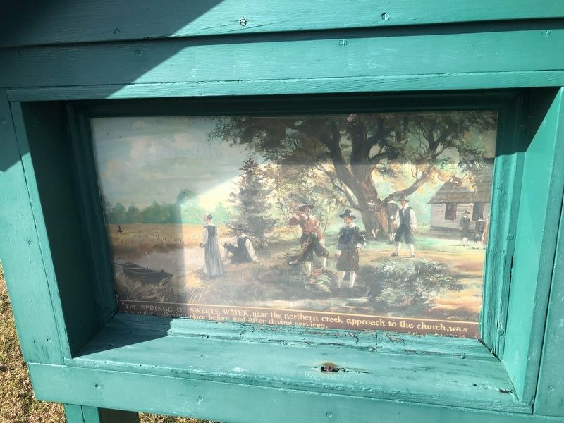
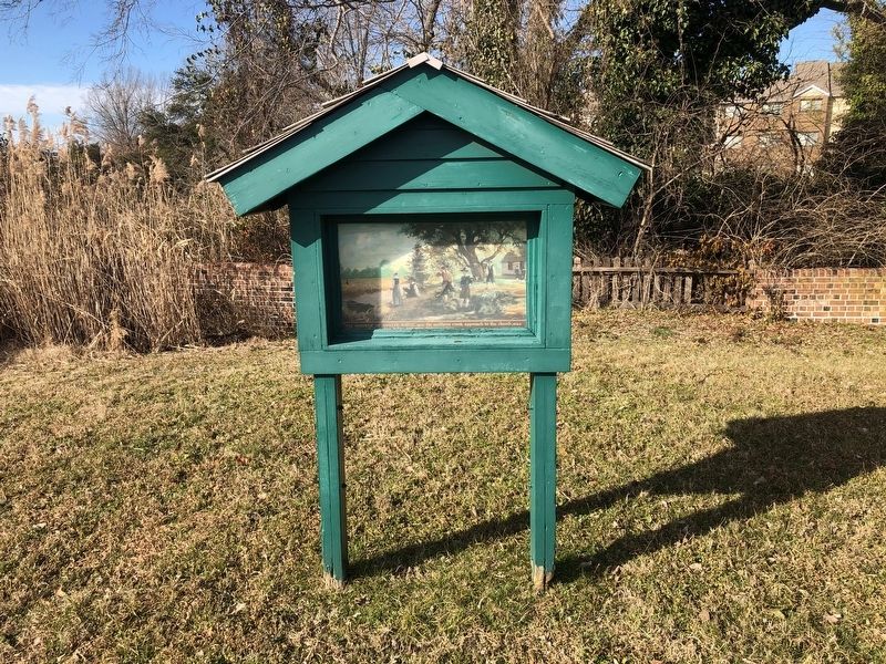
"The Springe of Sweete Water"
Topics. This historical marker is listed in these topic lists: Churches & Religion • Colonial Era • Waterways & Vessels.
Location. 37° 1.428′ N, 76° 20.1′ W. Marker is in Hampton, Virginia. It is in Phoebus. Marker can be reached from Hampton Harbor Avenue just south of Mariners Cove Road, on the right when traveling south. The archaeological site is behind a locked gate. The display is accessible with access from a security guard or a resident of the premises. Touch for map. Marker is at or near this postal address: 102 College Pl, Hampton VA 23669, United States of America. Touch for directions.
Other nearby markers. At least 8 other markers are within walking distance of this marker. Second Church at Kecoughton (a few steps from this marker); First Church at Kecoughtan (a few steps from this marker); This Wall (within shouting distance of this marker); Second Church at Kecoughtan (about 300 feet away, measured in a direct line); Phenix Hall (about 600 feet away); Camp Hamilton (approx. 0.2 miles away); The Hampton Indian Program (approx. 0.2 miles away); John Baptist Pierce (approx. 0.2 miles away). Touch for a list and map of all markers in Hampton.

Photographed By Devry Becker Jones (CC0), February 6, 2021
2. "The Springe of Sweete Water" Marker
Unfortunately, this section of the marker is hard to read.
Credits. This page was last revised on February 1, 2023. It was originally submitted on February 8, 2021, by Devry Becker Jones of Washington, District of Columbia. This page has been viewed 138 times since then and 6 times this year. Photos: 1, 2, 3. submitted on February 8, 2021, by Devry Becker Jones of Washington, District of Columbia.

