Why A Moat?
Fort Monroe
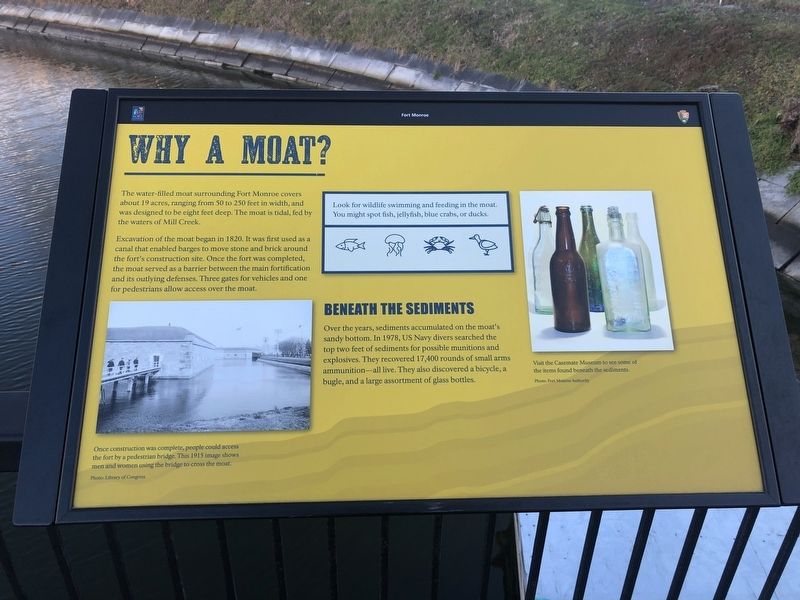
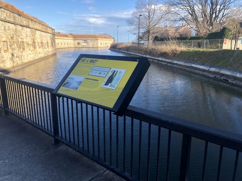
The water-filled moat surrounding Fort Monroe covers about 19 acres, ranging from 50 to 250 feet in width, and was designed to be eight feet deep. The moat is tidal, fed by the waters of Mill Creek.
Excavation of the moat began in 1820. It was first used as a canal that enabled barges to move stone and brick around the fort's construction site. Once the fort was completed, the moat served as a barrier between the main fortification and its outlying defenses. Three gates for vehicles and one for pedestrians allow access over the moat.
Beneath The Sediments
Over the years, sediments accumulated on the moat's sandy bottom. In 1978, US Navy divers searched the top two feet of sediments for possible munitions and explosives. They recovered 17,400 rounds of small arms ammunition—all live. They also discovered a bicycle, a bugle, and large assortments of glass bottles.
Erected by Fort Monroe Authority; National Park Service, U.S. Department of the Interior.
Topics. This historical marker is listed in these topic lists: Anthropology & Archaeology • Forts and Castles • Waterways & Vessels. A significant historical year for this entry is 1820.
Location. 37° 0.139′ N,
this page online

Regionally, this marker is on Virginia’s Peninsula and in Coastal Virginia. It is also in the American South, specifically in the Upper South, in the Tidewater, and on the Eastern Seaboard. Globally, it is in the North Atlantic Region, North America, the Western Hemisphere, the Western World, and the Anglosphere. Historically, it finds itself in what was once the territory of the Mississippian Culture, one of the original Thirteen Colonies, one of the Confederate States of America, and the Antebellum South.
Other nearby markers. At least 8 other markers are within walking distance of this marker: Fort Monroe's Arc Of Freedom (here, next to this marker); Enormous Undertaking: The Fort's Construction (here, next to this marker); How Big Is Fort Monroe? (a few steps from this marker); Who Built Fort Monroe? (a
Credits. This page was last revised on February 1, 2023. It was originally submitted on February 9, 2021, by Devry Becker Jones of Washington, District of Columbia. This page has been viewed 793 times since then and 81 times this year. Photos: 1, 2. submitted on February 9, 2021, by Devry Becker Jones of Washington, District of Columbia.
