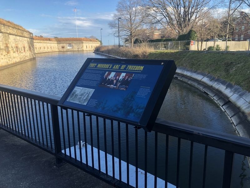
Fort Monroe's Arc Of Freedom
Fort Monroe
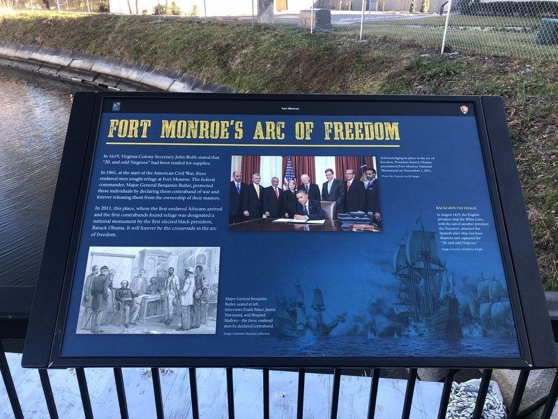
In 1619, Virginia Colony Secretary John Rolfe stated that "20, and odd Negroes" had been traded for supplies.
In 1861, at the start of the American Civil War, three enslaved men sought refuge at Fort Monroe. The federal commander, Major General Benjamin Butler, protected these individuals by declaring them contraband of war and forever releasing them from the ownership of their masters.
In 2011, this place where the first enslaved Africans arrived and the first contrabands found refuge was designated a national monument by the first elected black president, Barack Obama. It will forever be the crossroads in the arc of freedom.
[Captions:]
Acknowledging its place in the arc of freedom, President Barack Obama proclaimed fort Monroe National Monument on November 1, 2011.
Photo: Rex Features via AP images
Major General Benjamin Butler, seated at left, interviews Frank Baker, James Townsend, and Shepard Mallory—the three enslaved men he declared contraband.
Image: Casemate Museum collection
Background Image
In August 161, the English privateer ship the White Lion, with the aid of another privateer the Treasurer, attacked the Spanish slave ship San Juan Bautista and captured the "20. and odd
Image Courtesy of Kathryn Knight
Erected by Fort Monroe Authority; National Park Service, U.S. Department of the Interior.
Topics and series. This historical marker is listed in these topic lists: African Americans • Forts and Castles • War, US Civil • Waterways & Vessels. In addition, it is included in the Former U.S. Presidents: #44 Barack Obama series list. A significant historical month for this entry is August 1619.
Location. 37° 0.139′ N, 76° 18.64′ W. Marker is in Hampton, Virginia. It is in Fort Monroe. Marker is on Ingalls Road just north of Fenwick Road, on the left when traveling south. Touch for map. Marker is at or near this postal address: 32 Ingalls Rd, Fort Monroe VA 23651, United States of America. Touch for directions.
Other nearby markers. At least 8 other markers are within walking distance of this marker. Why A Moat? (here, next to this marker); Enormous Undertaking: The Fort's Construction (a few steps from this marker); How Big Is Fort Monroe? (a few steps from this marker); Who Built Fort Monroe? (a few steps from this marker); A Bay Worth Preserving (a few steps from this marker); Why Was The Fort Built Here? (within shouting distance of this marker); Wisser Hall: From Books To War Games (within
Additional keywords. human trafficking
Credits. This page was last revised on February 1, 2023. It was originally submitted on February 9, 2021, by Devry Becker Jones of Washington, District of Columbia. This page has been viewed 184 times since then and 23 times this year. Photos: 1, 2. submitted on February 9, 2021, by Devry Becker Jones of Washington, District of Columbia.

