Hesperia in San Bernardino County, California — The American West (Pacific Coastal)
Las Flores Ranch
⎯⎯⎯
Guapiabit
⎯⎯⎯
This Fenced Lane
⎯⎯⎯
Mojave Trail
Photographed by Michael Kindig, June 18, 2011
1. Las Flores Ranch Marker
This is a four-sided monument with four markers:
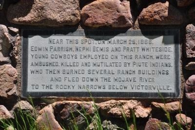
Near this spot on March 25, 1866, Edwin Parrish, Nephi Bemis and Pratt Whiteside, young cowboys employed on this ranch, were ambushed, killed and mutilated by Piute Indians, who then burned several ranch buildings and fled down the Mojave River to the rocky narrows below Victorville.
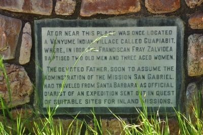
At or near this place was once located a Vanyume Indian village called Guapiabit, where, in 1808, the Franciscan Fray Zalvidea baptised two old men and three aged women.
The devoted father, soon to assume the administration of the Mission San Gabriel, had traveled from Santa Barbara as official diarist of an expedition sent out in quest of suitable sites for inland missions.
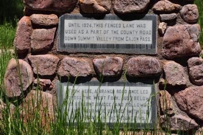
Until 1924, this fenced lane was used as a part of the county road down Summit Valley from Cajon Pass.
From here, a branch road once led across the West Fork, just below the present bridge, and followed up the stream to connect with old lumber roads in the mountains.
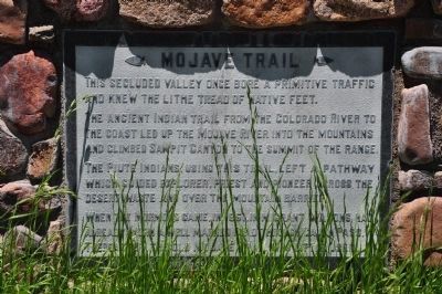
Mojave Trail
This secluded valley once bore a primitive traffic and knew the lithe tread of native feet.
The ancient Indian trail
this page online
The Piute Indians, using this trail, left a pathway which guided explorer, priest and pioneer across the desert waste and over the mountain barrier.
When the Mormons came, in 1851, immigrant wagons had already worn a well marked road through Cajon Pass. Thereafter, the old Mojave Trail was little used.
Erected 1969 by Billy Holcomb Chapter No. 1069 E Clampus Vitus.
Topics and series. This historical marker is listed in these topic lists: Agriculture • Exploration • Indigenous Peoples and Communities • Settlements & Settlers. In addition, it is included in the E Clampus Vitus, and the Mojave Road (Old Government Road) series lists.
Location. 34° 18.676′ N, 117° 19.407′ W. Marker is in Hesperia, California, in San Bernardino County. It can be reached from California Route 173 2 miles east of Route 138. The marker is located on the Las Flores Ranch, which is private property, not open to the public. The plaque is in the central
Photographed by Michael Kindig, June 18, 2011
2. Las Flores Ranch Marker

Regionally, this marker is in Greater Los Angeles, in the Peninsular Ranges, and specifically in the Transverse Ranges. It is also in the American Southwest. Globally, it is in North America, on the Ring of Fire, on the Pacific Rim, in the Western Hemisphere, in the Western World, and in the Anglosphere. Historically, it finds itself in what was once New Spain and also Mexico’s Alta California.
Other nearby markers. At least 8 other markers are within 7 miles of this marker, measured as the crow flies: Las Flores Ranch Barn (within shouting distance of this marker); Garces-Smith Monument (approx. 4.9 miles away); Atongai Indian Village (approx. 5.1 miles away); Hesperia’s Original Water Source (approx. 5.1 miles away); Mormon Lumber Road (approx. 5.6 miles away); Elliot Ranch (approx. 5.7 miles away); Summit Train Station (approx. 5.7 miles away); Mojave Indian Trail (approx. 6½ miles away). Touch for a list and map of all markers in Hesperia.
More about this marker. The
Photographed by Michael Kindig, June 18, 2011
3. Las Flores Ranch Marker
SOURCE: Billy Holcomb Chapter 1069 35th Anniversary Plaque Book by Phillip Holdaway
Photographed by Michael Kindig, June 18, 2011
4. Mojave Trail Marker
Photographed by Michael Kindig, June 18, 2011
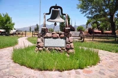
5. Las Flores Ranch Monument and Bell
This monument is on private property.
Photographed by Michael Kindig, June 18, 2011
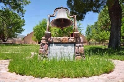
6. Las Flores Ranch Monument and Bell
View showing the Mojave Trail marker.
Photographed by Michael Kindig, June 18, 2011
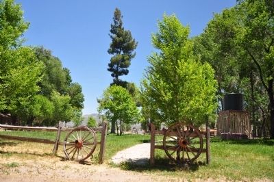
7. Las Flores Ranch
Photographed by Michael Kindig, August 3, 2013
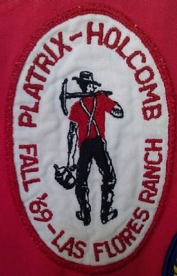
8. Event Patch
Credits. This page was last revised on March 6, 2025. It was originally submitted on December 17, 2011, by Michael Kindig of Elk Grove, California. This page has been viewed 4,146 times since then and 165 times this year. Last updated on February 10, 2021, by Craig Baker of Sylmar, California. Photos: 1, 2, 3, 4, 5, 6, 7. submitted on December 17, 2011, by Michael Kindig of Elk Grove, California. 8. submitted on March 1, 2014, by Michael Kindig of Elk Grove, California. • J. Makali Bruton was the editor who published this page.
