Leo in Jackson County, Ohio — The American Midwest (Great Lakes)
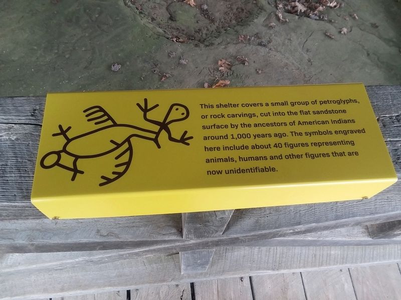
This shelter covers a small group of petroglyphs
Inscription.
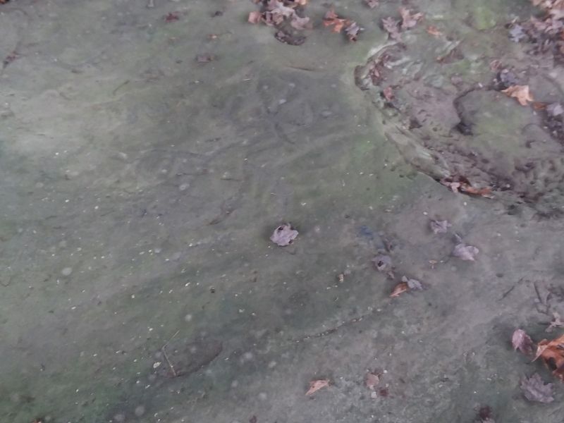
This shelter covers a small group of petroglyphs,
or rock carvings, cut into the flat sandstone
surface by the ancestors of American Indians
around 1,000 years ago. The symbols engraved
here include about 40 figures representing
animals, humans and other figures that are
now unidentifiable.
Topics. This historical marker is listed in these topic lists: Anthropology & Archaeology • Native Americans.
Location. 39° 9.05′ N, 82° 40.483′ W. Marker is in Leo, Ohio, in Jackson County. Marker is on Park Road (Local Highway 224) 0.4 miles west of Raysville Road (Local Highway 29), on the right when traveling east. Touch for map. Marker is at or near this postal address: 357 Park Road, Ray OH 45672, United States of America. Touch for directions.
Other nearby markers. At least 8 other markers are within 7 miles of this marker, measured as the crow flies. Leo Petroglyphs (here, next to this marker); We cannot know for certain the meaning of the symbols (here, next to this marker); Welcome to Leo Petroglyphs & Natural Preserve (within shouting distance of this marker); Trails / The Kanawha Trail (approx. 7 miles away); John Wollam (approx. 7.1 miles away); James M. Compston (approx. 7.1 miles away); POW★MIA (approx. 7.1 miles away); Jackson County Veterans Memorial (approx. 7.1 miles away). Touch for a list and map of all markers in Leo.
Credits. This page was last revised on February 11, 2021. It was originally submitted on February 10, 2021, by Craig Doda of Napoleon, Ohio. This page has been viewed 97 times since then and 5 times this year. Photos: 1, 2. submitted on February 10, 2021, by Craig Doda of Napoleon, Ohio. • Devry Becker Jones was the editor who published this page.

