Carlisle in Cumberland County, Pennsylvania — The American Northeast (Mid-Atlantic)
The Forbes Road
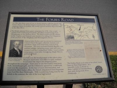
The British planned three great campaigns for 1758. One would capture Fort Louisbourgh in Canada. Another would besiege Fort Ticonderoga on the Hudson River. The third would end the attacks on the Virginia and Pennsylvania frontiers by taking Fort Duquesne at the junction of the Allegheny and Monongahela Rivers.
General John Forbes and his second-in-command Colonel Henri Bouquet collected, trained and marched a large force from here west to Fort Duquesne. The force included British regulars and colonial militias, including men and some women from the Cumberland Valley. Local notable campaigners were John Anderson, Hugh Mercer, and James Burd.
Carlisle was the headquarters of the effort when Bouquet and Forbes were here in early summer. It remained the depot and shipping point throughout the campaign. From June to late November, forts were built, skirmishes fought, and the wilderness opened by a well-built road over the mountains. In the face of such determination, and deserted by their Indian allies, the French abandoned Fort Duquesne (later Fort Pitt, then Pittsburgh). With Louisbourg being won by the British in the summer, the tide of the war had turned.
The Forbes Road, as it came to be called, began here on West High Street. It is traceable today as Route 11 from Carlisle to Chambersburg and west along route 30 to Pittsburgh.
Erected by Historic Carlisle, Inc.
Topics and series. This historical marker is listed in these topic lists: Roads & Vehicles • War, French and Indian. In addition, it is included in the Forbes Road series list. A significant historical year for this entry is 1758.
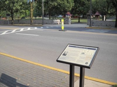
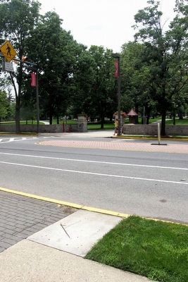
Location. Marker has been reported missing. It was located near 40° 12.138′ N, 77° 11.852′ W. Marker was in Carlisle, Pennsylvania, in Cumberland County. Marker was on W High Street (U.S. 11), on the right when traveling west. Marker is located on W High Street, between College Street and Mooreland Avenue. Touch for map. Marker was in this post office area: Carlisle PA 17013, United States of America. Touch for directions.
Other nearby markers. At least 8 other markers are within walking distance of this location. Dickinson Students Part Ways (here, next to this marker); The Benjamin Rush Campus of Dickinson College (within shouting distance of this marker); The Charles Nisbet Campus of Dickinson College (within shouting distance of this marker); Dickinson College (about 600 feet away, measured in a direct line); West College: A National Historic Landmark (about 700 feet away); Old West (about 700 feet away); Beta Pi Chapter of Kappa Sigma Fraternity (about 700 feet away); Dickinson College during the Gettysburg Campaign (about 700 feet away). Touch for a list and map of all markers in Carlisle.
More about this marker. The left of the marker contains a portrait of “British General John Forbes, leader of the British expedition to capture Fort Duquesne.” At the upper right is a “Map of Forbes’ Road 1755-1758 from Guns At The Forks by Walter O’Meara published by the University of Pittsburgh Press, 1979.” Below this is an “Image of a letter from Colonel George Washington at Fort Loudon to Brigadier General John Forbes, written May 4, 1758. The letter recounts the reconnaissance activities of British forces around the French-held Fort Duquesne on the Ohio River. Original letter preserved in the National Archives of Scotland.”
Credits. This page was last revised on February 12, 2021. It was originally submitted on September 6, 2010, by Bill Coughlin of Woodland Park, New Jersey. This page has been viewed 1,341 times since then and 55 times this year. Last updated on February 12, 2021, by Carl Gordon Moore Jr. of North East, Maryland. Photos: 1, 2. submitted on September 6, 2010, by Bill Coughlin of Woodland Park, New Jersey. 3. submitted on July 28, 2015, by Larry Gertner of New York, New York. • J. Makali Bruton was the editor who published this page.


