Alexandria in Licking County, Ohio — The American Midwest (Great Lakes)
William Mears Dawes Gristmill
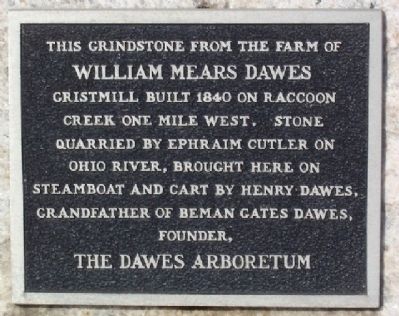
Photographed by William Fischer, Jr., February 5, 2009
1. William Mears Dawes Gristmill Marker
Topics. This historical marker is listed in these topic lists: Agriculture • Industry & Commerce • Settlements & Settlers • Waterways & Vessels. A significant historical year for this entry is 1840.
Location. 40° 5.252′ N, 82° 36.583′ W. Marker is in Alexandria, Ohio, in Licking County. It is at the intersection of Main Street (Ohio Route 37) and Granville Street, on the right when traveling west on Main Street. Touch for map. Marker is in this post office area: Alexandria OH 43001, United States of America. Touch for directions.

Regionally, this marker is in the Columbus Metropolitan Area. It is also in the American Midwest, in the Corn Belt, in Appalachia, and specifically in Northern Appalachia. Globally, it is in North America, the Western Hemisphere, the Western World, and the Anglosphere. Historically, it finds itself in what
this page online
Other nearby markers. At least 8 other markers are within 3 miles of this marker, measured as the crow flies: Willoughby Dayton Miller (approx. ¼ mile away); Alexander Devilbiss (approx. 0.3 miles away); Veterans Memorial (approx. 0.4 miles away); Lest We Forget (approx. 0.4 miles away); Old Pioneer Cemetery (approx. half a mile away); Alexandria (approx. 0.7 miles away); Gaffield Cemetery (approx. 2 miles away); Major General Charles Griffin (approx. 3 miles away). Touch for a list and map of all markers in Alexandria.
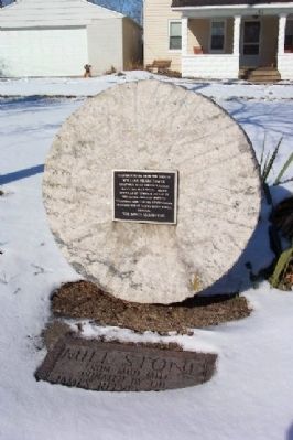
Photographed by William Fischer, Jr., February 5, 2009
2. William Mears Dawes Gristmill Marker
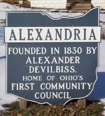
Photographed by William Fischer, Jr., February 5, 2009
3. Alexandria Corporate Limit Marker
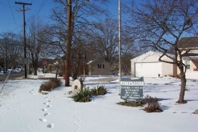
Photographed by William Fischer, Jr., February 5, 2009
4. William Mears Dawes Gristmill Marker
Looking northeast.
Credits. This page was last revised on December 2, 2019. It was originally submitted on March 4, 2009, by William Fischer, Jr. of Reynoldsburg, Ohio. This page has been viewed 1,485 times since then and 36 times this year. Photos: 1, 2, 3, 4. submitted on March 4, 2009, by William Fischer, Jr. of Reynoldsburg, Ohio. • Bill Pfingsten was the editor who published this page.
