Ridgeway in Berkeley County, West Virginia — The American South (Appalachia)
West Virginia (Berkeley County) / Virginia
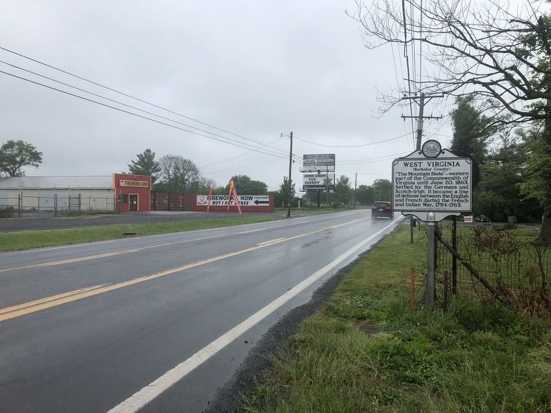
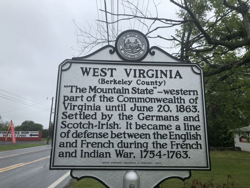
West Virginia (Berkeley County). "The Mountain State—western part of the Commonwealth of Virginia until June 20, 1863. Settled by the Germans and Scotch-Irish. It became a line of defense between the English and French during the French and Indian War, 1754-1763.
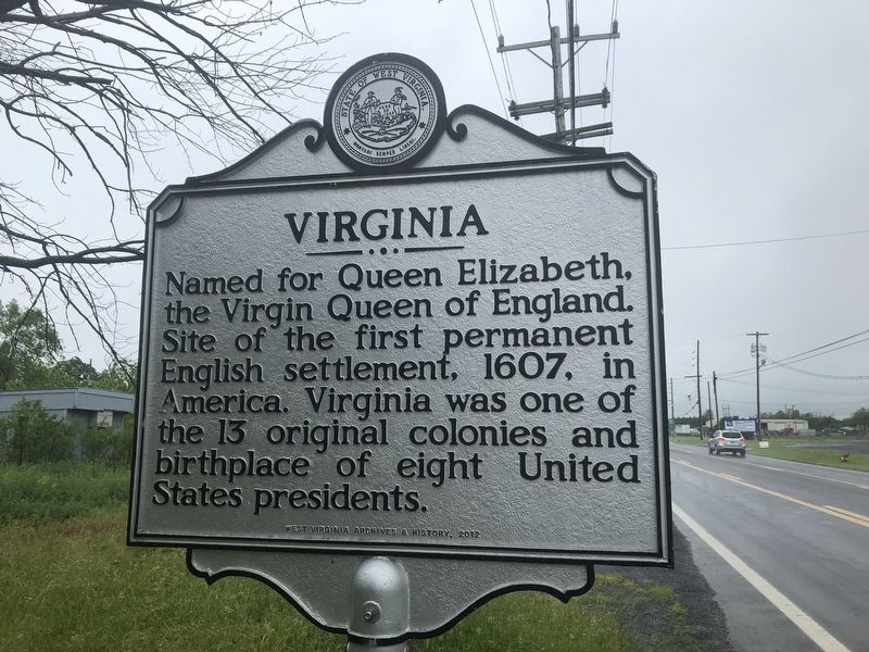
Virginia. Named for Queen Elizabeth, the Virgin Queen of England. Site of the first permanent English settlement, 1607, in America. Virginia was one of the 13 original colonies and birth place of eight United States presidents.
Erected 2012 by West Virginia Archives & History.
Topics and series. This historical marker is listed in these topic lists: Colonial Era • Political Subdivisions • Settlements & Settlers • War, French and Indian. In addition, it is included in the West Virginia Archives and History series list. A significant historical date for this entry is June 20, 1863.
Location. 39° 17.716′ N, 78° 4.737′ W. Marker is in Ridgeway, West Virginia, in Berkeley County. Marker is on Winchester Avenue (U.S. 11) 0.2 miles south of Specks Run Road, on the right when traveling north. Touch for map. Marker is at or near this postal address: 3 Winchester Ave, Bunker Hill WV 25413, United States of America. Touch for directions.
Other nearby markers. At least 8 other markers are within 3 miles of this marker, measured as the crow flies. West Virginia / Frederick County (about 700 feet away, measured in a direct line in Virginia); Gettysburg Campaign (approx. 1.8 miles away); James Johnston Pettigrew Monument (approx. 2˝ miles away); Hopewell Friends Meeting House (approx. 2.9 miles away in Virginia); Cool Spring Presbyterian Church (approx. 2.9 miles away); Morgan Cabin (approx. 2.9 miles away); Zacquill Morgan House (approx. 2.9 miles away); Morgan Chapel (approx. 2.9 miles away).

Photographed By Devry Becker Jones (CC0), May 28, 2020
3. West Virginia (Berkeley County) / Virginia Marker
Credits. This page was last revised on March 30, 2022. It was originally submitted on May 28, 2020, by Devry Becker Jones of Washington, District of Columbia. This page has been viewed 232 times since then and 18 times this year. Last updated on February 20, 2021, by Carl Gordon Moore Jr. of North East, Maryland. Photos: 1, 2, 3. submitted on May 28, 2020, by Devry Becker Jones of Washington, District of Columbia.

