Near Crystal River in Citrus County, Florida — The American South (South Atlantic)
Felburn Park
Marjorie Harris Carr Cross Florida Greenway
A Man-made Lake
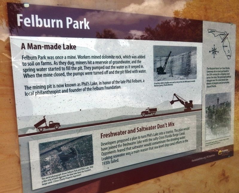
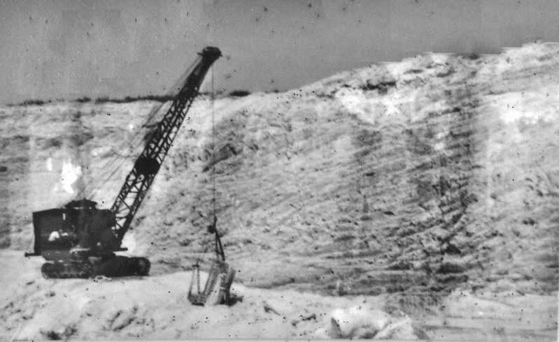
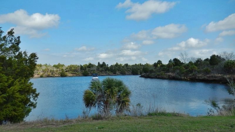
Felburn Park was once a mine. Workers mined dolomite rock, which was added to soil on farms. As they dug, miners hit a reservoir of groundwater, and the spring water started to fill the pit. They pumped out the water as it seeped in. When the mine closed the pumps were turned off and the pit filled with water.
The mining pit is now known as Phil's Lake, in honor of the late Phil Felburn, a local philanthropist and founder of the Felburn Foundation.
Freshwater and Saltwater Don't Mix
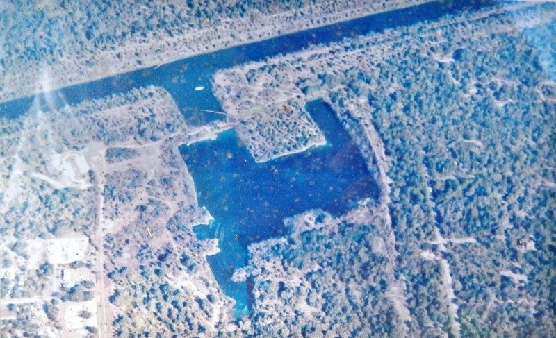
Developers proposed a plan to turn Phil's Lake into a marina. The plan would have joined the freshwater lake with the salty Cross Florida Barge Canal. Opponents feared that saltwater would contaminate the drinking water. Leaking seawater was a main reason that sea-level ship canal efforts in the 1930s failed.
Erected by Florida State Parks.
Topics. This historical marker is listed in these topic lists: Environment • Industry & Commerce • Parks & Recreational Areas • Waterways & Vessels.
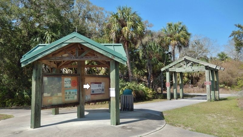
Location. 29° 0.771′ N, 82° 39.436′ W. Marker is near Crystal River, Florida, in Citrus County. Marker can be reached from North Suncoast Boulevard (U.S. 19) 0.3 miles north of West Cornflower Drive, on the right when traveling north. Access to Felburn Park is via service road on east side of North Suncoast Boulevard (U.S. Highway 19/98). Marker is located at the Withlacoochee Bay Trailhead kiosk, on the north side of the parking lot in Felburn Park. Touch for map. Marker is at or near this postal address: 10201 North Suncoast Boulevard, Crystal River FL 34428, United States of America. Touch for directions.
Other nearby markers. At least 8 other markers are within 9 miles of this marker, measured as the crow flies. Inglis Island Overlook (approx. 1.3 miles away); Inglis Bypass Spillway (approx. 1.3 miles away); Inglis Main Dam (approx. 2˝ miles away); Inglis Lock (approx. 2.6 miles away); Withlacoochee Bay Trail (approx. 4.9 miles away); Historic Crystal River Train Depot (approx. 8.6 miles away); Crystal Street Historic Oak Canopy (approx. 8.6 miles away); Kings Bay Park (approx. 8.9 miles away). Touch for a list and map of all markers in Crystal River.
More about this marker. Related marker on west side of kiosk, "Marjorie Harris Carr Cross Florida Greenway," is replicated at multiple locations along the greenway.
Related markers. Click here for a list of markers that are related to this marker. Marjorie Harris Carr Cross Florida Greenway
Also see . . .
1. Felburn Park. Eastward from Felburn Park you will cross between the approximately 30-acre freshwater
Phil’s Lake and the brackish water Cross Florida Barge Canal. The trail continues eastward and climbs up a slight rise onto the top of the berm created by the construction of the canal. (Submitted on February 23, 2021, by Cosmos Mariner of Cape Canaveral, Florida.)
2. Marjorie Harris Carr Cross Florida Greenway. One of the nation's largest incomplete public works projects has been transformed into the diverse Cross Florida Greenway, spanning Central Florida from the Gulf of Mexico to the St. Johns River. (Submitted on February 23, 2021, by Cosmos Mariner of Cape Canaveral, Florida.)
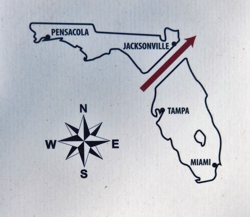
5. Marker detail: Marjorie Harris Carr Cross Florida Greenway
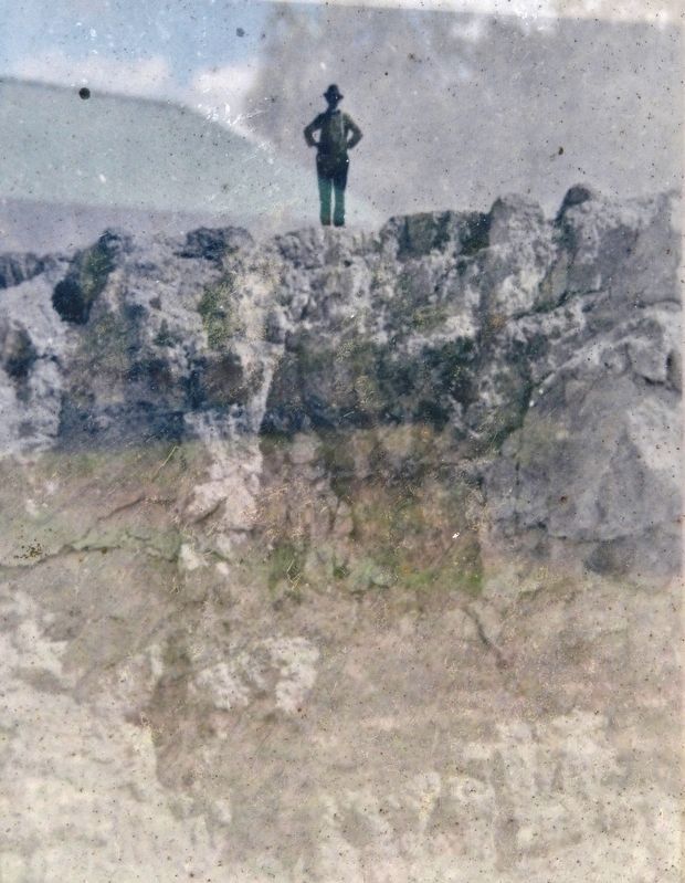
The Marjorie Harris Carr Cross Florida Greenway sits on land purchased in the 20th century for a shipping canal across the state. The prolonged political struggle over the canal shows how dreams of progress and preservation shaped Florida.
Credits. This page was last revised on March 7, 2021. It was originally submitted on February 22, 2021, by Cosmos Mariner of Cape Canaveral, Florida. This page has been viewed 274 times since then and 50 times this year. Photos: 1. submitted on February 22, 2021, by Cosmos Mariner of Cape Canaveral, Florida. 2, 3, 4, 5, 6, 7. submitted on February 23, 2021, by Cosmos Mariner of Cape Canaveral, Florida.
