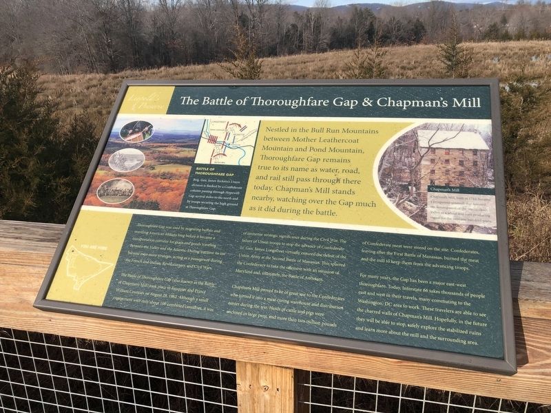
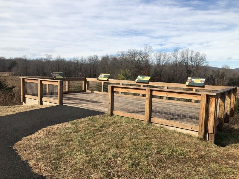
The Battle of Thoroughfare Gap & Chapman's Mill
Leopold's Preserve

Battle of Thoroughfare Gap
Brig. Gen. James Ricketts's Union division is flanked by a Confederate column passing through Hopewell Gap several miles to the north and by troops securing the high ground at Thoroughfare Gap.
Nestled in the Bull Run Mountains between Mother Leathercoat Mountain and Pond Mountain, Thoroughfare Gap remains true to its name as water, road, and rail still pass through there today. Chapman's Mill stands nearby, watching oer the Gap much as it did during the battle.
Chapman's Mill
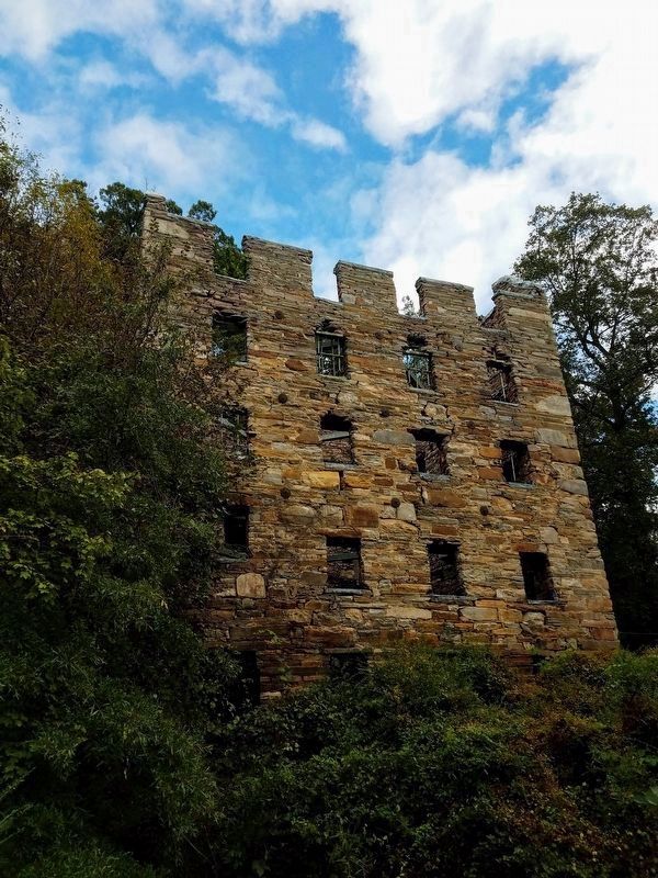
Chapman's Mill, built in 1742, became a prosperous gristmill that fostered the development of the Shenandoah Valley as a wheat and corn producing region for the next one hundred years.
Thoroughfare Gap was used by migrating buffalo and traveling American Indians long before it became a transportation corridor for grain and goods traveling between the Valley and the Atlantic. During wartime its use became even more strategic, acting as a passageway during the French and Indian, Revolutionary, and Civil Wars.
The Battle of Thoroughfare Gap (also known as the Battle of Chapman's Mill) took place in Fauquier and Prince William Counties on August 28, 1862. Although a small engagement with only about 100 combined casualties, it was of immense strategic
significance during the Civil War. The failure of Union troops to stop the advance of Confederate Lt. Gen. James Longstreet virtually ensured the defeat of the Union Army at the Second Battle of Manassas. This spurred the Confederacy to take the offensive with an invasion of Maryland and, ultimately, the Battle of Antietam.Chapman's Mill proved to be of great use to the Confederates who turned it into a meat curing warehouse and distribution center during the war. Herds of cattle and pigs were enclosed in large pens, and more than two million pounds of Confederate meat were stored on the site. Confederates, leaving after the First Battle of Manassas, burned the meat and the mill to keep them from the advancing troops.
For many years, the Gap has been a major east-west thoroughfare. Today, Interstate 66 takes thousands of people east and west in their travels, many commuting to the Washington, DC area to work. These travelers are able to see the charred walls of Chapman's Mill. Hopefully, in the future they will be able to stop, safely explore the stabilized ruins and learn more about the mill and the surrounding area.
Topics. This historical marker is listed in these topic lists: Agriculture • Colonial Era • Industry & Commerce • War, US Civil. A significant historical date for this entry is August 28, 1862.
Location. 38° 49.029′

Other nearby markers. At least 8 other markers are within 2 miles of this marker, measured as the crow flies. The Thoroughfare Colored / North Fork School (here, next to this marker); Water Fowl And Their Habitat (a few steps from this marker); Antioch-McCrae African American School (about 500 feet away, measured in a direct line); Farm Life (approx. ¼ mile away); Free People Of Color At Thoroughfare (approx. ¼ mile away); Aldo Leopold (approx. 1.2 miles away); On Hallowed Ground (approx. 1.2 miles away); The Battle of Buckland Mills (approx. 1.3 miles away). Touch for a list and map of all markers in Haymarket.
Credits. This page was last revised on February 28, 2021. It was originally submitted on January 2, 2021, by Devry Becker Jones of Washington, District of Columbia. This page has been viewed 401 times since then and 57 times this year. Last updated on February 25, 2021, by Carl Gordon Moore Jr. of North East, Maryland. Photos: 1, 2. submitted on January 2, 2021, by Devry Becker Jones of Washington, District of Columbia. 3. submitted on January 5, 2021, by Bradley Owen of Morgantown, West Virginia.
