Near Ocala in Marion County, Florida — The American South (South Atlantic)
Shangri-La Diggings
Marjorie Harris Carr Cross Florida Greenway
High and Dry in the Sandhill
Look around — do you notice sandy soil and pine trees? This habitat is called sandhill. It grows on ancient sand dunes left behind when sea levels were higher. Sandhill is now exceptionally rare. It's ideal for building houses, shopping centers and golf courses.
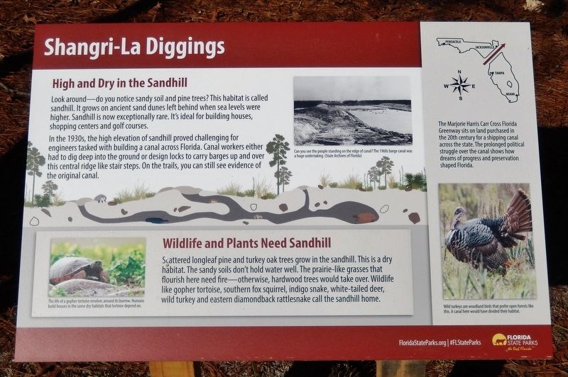
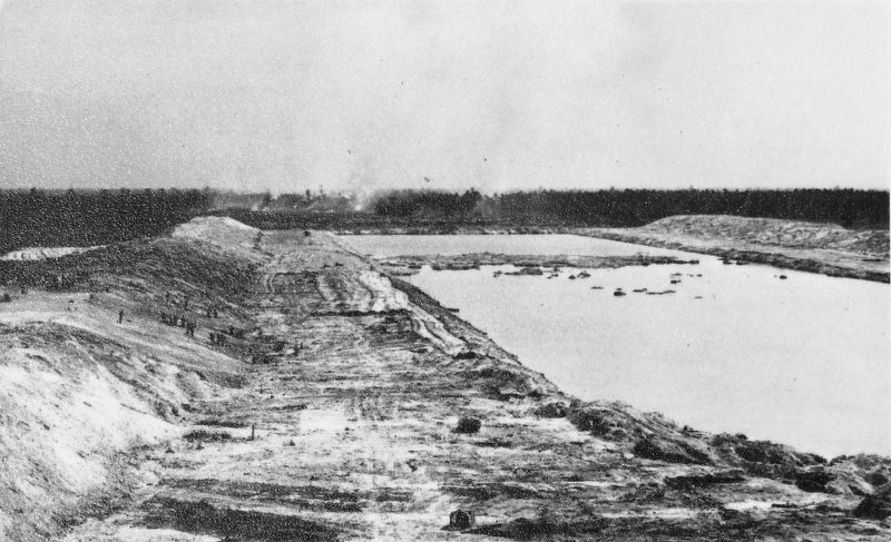
In the 1930s, the high elevation of sandhill proved challenging for engineers tasked with building a canal across Florida. Canal workers either had to dig deep into the ground or design locks to carry barges up and over this central ridge like stair steps. On the trails, you can still see evidence of the original canal.
Wildlife and Plants Need Sandhill
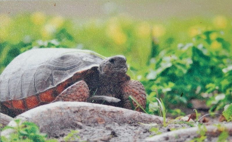
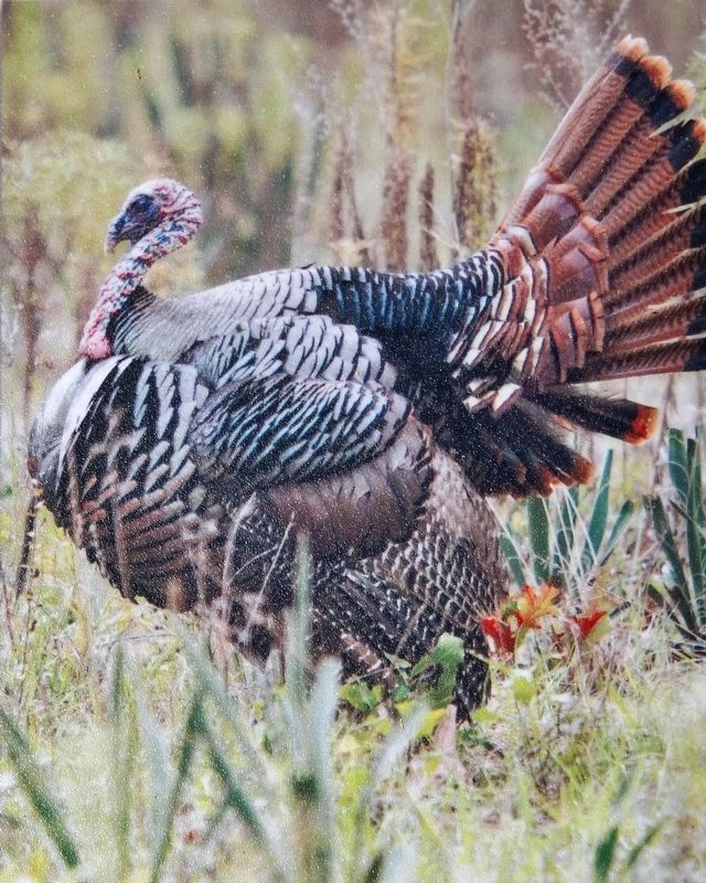
Scattered longleaf pine and turkey oak trees grow in the sandhill. This is a dry habitat. The sandy soils don't hold water well. The prairie-like grasses that flourish here need fire — otherwise, hardwood trees would take over. Wildlife like gopher tortoise, southern fox squirrel, indigo snake, white-tailed deer, wild turkey and eastern diamondback rattlesnake call the sandhill home.
Erected by Florida State Parks.
Topics. This historical marker is listed in these topic lists: Animals • Environment • Parks & Recreational Areas • Waterways & Vessels.
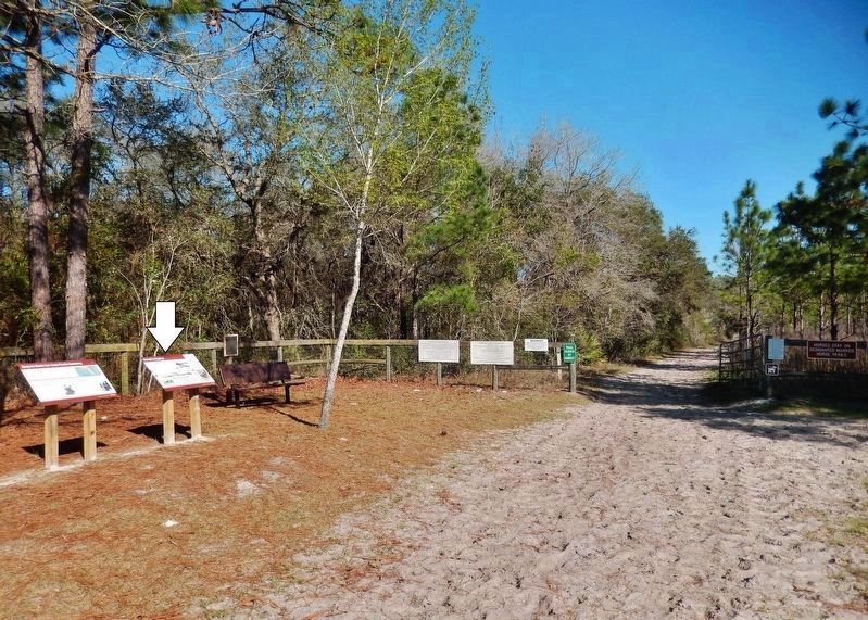
Location. 29° 2.351′ N, 82° 14.36′ W. Marker is near Ocala, Florida, in Marion County. Marker can be reached from Southwest 69th Court just north of Southwest 128th Street. Marker is located beside the equestrian trail on the west side of the Shangri-La Trailhead day use parking area. Touch for map. Marker is at or near this postal address: 12788 Southwest 69th Court, Ocala FL 34473, United States of America. Touch for directions.
Other nearby markers. At least 8 other markers are within 9 miles of this marker, measured as the crow flies. Ross Prairie (approx. 3.4 miles away); Rest for the Weary (approx. 3.4 miles away); Marjorie Harris Carr Cross Florida Greenway (approx. 4.3 miles away); Landbridge West (approx. 4.3 miles away); Landbridge East (approx. 4.4 miles away); Florida Honors and Remembers our POW’s and MIA’s (approx. 5.1 miles away); Old Canal Landfill (approx. 6˝ miles away); Pruitt Trailhead (approx. 8.4 miles away). Touch for a list and map of all markers in Ocala.
More about this marker. Adjacent marker, "Marjorie Harris Carr Cross Florida Greenway," is replicated at multiple locations along the greenway.
Related markers. Click here for a list of markers that are related to this marker. Marjorie Harris Carr Cross Florida Greenway
Also see . . .
1. Shangri-La Trailhead and Campground. Imagine what it must have been like during the Great Depression
when thousands of workers armed with picks and shovels worked incessantly to dig toward the bedrock and water table below to facilitate a canal below sea-level. Now, 80 years later the scars have healed, but the excavated berms still stand as reminders of hardships and endeavors long gone. (Submitted on February 28, 2021, by Cosmos Mariner of Cape Canaveral, Florida.)
2. Cross Florida Barge Canal (Wikipedia). The planned route of the canal followed the St. Johns River from the Atlantic coast to Palatka, the valley of the Ocklawaha River to the coastal divide, and the Withlacoochee River to the Gulf of Mexico. About 28% of the 107 mile project was built. (Submitted on February 28, 2021, by Cosmos Mariner of Cape Canaveral, Florida.)
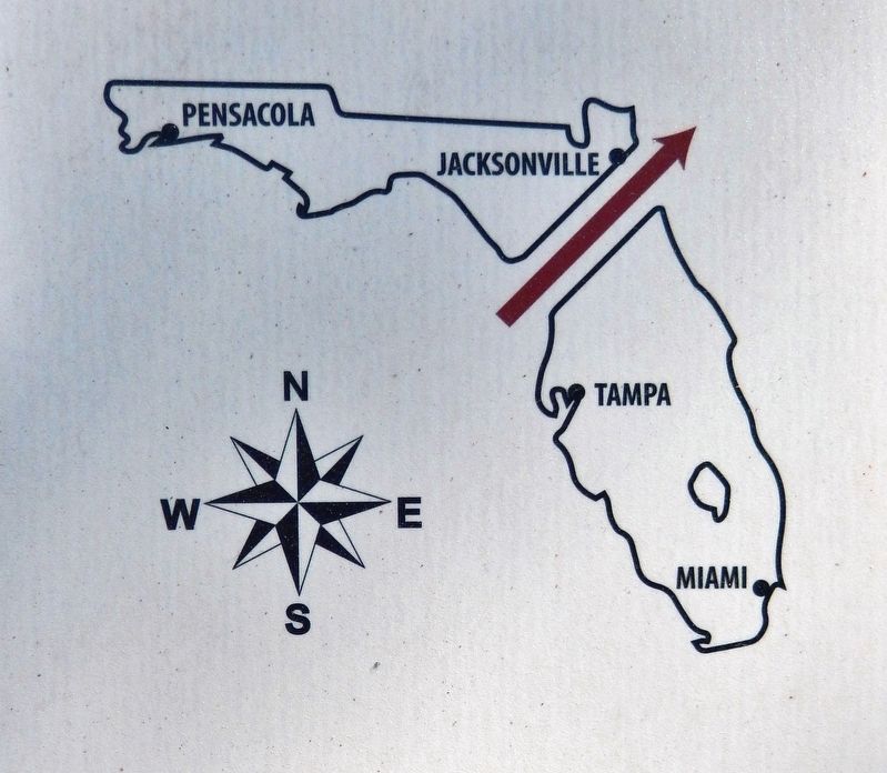
5. Marker detail: Marjorie Harris Carr Cross Florida Greenway
The Marjorie Harris Carr Cross Florida Greenway sits on land purchased in the 20th century for a shipping canal across the state. The prolonged political struggle over the canal shows how dreams of progress and preservation shaped Florida.
Credits. This page was last revised on March 7, 2021. It was originally submitted on February 26, 2021, by Cosmos Mariner of Cape Canaveral, Florida. This page has been viewed 333 times since then and 44 times this year. Photos: 1, 2, 3, 4, 5, 6. submitted on February 28, 2021, by Cosmos Mariner of Cape Canaveral, Florida.
