Ocala in Marion County, Florida — The American South (South Atlantic)
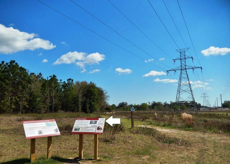
Baseline Trailhead
Marjorie Harris Carr Cross Florida Greenway
From the Gulf — to Golf
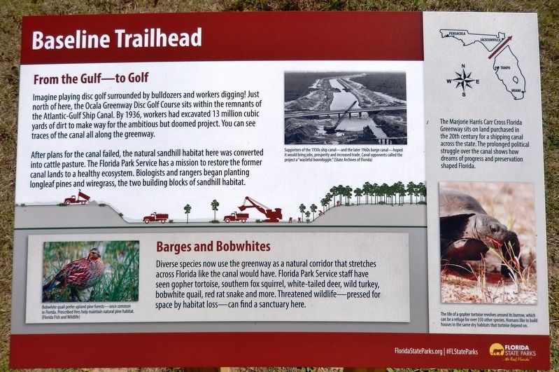
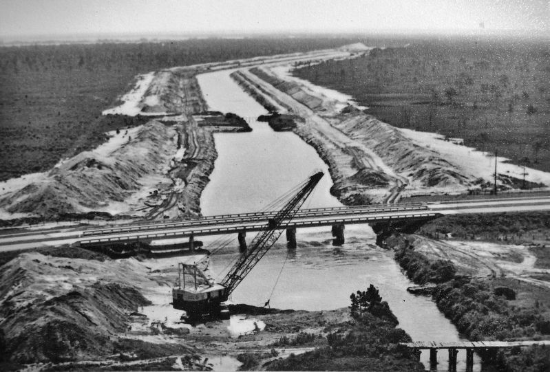
Imagine playing disc golf surrounded by bulldozers and workers digging! Just north of here, the Ocala Greenway Disc Golf Course sits within the remnants of the Atlantic-Gulf Ship Canal. By 1936, workers had excavated 13 million cubic yards of dirt to make way for the ambitious but doomed project. You can see traces of the canal all along the greenway.
After plans for the canal failed, the natural sandhill habitat here was converted into cattle pasture. The Florida Park Service has a mission to restore the former canal lands to a healthy ecosystem. Biologists and rangers began planting longleaf pines and wiregrass, the two building blocks of sandhill habitat.
Barges and Bobwhites
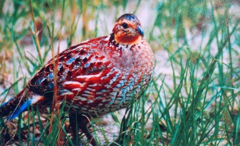
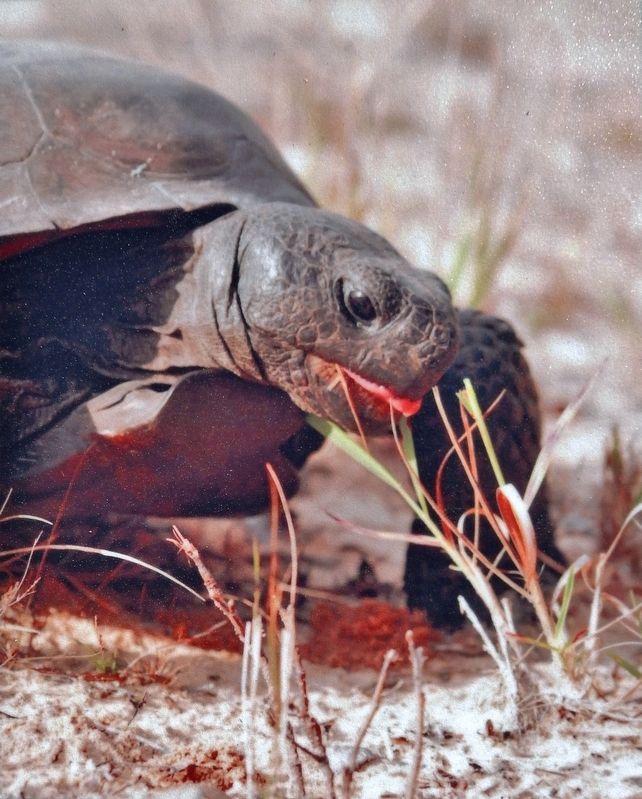
Diverse species now use the greenway as a natural corridor that stretches across Florida like the canal would have. Florida Park Service staff have seen gopher tortoise, southern fox squirrel, white-tailed deer, wild turkey, bobwhite quail, red rat snake and more. Threatened wildlife — pressed for space by habitat loss — can find a sanctuary here.
Erected by Florida State Parks.
Topics. This historical marker is listed in these topic lists: Animals • Environment • Parks & Recreational Areas • Waterways & Vessels.
Location. 29° 8.568′ N, 82° 3.14′ W. Marker is in Ocala, Florida, in Marion County. Marker can be reached from Southeast 58th Avenue (Baseline Road) (Florida Route 35) 5 miles south of East Silver Springs Boulevard (Florida Route 40), on the left when traveling south. Marker is located along the Florida Trail, on the east side of the Baseline Road Trailhead parking lot. Touch for map. Marker is at or near this postal address: 4255 Southeast 58th Avenue, Ocala FL 34472, United States of America. Touch for directions.
Other nearby markers. At least 8 other markers are within 4 miles of this marker, measured as the crow flies. History of Santos Community (approx. 3.3 miles away); Fort King (approx. 3˝ miles away); The Canal Story (approx. 3˝ miles away); David Laffey Heritage Garden (approx. 3˝ miles away); Canal Building (approx. 3˝ miles away); Canal Stopping (approx. 3.6 miles away); Historical Perspective (approx. 3.6 miles away); A Beautiful Place (approx. 3.6 miles away). Touch for a list and map of all markers in Ocala.
More about this marker. Adjacent marker, "Marjorie Harris Carr Cross Florida Greenway," is replicated at multiple locations along the greenway.
Related markers.
Click here for a list of markers that are related to this marker. Marjorie Harris Carr Cross Florida Greenway
Also see . . . Cross Florida Barge Canal (Wikipedia). The Cross Florida Barge Canal, now officially the Marjorie Harris Carr Cross Florida Greenway is a protected green belt corridor, more than one mile wide in places. It is named for the leader of opposition to the Cross Florida Barge Canal, Marjorie Harris Carr, and was originally a U.S. Army Corps of Engineers canal project to connect the Gulf of Mexico and the Atlantic Ocean across Florida for barge traffic. (Submitted on February 28, 2021, by Cosmos Mariner of Cape Canaveral, Florida.)
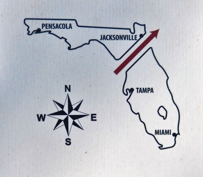
5. Marker detail: Marjorie Harris Carr Cross Florida Greenway
The Marjorie Harris Carr Cross Florida Greenway sits on land purchased in the 20th century for a shipping canal across the state. The prolonged political struggle over the canal shows how dreams of progress and preservation shaped Florida.
Credits. This page was last revised on March 7, 2021. It was originally submitted on February 26, 2021, by Cosmos Mariner of Cape Canaveral, Florida. This page has been viewed 256 times since then and 30 times this year. Photos: 1, 2, 3, 4, 5, 6. submitted on February 28, 2021, by Cosmos Mariner of Cape Canaveral, Florida.
