
Near Kearneysville in Berkeley County, West Virginia — The American South (Appalachia)
Stone House Mansion
West Virginia 9
| — | Charles Town to Martinsburg | — |
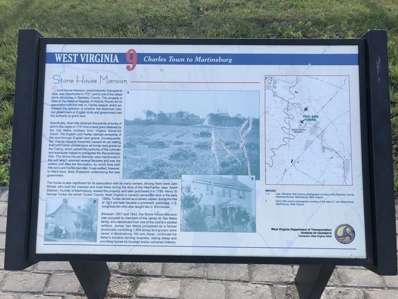
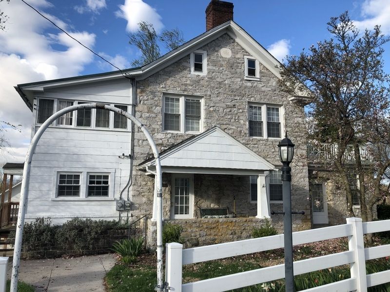
Stone House Mansion, predominantly Georgian in style, was constructed in 1757, and is one of the oldest stone structures in Berkeley County. The property is listed in the National Register of Historic Places for its association with the Hite vs. Fairfax lawsuit, which addressed the question of whether the American colonial government or English lords and government had the authority to grant land.
Specifically, Host Hite obtained thousands of acres of land in this region in 1731 from a land grant obtained by the Van Metre brothers from Virginia Governor Gooch. The English Lord Fairfax claimed ownership of this land through English land grants. Consequently, the Virginia General Assembly passed an act stating that Lord Fairfax should honor all former land grants by the Colony, which upheld the authority of the colonies and eventually helped to precipitate the Revolutionary War. The Stone House Mansion was mentioned in the suit, which spanned several decades and was not settled until after the Revolution, by which time both Hite and Lord Fairfax had died. It was settled, however, in Hite's favor, likely to prevent undermining
this page online
The house is also significant for its association with its many owners. Among them were John Strode, who built the mansion and lived there during the time of the Hite/Fairfax case. Adam Stephen, founder of Martinsburg, leased the property and later purchased it in 1789. Henry St. George Tucker (for whom Tucker County, West Virginia is named) owned the farm in the early 1800s. Tucker served as a cavalry captain during the War of 1812 and later became a prominent, published, U.S. congressman who also taught law in Winchester.
Between 1857 and 1942, the Stone House Mansion was occupied by members of the James M. Van Metre family, who descended from one of the county's earliest settlers. James Van Metre prospered as a farmer (eventually controlling 1,800 acres) and grocery store owner in Martinsburg. His son, Isaac, continued his father's lucrative farming business, raising sheep and providing homes for troubled and/or troubled orphans.
Erected by West Virginia Department of Transportation, Division of Highways.
Topics and series. This historical marker is listed in these topic lists: Agriculture •
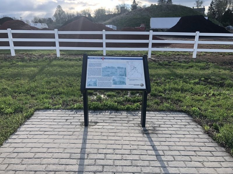
Location. 39° 23.943′ N, 77° 55.274′ W. Marker is near Kearneysville, West Virginia, in Berkeley County. It is on Route 9 Bike Path south of Short Road (County Route 9/19), on the right when traveling north. Touch for map. Marker is at or near this postal address: 1373 Short Rd, Kearneysville WV 25430, United States of America. Touch for directions.

Regionally, this marker is in the Eastern Panhandle. It is also in the American South, specifically in the Upper South, in Appalachia, and specifically in Northern Appalachia. Globally, it is in North America, the Western Hemisphere, the Western World, and the Anglosphere. Historically, it finds itself in what was once the territory of the Mississippian Culture and also the Antebellum South.
Other nearby markers. At least 8 other markers are within 3 miles of this marker, measured as the crow flies: Shaw Run Wetland Complex (approx. ¼ mile away); Veterans Administration Center (approx. one mile away); Kearneysville Area Historic Properties
Credits. This page was last revised on August 1, 2023. It was originally submitted on April 18, 2019, by Devry Becker Jones of Washington, District of Columbia. This page has been viewed 3,193 times since then and 107 times this year. Last updated on February 26, 2021, by Carl Gordon Moore Jr. of North East, Maryland. Photos: 1, 2, 3. submitted on April 18, 2019, by Devry Becker Jones of Washington, District of Columbia. • J. Makali Bruton was the editor who published this page.
