Punta Gorda in Charlotte County, Florida — The American South (South Atlantic)
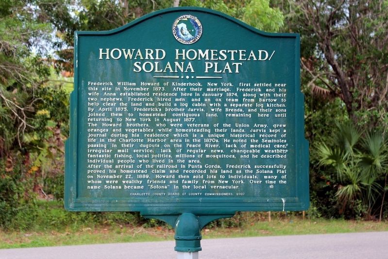
Howard Homestead/Solana Plat
The Howard brothers, who were veterans of the Union Army, grew oranges and vegetables while homesteading their lands. Jarvis kept a journal during his residence which is a unique historical record of life in the Charlotte Harbor area in the 1870s. He noted the Seminoles passing in their dugouts on the Peace River, lack of medical care, irregular mail service, lack of regular news, changeable weather, fantastic fishing, local politics, millions of mosquitoes, and he described individual people who lived in the area.
After the arrival of the railroad in Punta Gorda, Frederick successfully proved his homestead claim and recorded his land as the Solana Plat on November 22, 1889. Howard then sold lots to individuals, many of whom were wealthy friends and family from New York. Over time the name Solana became "Solona" in the local vernacular.
Erected 2007 by Charlotte County Board of County Commissioners.
Topics. This historical marker is listed in these topic lists: Agriculture • Native Americans • Settlements & Settlers • War, US Civil. A significant historical month for this entry is November 1873.
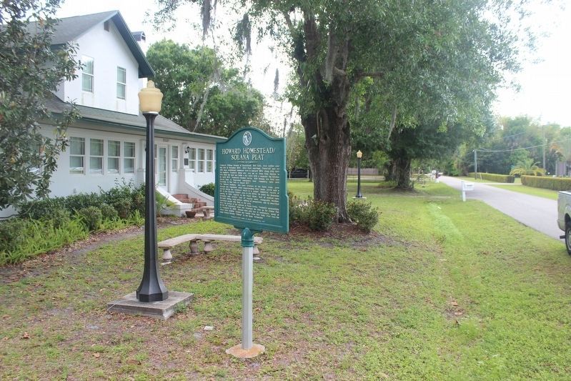
Location. 26° 56.935′ N, 82° 1.509′ W. Marker is in Punta Gorda, Florida, in Charlotte County. Marker is at the intersection of Howard Street and Shore Drive, on the left when traveling north on Howard Street. Touch for map. Marker is in this post office area: Punta Gorda FL 33950, United States of America. Touch for directions.
Other nearby markers. At least 8 other markers are within 2 miles of this marker, measured as the crow flies. Combat Wounded Veterans (approx. 1.6 miles away); Destroyer Escort Sailors (approx. 1.6 miles away); China Burma India Theatre Veterans (approx. 1.6 miles away); Veterans Memorial (approx. 1.6 miles away); Vietnam Veterans (approx. 1.6 miles away); Armed Guard (approx. 1.6 miles away); a different marker also named Veterans Memorial (approx. 1.6 miles away); a different marker also named Veterans Memorial (approx. 1.7 miles away). Touch for a list and map of all markers in Punta Gorda.
Also see . . . Solana Plat. (Submitted on February 27, 2021, by Tim Fillmon of Webster, Florida.)
Credits. This page was last revised on April 19, 2021. It was originally submitted on February 27, 2021, by Tim Fillmon of Webster, Florida. This page has been viewed 245 times since then and 14 times this year. Photos: 1, 2. submitted on April 19, 2021, by Tim Fillmon of Webster, Florida.

