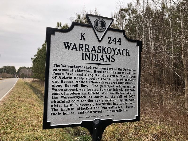
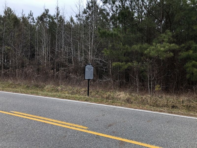
Near Rescue in Isle of Wight County, Virginia — The American South (Mid-Atlantic)
Warraskoyack Indians
Erected 2016 by Department of Historic Resources. (Marker Number K-244.)
Topics and series. This historical marker is listed in these topic lists: Colonial Era • Native Americans • Settlements & Settlers. In addition, it is included in the Virginia Department of Historic Resources (DHR) series list. A significant historical year for this entry is 1607.
Location. 36° 59.618′ N, 76° 33.116′ W. Marker is near Rescue, Virginia, in Isle of Wight County. Marker is on Smiths Neck Road (Virginia Route 665) 0.1 miles south of Kings Lane, on the right when traveling north. Touch for map. Marker is at or near this postal address: 10696 Smiths Neck Rd, Rescue VA 23424, United States of America. Touch for directions.
Other nearby markers. At least 8 other markers are within 4 miles of this marker, measured as the crow flies. Nike-Ajax Missile Radar Control Site N-75C (approx. 1.4 miles away); 1954 Nike-Ajax Missile Site N-75L (approx. 2.2 miles away); People and Places, circa 1957 at N-75L (approx. 2.3 miles away); Missile Magazine and Launch Operations (approx. 2.3 miles away); James River (approx. 2.8 miles away); Josiah Parker (approx. 3.3 miles away); Liquid Maze (approx. 4.1 miles away); Smithfield (approx. 4.1 miles away).
Related marker. Click here for another marker that is related to this marker. Old Marker At This Location also titled "Warraskoyack Indians".
Also see . . . The Warraskoyack: A Brief History. St. Luke's Historic Church & Museum (Submitted on November 9, 2021.)
Credits. This page was last revised on November 9, 2021. It was originally submitted on February 27, 2021, by Devry Becker Jones of Washington, District of Columbia. This page has been viewed 295 times since then and 38 times this year. Photos: 1, 2. submitted on February 27, 2021, by Devry Becker Jones of Washington, District of Columbia.

