Williamsburg, Virginia — The American South (Mid-Atlantic)
Methodism in Williamsburg
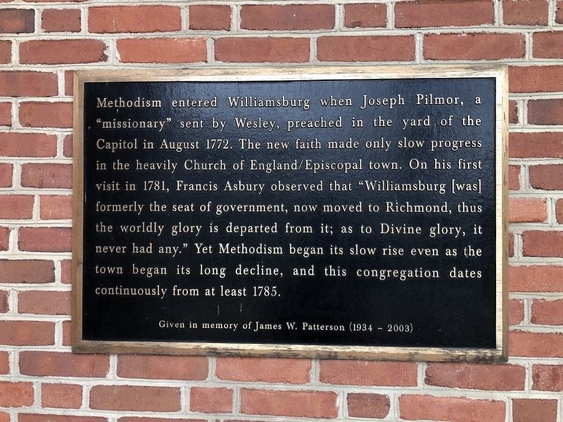
Erected by Williamsburg United Methodist Church, given in memory of James W. Patterson (1934 - 2003).
Topics and series. This historical marker is listed in these topic lists: Colonial Era • Religion & Religious Structures. In addition, it is included in the Francis Asbury, Traveling Methodist Preacher series list. A significant historical month for this entry is August 1772.
Location. 37° 16.074′ N, 76° 42.774′ W. Marker is in Williamsburg, Virginia. It is on Jamestown Road (Virginia Route 5) just south of Cary Street, on the left when traveling south. Touch for map.
this page online

Regionally, this marker is on Virginia’s Peninsula, in Coastal Virginia, and in the Hampton Roads Metropolitan Area. It is also in the American South, specifically in the Upper South, in the Tidewater, and on the Eastern Seaboard. Globally, it is in the North Atlantic Region, North America, the Western Hemisphere, the Western World, and the Anglosphere. Historically, it finds itself in what was once the territory of the Mississippian Culture, one of the original Thirteen Colonies, one of the Confederate States of America, and the Antebellum South.
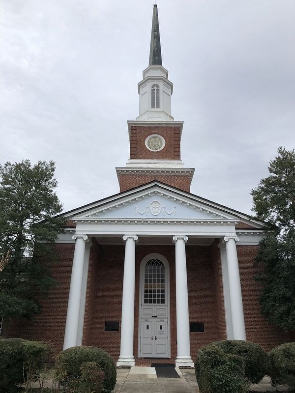
Other nearby markers. At least 8 other markers are within walking distance of this marker: Williamsburg United Methodist Church (here, next to this marker); College Camp (approx. ¼ mile away); Indian School at the College of William & Mary (approx. 0.3 miles away); In Gallia Nati Mortui in Virginia (approx. 0.3 miles away); The Christopher Wren Building (approx. 0.3 miles away); Priorities of the College of William and Mary (approx. 0.3 miles
Credits. This page was last revised on March 2, 2021. It was originally submitted on March 2, 2021, by Devry Becker Jones of Washington, District of Columbia. This page has been viewed 341 times since then and 33 times this year. Photos: 1, 2. submitted on March 2, 2021, by Devry Becker Jones of Washington, District of Columbia.
