Near Inglis in Levy County, Florida — The American South (South Atlantic)
Inglis Bypass Spillway
Marjorie Harris Carr Cross Florida Greenway
Unintended Consequences
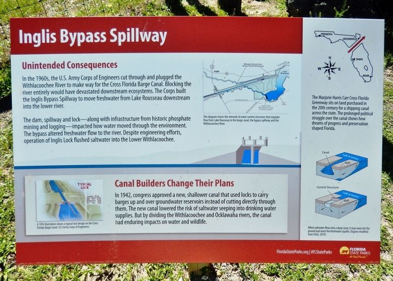
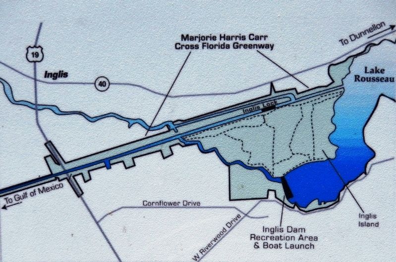
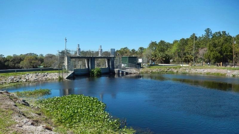
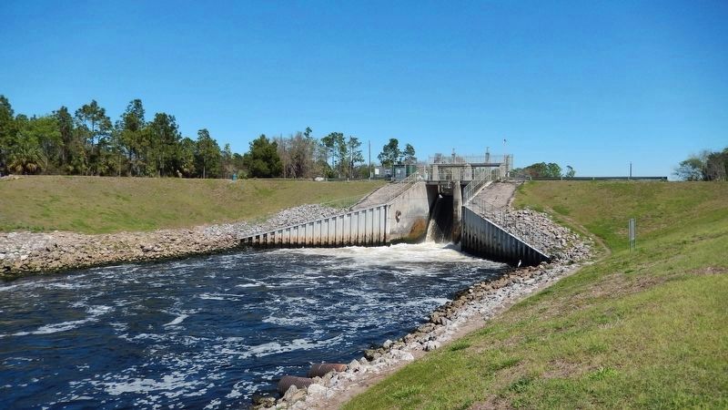
In the 1960s, the U.S. Army Corps of Engineers cut through and plugged the Withlacoochee River to make way for the Cross Florida Barge Canal. Blocking the river entirely would have devastated downstream ecosystems. The Corps built the Inglis Bypass Spillway to move freshwater from Lake Rousseau downstream into the lower river.
The dam, spillway and lock along with infrastructure from historic phosphate mining and logging — impacted how water moved through the environment. The bypass altered freshwater flow to the river. Despite engineering efforts, operation of Inglis Lock flushed saltwater into the Lower Withlacoochee.
Canal Builders Change Their Plans
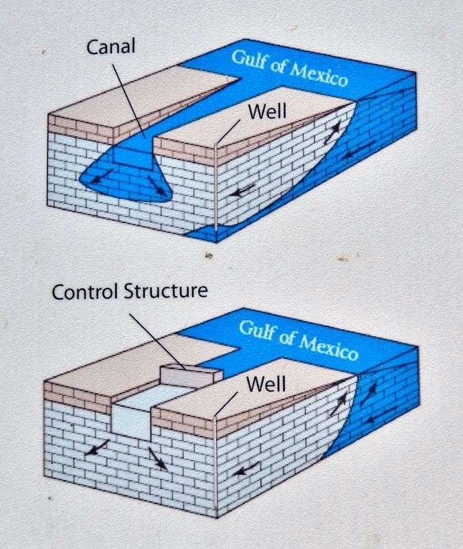
In 1942, congress approved a new, shallower canal that used locks to carry barges up and over groundwater reservoirs instead of cutting directly through them. The new canal lowered the risk of saltwater seeping into drinking water supplies. But by dividing the Withlacoochee and Ocklawaha rivers, the canal had enduring impacts on water and wildlife.
Erected by Florida State Parks.
Topics. This historical marker is listed in these topic lists: Environment • Parks & Recreational Areas • Waterways & Vessels.
Location. 29° 1.289′ N, 82° 38.239′ W. Marker is near Inglis, Florida, in Levy County. Marker can be reached from Canal Road (Spillway Road), 0.8 miles south of Florida Route 40, on the left when traveling west. Marker overlooks the bypass spillway near the intersection of the Withlacoochee River and the Cross Florida Barge Canal at the Inglis Bypass Recreation Area. Canal Road runs south from State Road 40 along the east margin of Inglis' Buddy Risher Park. Touch for map. Marker is at or near this postal address: 200 Spillway Road, Inglis FL 34449, United States of America. Touch for directions.
Other nearby markers. At least 8 other markers are within 9 miles of this marker, measured as the crow flies. Inglis Island Overlook (approx. 0.2 miles away); Inglis Lock (approx. 1.2 miles away); Felburn Park (approx. 1.3 miles away); Inglis Main Dam (approx. 1˝ miles away); Withlacoochee Bay Trail (approx. 6.2 miles away); Historic Crystal River Train Depot (approx. 8.7 miles away); Crystal Street Historic Oak Canopy (approx. 8.7 miles away); Kings Bay Park (approx. 9 miles away). Touch for a list and map of all markers in Inglis.
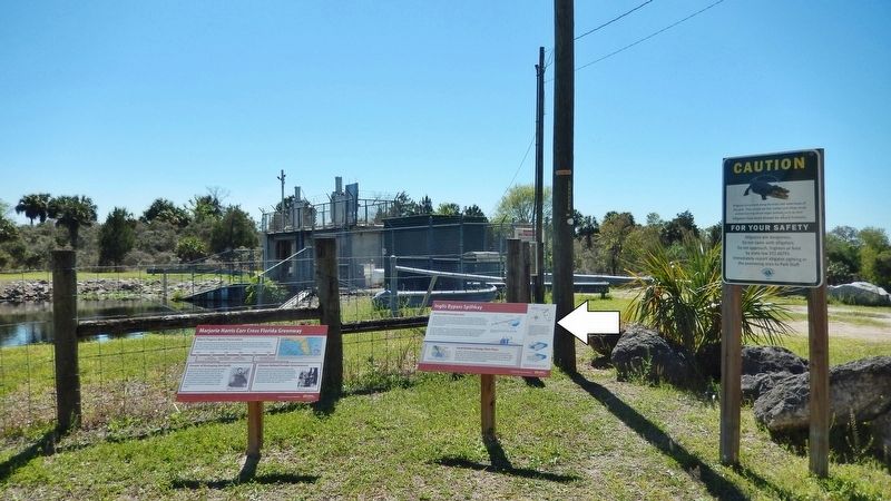
More about this marker. Adjacent marker, "Marjorie Harris Carr Cross Florida Greenway," is replicated at multiple locations along the greenway.
Related markers. Click here for a list of markers that are related to this marker. Marjorie Harris Carr Cross Florida Greenway
Also see . . .
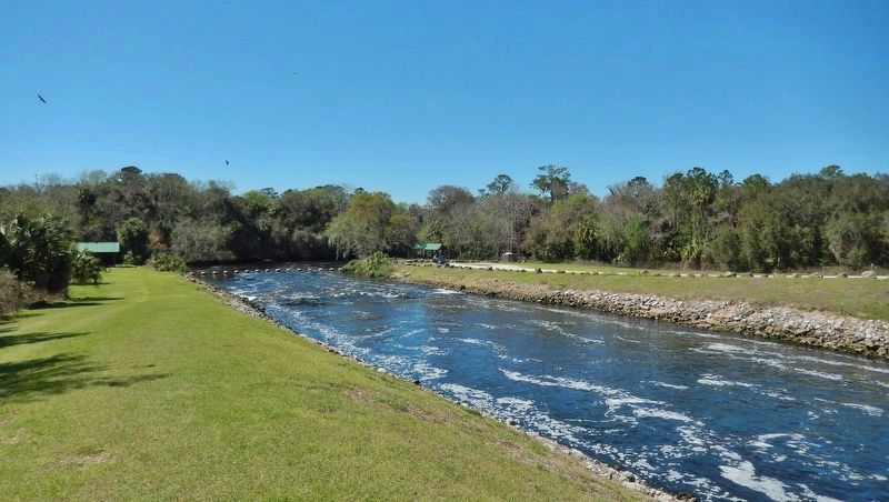
1. Inglis Bypass Recreation Area. The Bypass Canal and Spillway were constructed as an afterthought by the Army Corps of Engineers as part of the Cross Florida Barge Canal project. This happened after they bisected the original Withlacoochee River channel with the barge canal, thus impeding the freshwater flow that historically continued on to the Gulf. The Bypass Spillway feeds freshwater from Lake Rousseau into the lower Withlacoochee River, which flows downstream through the towns of Inglis and Yankeetown before entering the Gulf of Mexico. (Submitted on March 6, 2021, by Cosmos Mariner of Cape Canaveral, Florida.)
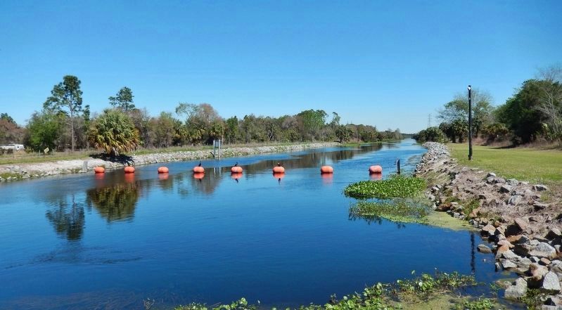
2. Inglis Bypass Recreation Area. Inglis Bypass is a manmade canal constructed to divert water from the Withlacoochee River as part of the Cross Florida Barge Canal — a failed public works project from many years ago. The bypass canal includes a spillway to regulate fresh water flow into the lower Withlacoochee. The original plan for the bypass included a lock to allow boat traffic along the canal. (Submitted on March 6, 2021, by Cosmos Mariner of Cape Canaveral, Florida.)
Photographed By U.S Army Corps of Engineers
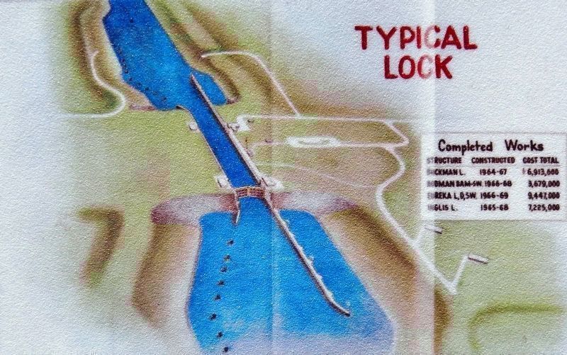
3. Marker detail: Typical Cross Florida Barge Canal Lock
A 1976 illustration shows a typical lock design on the Cross Florida Barge Canal.
Completed Works Buckman L. • 1964-67 • $6,913,000
Rodman Dam-5W • 1966-68 • $3,679,000
Eureka L, Dam-5W • 1966-69 • $9,447,000
Inglis L. • 1965-68 • $7,225,000
Rodman Dam-5W • 1966-68 • $3,679,000
Eureka L, Dam-5W • 1966-69 • $9,447,000
Inglis L. • 1965-68 • $7,225,000
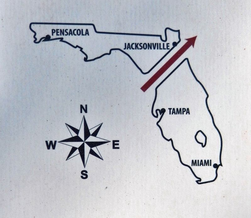
5. Marker detail: Marjorie Harris Carr Cross Florida Greenway
The Marjorie Harris Carr Cross Florida Greenway sits on land purchased in the 20th century for a shipping canal across the state. The prolonged political struggle over the canal shows how dreams of progress and preservation shaped Florida.
Credits. This page was last revised on March 7, 2021. It was originally submitted on March 3, 2021, by Cosmos Mariner of Cape Canaveral, Florida. This page has been viewed 663 times since then and 105 times this year. Photos: 1, 2, 3, 4, 5, 6, 7, 8, 9, 10. submitted on March 6, 2021, by Cosmos Mariner of Cape Canaveral, Florida.
