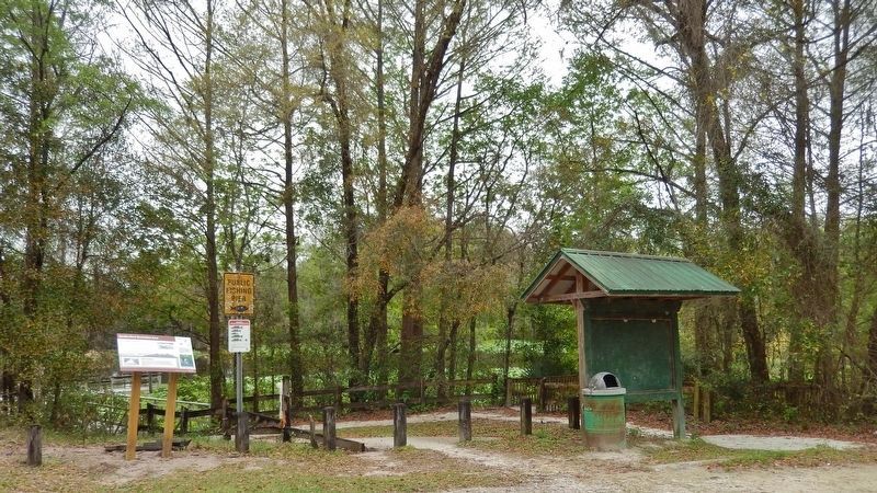
Near Fort McCoy in Marion County, Florida — The American South (South Atlantic)
Eureka West Recreation Area
Marjorie Harris Carr Cross Florida Greenway
History Hidden in the Trees
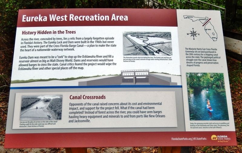
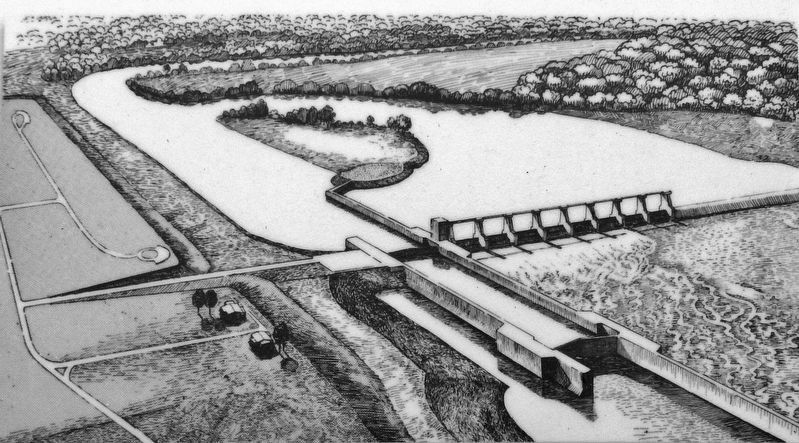
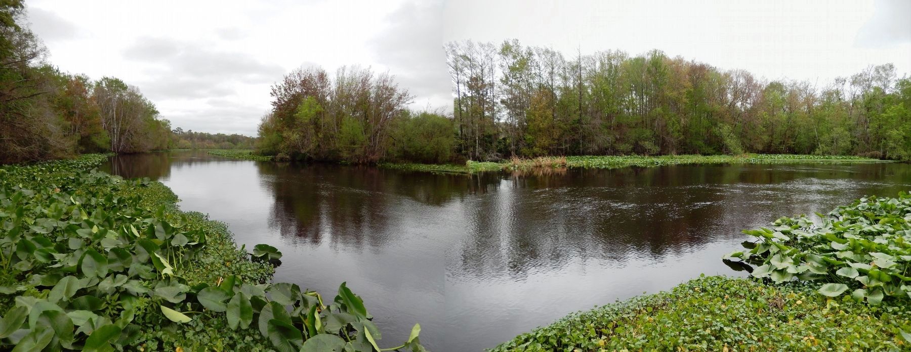
Across the river, concealed by trees, lies a relic from a largely forgotten episode in Florida's history. The Eureka Lock and Dam were built in the 1960s but never used. They were part of the Cross Florida Barge Canal — a plan to make the state the heart of a nationwide waterway network.
Eureka Dam was meant to be a "cork" to stop up the Ocklawaha River and fill a reservoir almost as big as Walt Disney World. Dams and reservoirs would have allowed barges to cross the state. Canal critics feared the project would wipe the Ocklawaha River and other special places off the map.
Canal Crossroads
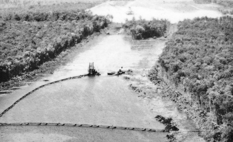
Opponents of the canal raised concerns about its cost and environmental impact, and support for the project fell. What if the canal had been completed? Instead of forest across the river, you could have seen barges hauling heavy equipment and minerals to and from ports like New Orleans and Jacksonville.
Erected by Florida State Parks.
Topics. This historical marker is listed in these topic lists: Environment • Parks & Recreational Areas • Waterways & Vessels.
Location. 29° 22.508′ N, 81° 54.138′ W. Marker is near Fort McCoy, Florida , in Marion County. Marker can be reached from Northeast 154th Street east of Northeast 152nd Court Road, on the left when traveling east. Marker is located near the Eureka West fishing pier, overlooking the Ocklawaha River, about 1/10 mile north of Northeast 154th Street. Touch for map. Marker is at or near this postal address: 15395 Northeast 154th Street, Fort Mc Coy FL 32134, United States of America. Touch for directions.
Other nearby markers. At least 8 other markers are within 15 miles of this marker, measured as the crow flies. William Bartram Trail (approx. 10.1 miles away); Kenwood Recreation Area (approx. 10½ miles away); Kirkpatrick Dam (approx. 10.9 miles away); Silver Springs Transportation Evolution (approx. 14.1 miles away); Silver Springs’ People (approx. 14.2 miles away); Postcards from the Past (approx. 14.2 miles away); Steamboats at the Spring (approx. 14.2 miles away); The Creature (approx. 14.2 miles away).
Regarding Eureka West Recreation Area. Google Maps satellite view clearly shows the abandoned Eureka lock and dam just to the east of this marker.
Related markers. Click here for a list of markers that are related to this marker. Marjorie Harris Carr Cross Florida Greenway
Also see . . .
1. Eureka, Florida LOCKed in Time: A Titanic Monument to a Mammoth Manmade Mistake. In 1971, all further completion and/or construction of the
2,200-foot long Eureka Lock structure was halted by President Richard M. Nixon. Nixon's order effectively ending any new work for the Cross Florida Barge Canal project is widely credited by most environmentalists as having saved some 25 river miles of the free and swift-flowing Silver River-Ocklawaha River system from impending destruction. The skeletal remains of Eureka Lock (along with the Eureka Spillway) are locked in a time warp of sorts sunken mostly intact into the bottom-lands of Florida's Ocklawaha River Valley. (Submitted on March 3, 2021, by Cosmos Mariner of Cape Canaveral, Florida.)
2. Eureka West Recreation Area. Eureka is the upper end of the backwater effect of the Rodman Reservoir and serves as an optimal location to explore the “Riverine” section of Rodman down to Payne’s Landing or as a final destination when paddling the Ocklawaha River upstream (south) of Eureka all the way back to Silver Springs State Park at State Route 40. (Submitted on March 3, 2021, by Cosmos Mariner of Cape Canaveral, Florida.)
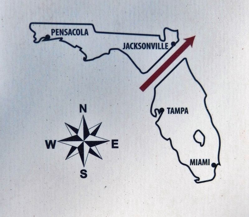
5. Marker detail: Marjorie Harris Carr Cross Florida Greenway
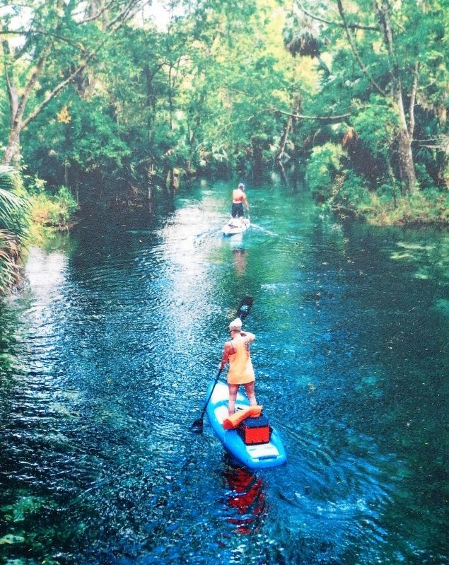
The Marjorie Harris Carr Cross Florida Greenway sits on land purchased in the 20th century for a shipping canal across the state. The prolonged political struggle over the canal shows how dreams of progress and preservation shaped Florida.
Credits. This page was last revised on March 7, 2021. It was originally submitted on March 3, 2021, by Cosmos Mariner of Cape Canaveral, Florida. This page has been viewed 464 times since then and 83 times this year. Photos: 1, 2, 3, 4, 5, 6, 7. submitted on March 3, 2021, by Cosmos Mariner of Cape Canaveral, Florida.
