Near Palatka in Putnam County, Florida — The American South (South Atlantic)
Buckman Lock North / Buckman Lock South
Marjorie Harris Carr Cross Florida Greenway
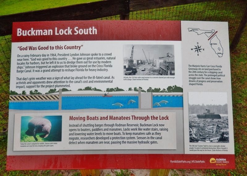
"God Was Good to this Country"
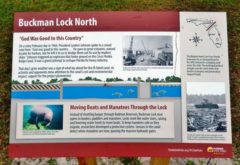
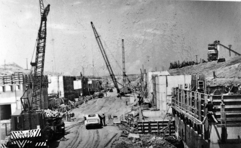
On a rainy February day in 1964, President Lyndon Johnson spoke to a crowd near here. "God was good to this country… He gave us great estuaries, natural locales for harbors, but he left it to us to dredge them out for use by modern ships." Johnson triggered an explosion that broke ground on the Cross Florida Barge Canal. It was a grand attempt to reshape Florida for heavy industry.
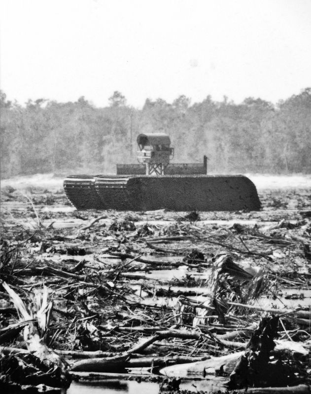
That day's grim weather was a sign of what lay ahead for the ill-fated canal. As activists and opponents drew attention to the canal's cost and environmental impact, support for the project plummeted.
Moving Boats and Manatees Through the Lock
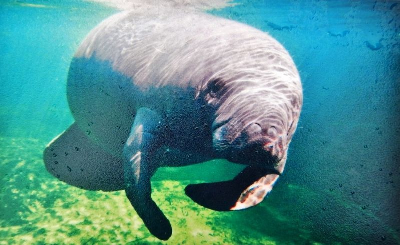
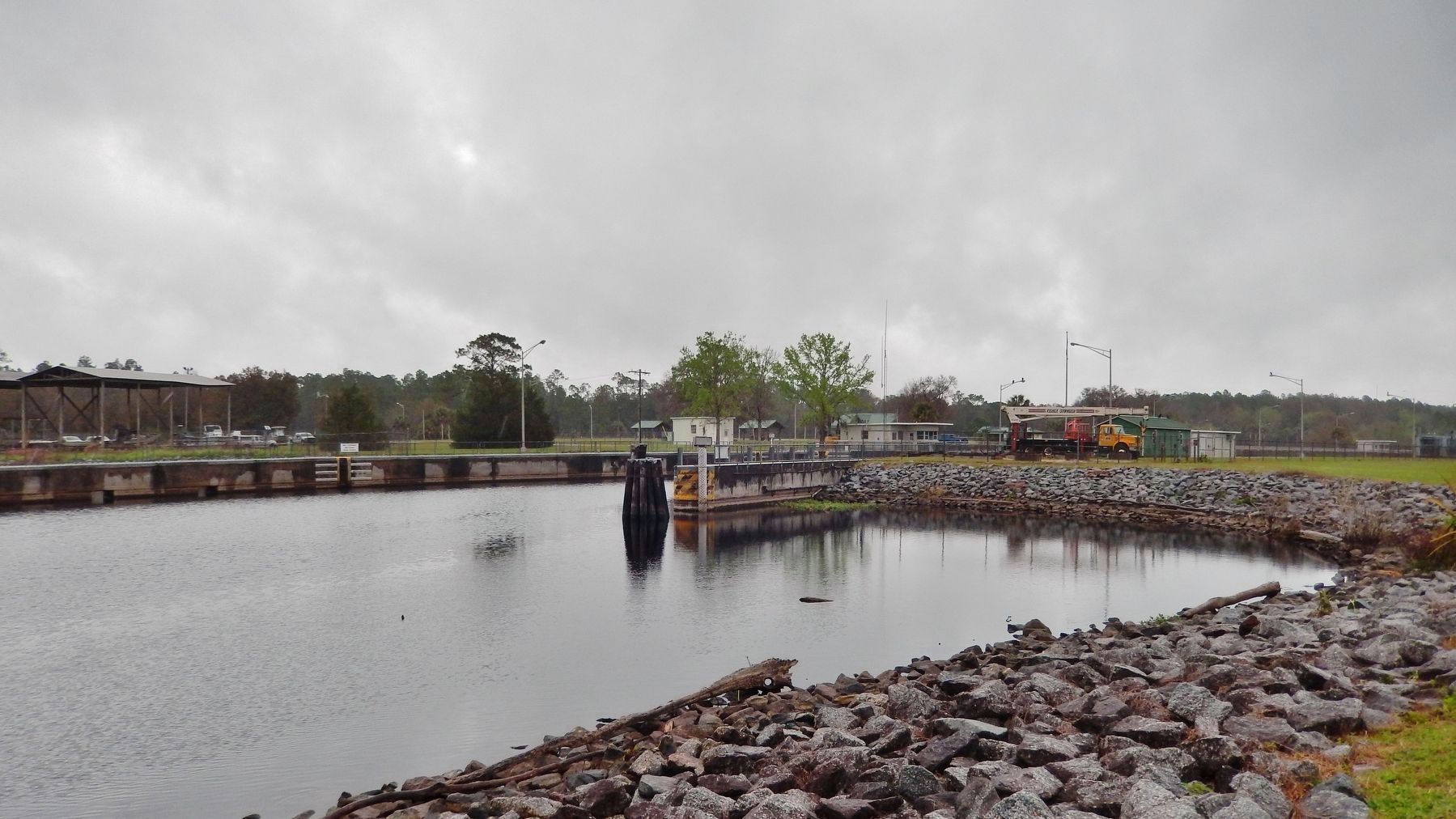
Instead of shuttling barges through Rodman Reservoir, Buckman Lock now opens to boaters, paddlers and manatees. Locks work like water stairs, raising and lowering water levels to move boats. To keep manatees safe as they migrate, researchers developed a protection system. Sensors in the canal detect when manatees are near, pausing the massive hydraulic gates.
Erected by Florida State Parks.
Topics and series. This historical marker is listed in these topic lists: Environment • Parks & Recreational Areas • Waterways & Vessels. In addition, it is included in the Former U.S. Presidents: #36 Lyndon B. Johnson series list.
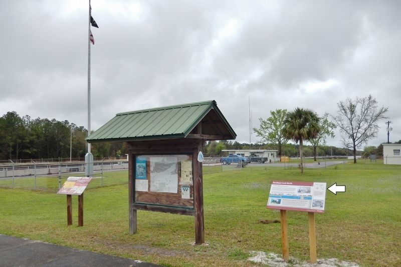
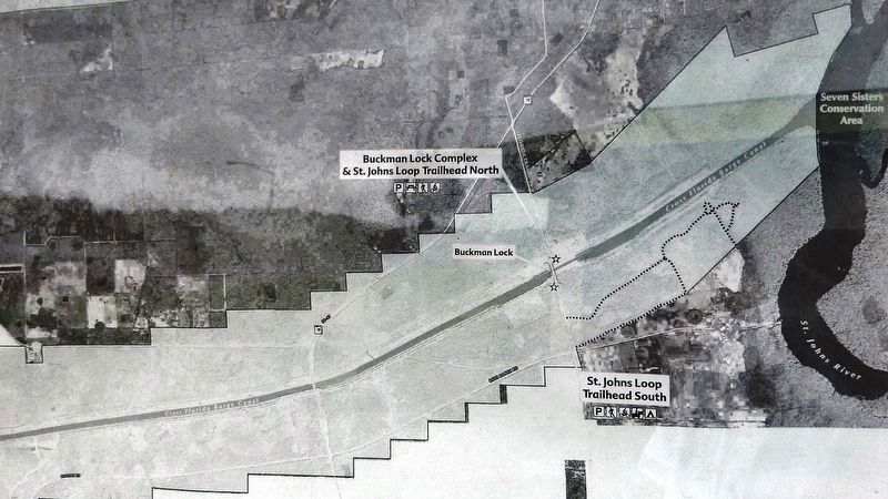
Location. 29° 32.786′ N, 81° 43.69′ W. Marker is near Palatka, Florida, in Putnam County. Marker can be reached from Buckman Lock Road, 0.9 miles south of Florida Route 19. Marker is located near the Visitor Center parking lot on the north side of the subject H.H. Buckman Lock. Touch for map. Marker is at or near this postal address: 200 Buckman Lock Road, Palatka FL 32177, United States of America. Touch for directions.
Other nearby markers. At least 8 other markers are within 8 miles of this marker, measured as the crow flies. Cross Florida Barge Canal Memorial (approx. one mile away); Battle At Horse Landing (approx. 1.4 miles away); Kirkpatrick Dam (approx. 5.3 miles away); Native Americans at the River (approx. 7.8 miles away); Suspension Bridges and Amphitheater (approx. 7.9 miles away); Ravine State Gardens (approx. 7.9 miles away); Palatka Waterworks (approx. 7.9 miles away); William Bartram Trail (approx. 7.9 miles away). Touch for a list and map of all markers in Palatka.
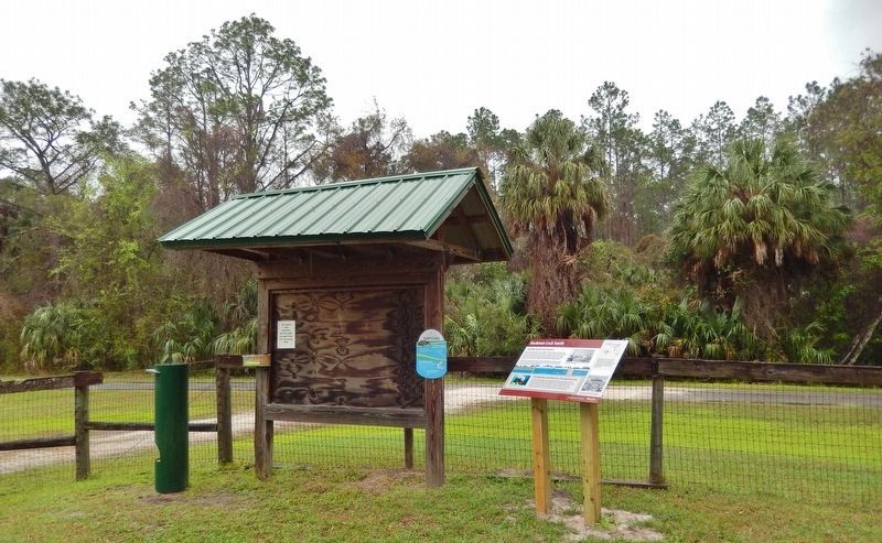
More about this marker. An identical marker, titled "Buckman Lock South," is located about 300 yards south of this one, at the St. Johns Trailhead on the south
side of the canal. It can be accessed from Boys Ranch Road, about 2 miles east of Florida Route 19.
Related markers. Click here for a list of markers that are related to this marker. Marjorie Harris Carr Cross Florida Greenway
Also see . . .
1. History of the Cross Florida Greenway. Had it been finished, the Cross Florida Barge Canal would have spanned Central Florida by linking a patchwork of rivers, artificial waterways and lakes. Heading a group called the Florida Defenders of the Environment, activist Marjorie Harris Carr appealed to President Richard Nixon and issued legal challenges to construction. Nixon stopped the project in 1971, ending a long-held but never-realized dream. (Submitted on March 7, 2021, by Cosmos Mariner of Cape Canaveral, Florida.)
2. Buckman Lock - St. Johns Loop North & South. The Lock was constructed during the mid to late 1960s as part of the former Cross Florida Barge Canal project. This project was deauthorized in 1992 by the U.S. government and the state of Florida when it was approximately one-third complete. (Submitted on March 7, 2021, by Cosmos Mariner of Cape Canaveral, Florida.)
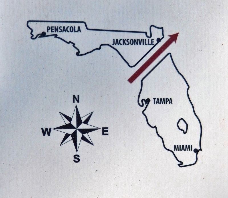
5. Marker detail: Marjorie Harris Carr Cross Florida Greenway
The Marjorie Harris Carr Cross Florida Greenway sits on land purchased in the 20th century for a shipping canal across the state. The prolonged political struggle over the canal shows how dreams of progress and preservation shaped Florida.
Credits. This page was last revised on March 7, 2021. It was originally submitted on March 3, 2021, by Cosmos Mariner of Cape Canaveral, Florida. This page has been viewed 392 times since then and 52 times this year. Photos: 1, 2, 3, 4, 5, 6, 7, 8, 9, 10. submitted on March 7, 2021, by Cosmos Mariner of Cape Canaveral, Florida.
