Near Ocala in Marion County, Florida — The American South (South Atlantic)
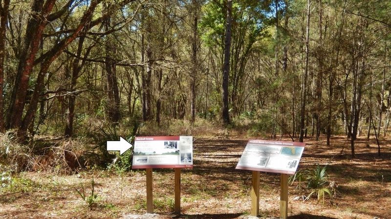
Marshall Swamp
Marjorie Harris Carr Cross Florida Greenway
Imagine This Spot Underwater
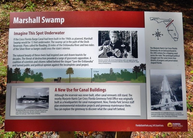
If the Cross Florida Barge Canal had been built in the 1960s as planned, Marshall Swamp would be 13 feet underwater. The swamp sat in the path of the Dosh Reservoir. Plans called for flooding 20 miles of the Ocklawaha River and two miles of the Silver River so barges could cross the state's interior.
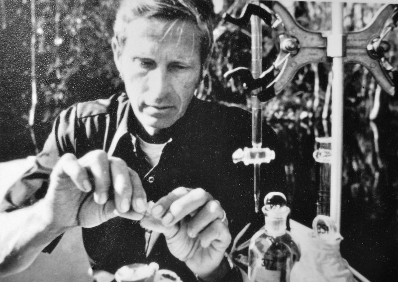
The natural beauty of these rivers had inspired awe and drawn tourists for decades. The threat of destruction provoked a surge of grassroots opposition. A coalition of scientists and citizens rallied behind the slogan "Save the Ocklawaha" and turned public and political opinion against the incomplete canal project.
A New Use for Canal Buildings
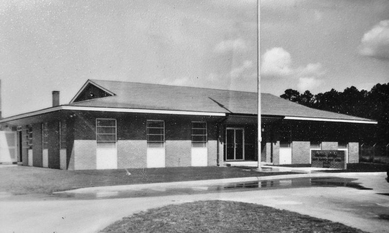
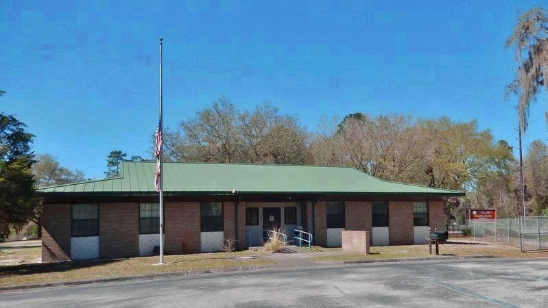
Although the reservoir was never built, other canal remnants still stand. The nearby Marjorie Harris Carr Cross Florida Greenway Field Office was originally built as a headquarters for canal management. Now, Florida Park Service staff plan environmental restoration projects and greenway maintenance there. You can explore the greenway to discover what the canal left behind.
Erected by Florida State Parks.
Topics. This historical marker is listed in these topic lists: Environment • Parks & Recreational Areas • Waterways & Vessels.
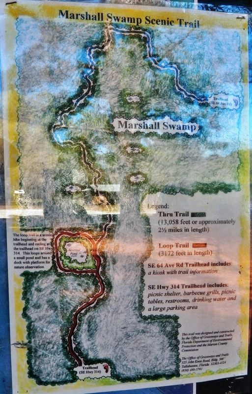
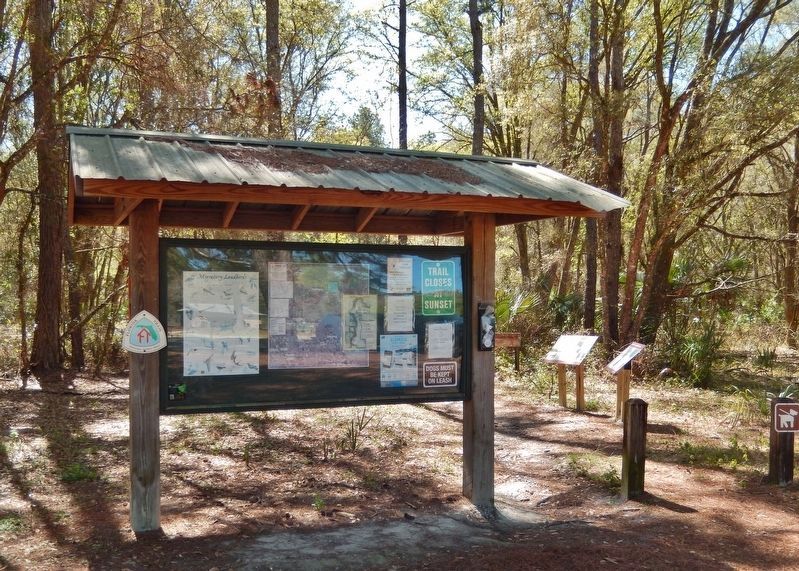
Location. 29° 11.015′ N, 82° 0.969′ W. Marker is near Ocala, Florida, in Marion County. Marker can be reached from County Road 314, 4 miles south of State Route 19, on the left when traveling west. Marker is located at the Marshall Swamp Trailhead. Touch for map. Marker is at or near this postal address: 8400 Southeast Highway 314, Ocala FL 34470, United States of America. Touch for directions.
Other nearby markers. At least 8 other markers are within 4 miles of this marker, measured as the crow flies. Silver Springs Transportation Evolution (approx. 3 miles away); Steamboats at the Spring (approx. 3.1 miles away); Osceola (approx. 3.1 miles away); Silver Springs Paradise Park (approx. 3.1 miles away); Ross Allen (approx. 3.1 miles away); Bruce Mozert (approx. 3.2 miles away); Florida’s Roadside Attractions (approx. 3.2 miles away); Florida’s Springs: Our Precious Resource (approx. 3.2 miles away).
More about this marker. Adjacent marker, "Marjorie Harris Carr Cross Florida Greenway," is replicated at multiple locations along the greenway.
Related markers. Click here for a list of markers that are related to this marker. Marjorie Harris Carr Cross Florida Greenway
Also see . . .
1. Marjorie Harris Carr Cross Florida Greenway. One of the nation's largest incomplete public works projects has been transformed into the diverse
Cross Florida Greenway, spanning Central Florida from the Gulf of Mexico to the St. Johns River. (Submitted on March 7, 2021, by Cosmos Mariner of Cape Canaveral, Florida.)
2. Marshall Swamp Wildlife Management Area. The site features an impoundment that was created on the area in the 1950s, when dikes and water control structures were installed on the Dead River, a tributary of the Oklawaha. The impoundment later became part of the Cross Florida Barge Canal project, which was decommissioned in 1971. In 1993, the impoundment and surrounding swamp were incorporated into the newly established Cross Florida Greenway. (Submitted on March 7, 2021, by Cosmos Mariner of Cape Canaveral, Florida.)
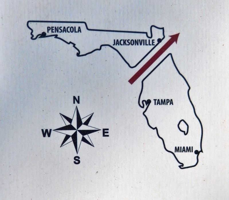
5. Marker detail: Marjorie Harris Carr Cross Florida Greenway
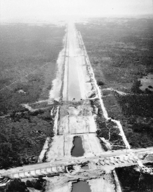
The Marjorie Harris Carr Cross Florida Greenway sits on land purchased in the 20th century for a shipping canal across the state. The prolonged political struggle over the canal shows how dreams of progress and preservation shaped Florida.
Photographed By Cosmos Mariner, March 4, 2021
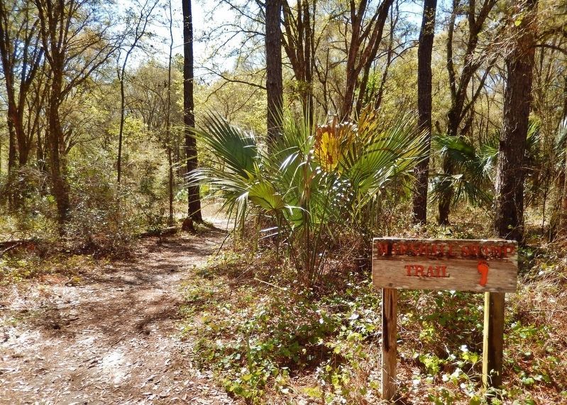
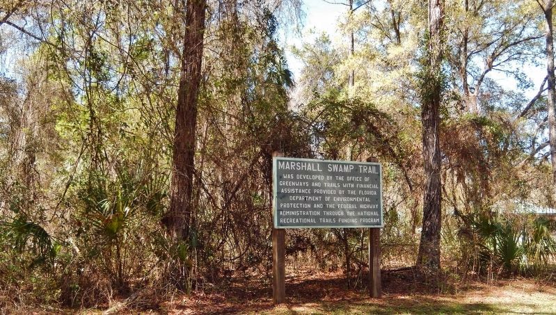
8. Marshall Swamp Trail Marker
Marshall Swamp Trail was developed by the Office of Greenways and Trails with financial assistance provided by the Florida Department of Environmental Protection and the Federal Highway Administration through the National Recreational Trails Funding Program.
Credits. This page was last revised on March 7, 2021. It was originally submitted on March 3, 2021, by Cosmos Mariner of Cape Canaveral, Florida. This page has been viewed 374 times since then and 48 times this year. Photos: 1, 2, 3, 4, 5, 6, 7, 8, 9, 10, 11. submitted on March 7, 2021, by Cosmos Mariner of Cape Canaveral, Florida.
