Columbia in Lancaster County, Pennsylvania — The American Northeast (Mid-Atlantic)
Columbia
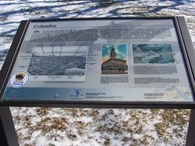
Photographed by Beverly Pfingsten, February 24, 2008
1. Columbia Marker
this page online
Photo inserts
1. Map of Columbia
2. Photo of Columbia Opera House
In 1875 Columbia opened its new three-story Opera House containing an auditorium seating over 900, offices, shops and Council chambers and topped with the town clock. In 1947 fire destroyed the building, but the community rebuilt it and the clock, dedicating the resulting one-story building as the Borough offices.
3. Burning of the Bridge
The sun was just setting on June 28, 1863 when Confederate Brigadier General John B. Gordon and his men were closing in on their objective - the one and one-quarter mile-long, covered Columbia-Wrightsville Bridge. as the first Rebels charged into the cool shadows of the bridge's first span, four explosions soon halted them. Colonel Jacob G. Frick and his 650 men had been ordered by Major General Darius N. Couch to protect the bridge. As the Confederates closed in, local militia attempted to blow up several spans of the bridge to keep them from crossing. When this proved unsuccessful, a fire was set which
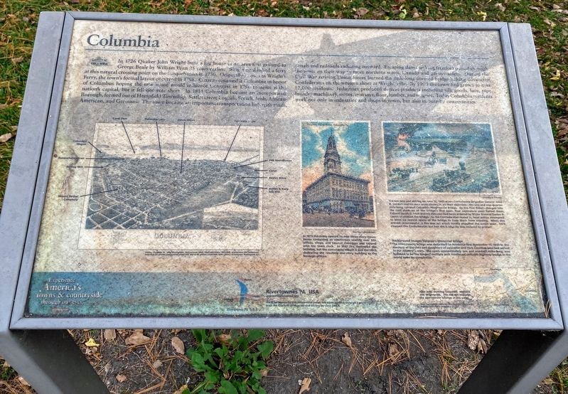
Photographed by Shane Oliver, October 24, 2020
2. Columbia Marker
Marker is significantly weathered and partially unreadable.
4. Background Image: Veteran's Memorial Bridge
The inter-county bridge was dedicated on Armistice Day, November 11, 1930 to the memory of the sons and daughters of Lancaster and York Counties who had served in our country' wars. The span, approximately one and one-half miles long, was believed to be the longest multiple arch reinforced concrete highway bridge in the world upon its completion.
5. Area map showing Columbia, Marietta and Wrightsville. The red dot indicates the approximate location of this panel.
Erected by Rivertownes PA USA.
Topics. This historical marker is listed in these topic lists: Bridges & Viaducts • Colonial Era • Waterways & Vessels. A significant historical month for this entry is June 1913.
Location. 40° 1.958′ N, 76° 30.384′ W. Marker is in Columbia, Pennsylvania, in Lancaster County. It is on Chestnut Street (Pennsylvania Route 462) west of North 2nd Street, on the right when traveling east. Marker is at the east end of the Veterans Memorial Bridge just as you enter Columbia from Wrightsville. Touch for map. Marker is at or near this postal address: 190 Chestnut Street, Columbia PA 17512, United States of America. Touch for directions.

Regionally, this marker is in South-Central Pennsylvania, specifically in Pennsylvania Dutch Country, and in the Susquehanna Valley. It is also in the American Northeast and in the Mid-Atlantic. Globally, it is in North America, the Western Hemisphere, the Western World, and the Anglosphere. Historically, it finds itself in what was once the Haudenosaunee (Iroquois) Confederacy and also one of the original Thirteen Colonies.
Other nearby markers. At least 8 other markers are within walking distance of this marker: Railroads During the Civil War (here, next to this marker); a different marker also named Columbia (within shouting distance of this marker); Lincoln Highway (within shouting distance of this marker); Lloyd Mifflin House (about 400 feet away, measured in a direct line); John Houston Mifflin Homestead (about 400 feet away); Shannon Armory (about 500 feet away); Pennsylvania Railroad Passenger Station (about 700 feet away); First English Evangelical Church (about 700 feet away). Touch for a list and map of all markers in Columbia.
Credits. This page was last revised on June 22, 2021. It was originally submitted on February 25, 2008, by Bill Pfingsten of Bel Air, Maryland. This page has been viewed 3,150 times since then and 40 times this year. Last updated on March 3, 2021, by Carl Gordon Moore Jr. of North East, Maryland. Photos: 1. submitted on February 25, 2008, by Bill Pfingsten of Bel Air, Maryland. 2. submitted on June 10, 2021, by Shane Oliver of Richmond, Virginia. • J. Makali Bruton was the editor who published this page.
