Columbia in Lancaster County, Pennsylvania — The American Northeast (Mid-Atlantic)
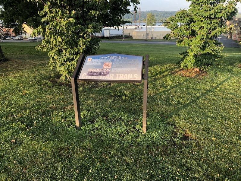
Railroads During the Civil War
Rivertowns
— Civil War Trails —
Columbia's strategic position would have made it a fine prize for an invading Southern army bent on disrupting vital communications and supply lines in the North. Railroads connected Columbia with Philadelphia, York, and Harrisburg, and canal transportation linked the community with both the Chesapeake Bay and the interior of Pennsylvania.
The Pennsylvania Railroad had three routes radiating from Columbia during the Civil War. The first came from Lancaster after originating in Philadelphia. This was part of a combined railroad-canal system running from Philadelphia to Pittsburgh. The second route crossed over the mile-long covered bridge across the Susquehanna River to Wrightsville on its way to York. The bridge was torched on June 28, 1863 to prevent the Confederate from crossing into Lancaster County and on to Harrisburg and possibly Philadelphia. The last branch ran adjacent to the Susquehanna River from Middletown to Columbia.
Often overlooked, a gesture of human kindness occurred in Columbia during the war. A train load of Confederate prisoners, enroute to a Federal prison camp in New Jersey, was delayed in Columbia for several hours. The women of the town brought food and clean clothing to the train to help relieve the suffering Southern soldiers.
Erected by Pennsylvania Civil War Trails.
Topics and series. This historical marker is listed in these topic lists: Bridges & Viaducts • Railroads & Streetcars • War, US Civil • Waterways & Vessels. In addition, it is included in the Pennsylvania Civil War Trails, and the Pennsylvania Railroad (PRR) series lists. A significant historical date for this entry is June 28, 1863.
Location. 40° 1.957′ N, 76° 30.381′ W. Marker is in Columbia, Pennsylvania, in Lancaster County. Marker is on Chestnut Street (Pennsylvania Route 462) south of North 2nd Street, on the right when traveling south. Touch for map. Marker is at or near this postal address: 151 Commerce Street, Columbia PA 17512, United States of America. Touch for directions.
Other nearby markers. At least 8 other markers are within walking distance of this marker. Columbia (here, next to this marker); a different marker also named Columbia (within shouting distance of this marker); Lincoln Highway (within shouting distance of this marker); Lloyd Mifflin House (about 400 feet away, measured in a direct line); John Houston Mifflin Homestead (about 400 feet away); Shannon Armory (about 500 feet away); Pennsylvania Railroad Passenger Station (about 600 feet away); First English Evangelical Church (about 700 feet away). Touch for a list and map of all markers in Columbia.
Credits. This page was last revised on March 4, 2021. It was originally submitted on July 7, 2019, by Devry Becker Jones of Washington, District of Columbia. This page has been viewed 444 times since then and 52 times this year. Last updated on March 4, 2021, by Carl Gordon Moore Jr. of North East, Maryland. Photos: 1, 2. submitted on July 7, 2019, by Devry Becker Jones of Washington, District of Columbia.

