Elm Springs in Washington County, Arkansas — The American South (West South Central)
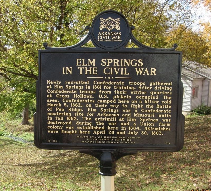
Elm Springs in the Civil War
Erected 2015 by Arkansas Civil War Sesquicentennial Commission, Historical Society of Elm Springs, Arkansas Historic Preservation Program. (Marker Number 134.)
Topics and series. This historical marker is listed in these topic lists: Agriculture • War, US Civil. In addition, it is included in the Arkansas Civil War Sesquicentennial Commission series list. A significant historical date for this entry is March 5, 1862.
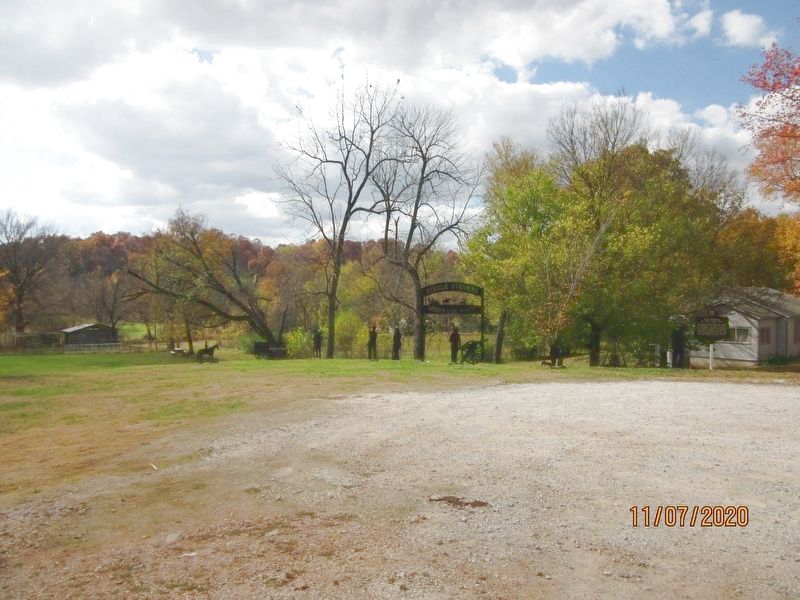
Location. 36° 12.39′ N, 94° 14.13′ W. Marker is in Elm Springs, Arkansas, in Washington County. Marker is on Water Avenue west of South Elm Street (State Highway 112), on the left when traveling west. Located at the west side of Steele-Stevens Heritage Park. Touch for map. Marker is at or near this postal address: 106 Water Ave, Elm Springs AR 72728, United States of America. Touch for directions.
Other nearby markers. At least 8 other markers are within 6 miles of this marker, measured as the crow flies. Elm Springs (within shouting distance of this marker); Elm Springs Cemetery (approx. 0.3 miles away); Mt. Hebron Church and Cemetery (approx. 5.3 miles away); Wartime Gristmill Destruction (approx. 5.7 miles away); Old Mill Road/Mill Street (approx. 6 miles away); Holcomb's Spring in the Civil War (approx. 6 miles away); Shiloh Memorial Park (approx. 6 miles away); Regular Baptist Church of Shilo (approx. 6 miles away). Touch for a list and map of all markers in Elm Springs.
Credits. This page was last revised on March 11, 2021. It was originally submitted on March 4, 2021, by Jason Armstrong of Talihina, Oklahoma. This page has been viewed 315 times since then and 49 times this year. Photos: 1, 2. submitted on March 4, 2021, by Jason Armstrong of Talihina, Oklahoma. • Bernard Fisher was the editor who published this page.

