Point of Rocks in Frederick County, Maryland — The American Northeast (Mid-Atlantic)
Point of Rocks
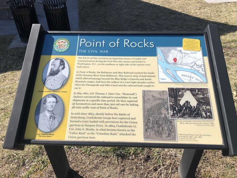
The B&O rail line served as an important means of supply and communication during the Civil War (the station and tracks to Washington, D.C., on the southern or right side of the station were built later).
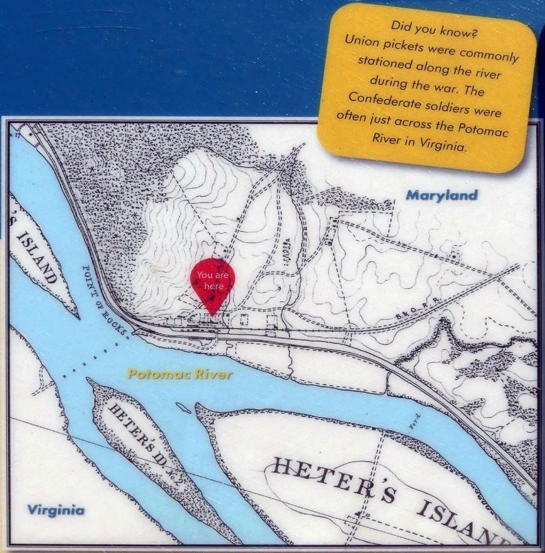
At Point of Rocks, the Baltimore & Ohio Railroad reached the banks of the Potomac River from Baltimore. This narrow strip of bottomland, which allowed passage beyond the Blue Ridge's Catoctin and South Mountain ranges, had been the subject of a court fight decades earlier when the Chesapeake and Ohio Canal and the railroad both sought to use it.
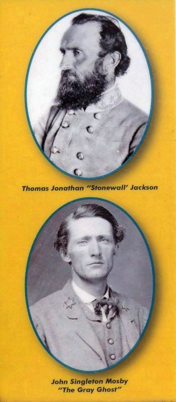
In May 1861, Col. Thomas J. (later Gen. "Stonewall") Jackson convinced the railroad to consolidate its coal shipments at a specific time period. He then captured 56 locomotives and more than 300 rail cars by halting all train traffic west of Point of Rocks.
In mid-June 1863, shortly before the Battle of Gettysburg, Confederate troops here captured and burned a train loaded with provisions for the Union garrison at Harpers Ferry. In 1864, Confederate Lt. Col. John S. Mosby, in what became known as the "Calico Raid" or the Crinoline Raid," attacked the Union garrison here.
[Sidebar:]
Did you know?
Union pickets were commonly stationed along the river during the war. The Confederate soldiers were often just across the Potomac River in Virginia.
Topics and series. This historical marker is listed in these topic lists: Railroads & Streetcars • War, US Civil • Waterways & Vessels. In addition, it is included in the Baltimore and Ohio Railroad (B&O), and the Chesapeake and Ohio (C&O) Canal series lists. A significant historical month for this entry is May 1861.
Location. 39° 16.469′ N, 77° 32.445′ W. Marker is in Point of Rocks, Maryland, in Frederick County. Marker is at the intersection of Commerce Street and Clay Street (Maryland Route 28), on the right when traveling north on Commerce Street. Touch for map. Marker is at or near this postal address: 3704 Commerce St, Point of Rocks MD 21777, United States of America. Touch for directions.
Other nearby markers. At least 8 other markers are within walking distance of this marker. A different marker also named Point of Rocks (within shouting distance of this marker); a different marker also named Point of Rocks (within shouting distance of this marker); a different marker also named Point of Rocks (about 400 feet away, measured in a direct line); a different marker also named Point of Rocks (about 500 feet away); a different marker also named Point of Rocks (about 500 feet away); a different marker also named Point of Rocks (about 600 feet away); Battle at Point of Rocks
Credits. This page was last revised on September 21, 2021. It was originally submitted on March 6, 2021, by Devry Becker Jones of Washington, District of Columbia. This page has been viewed 193 times since then and 15 times this year. Photos: 1, 2. submitted on March 6, 2021, by Devry Becker Jones of Washington, District of Columbia. 3, 4, 5. submitted on September 10, 2021, by Allen C. Browne of Silver Spring, Maryland.
