South Side in Billings in Yellowstone County, Montana — The American West (Mountains)
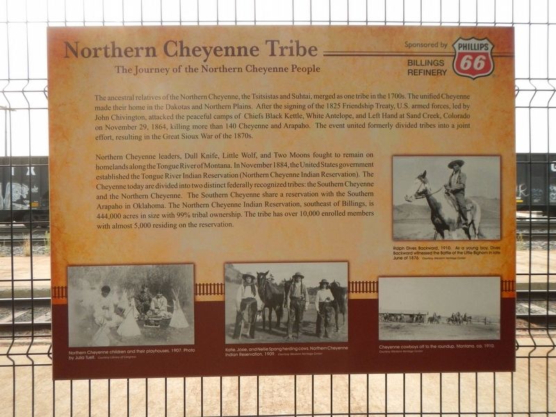
Northern Cheyenne Tribe
The Journey of the Northern Cheyenne People

Photographed By Barry Swackhamer, September 15, 2020
1. Northern Cheyenne Tribe Marker
Captions: (middle right) Ralph Dives Backward, 1910. As a young boy, Dives Backward witnessed the Battle of the Little Bighorn in late June of 1876.; (bottom left) Northern Cheyenne children and their playhouses, 1907.; (bottom center) Katie, Josie, and Nellie Spang heading cows, Northern Cheyenne Indian Reservation, 1909.; (bottom right) Cheyenne cowboys off to the roundup, Montana, ca. 1910.
Northern Cheyenne leaders, Dull Knife, Little Wolf, and Two Moons fought to remain on homelands along the Tongue River of Montana. In November 1884, the United States government established the Tongue River Indian Reservation (Northern Cheyenne Indian Reservation). The Cheyenne today are divided into two distinct federally recognized tribes; the Southern Cheyenne and the Northern Cheyenne. The Southern Cheyenne share a reservation with the Southern Arapaho in Oklahoma. The Northern Cheyenne Indian Reservation, southeast of Billings, is 444,000 acres in size with 99% tribal ownership. The tribe has over 10,000 enrolled members with almost 5,000 residing on the reservation.
Topics. This historical marker is listed in these topic lists: Native Americans • Wars, US Indian. A significant historical date for this entry is November 29, 1864.
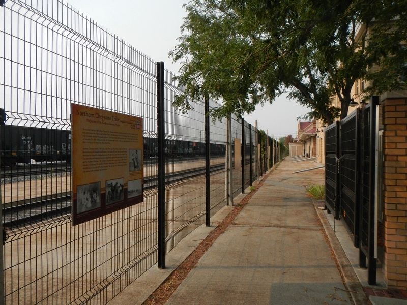
Location. 45° 47.048′ N, 108° 29.884′ W. Marker is in Billings, Montana, in Yellowstone County. It is in the South Side. Marker is on Montana Avenue (Business Interstate 90) near North 23rd Street. The marker is found on the fence paralleling the railroad tracks. Touch for map. Marker is at or near this postal address: 2300 Montana Avenue, Billings MT 59101, United States of America. Touch for directions.
Other nearby markers. At least 8 other markers are within walking distance of this marker. How Billings Got Its News (here, next to this marker); The Yellowstone River (here, next to this marker); Steamboat City on the River (here, next to this marker); Billings: The Father and the Son (here, next to this marker); Billings' Chinatown (a few steps from this marker); Battle of the Little Bighorn (a few steps from this marker); The Fight or Flight of the Nez Perce (within shouting distance of this marker); Children of the Large-Beaked Bird (within shouting distance of this marker). Touch for a list and map of all markers in Billings.
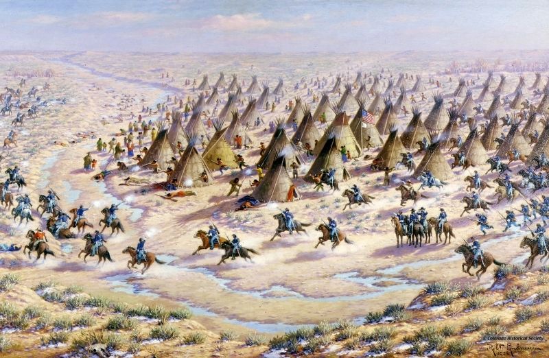
Also see . . . Sand Creek Massacre -- ThoughCo. The Sand Creek Massacre was a violent incident in late 1864 in which volunteer cavalry soldiers, commanded by a fanatical hater of Native Americans, rode up to a camp and murdered more than 150 Cheyennes who had been assured of their safety. (Submitted on March 7, 2021, by Barry Swackhamer of Brentwood, California.)
Credits. This page was last revised on February 16, 2023. It was originally submitted on March 7, 2021, by Barry Swackhamer of Brentwood, California. This page has been viewed 188 times since then and 10 times this year. Photos: 1, 2, 3. submitted on March 7, 2021, by Barry Swackhamer of Brentwood, California.

