Near Fallon in Churchill County, Nevada — The American Mountains (Southwest)
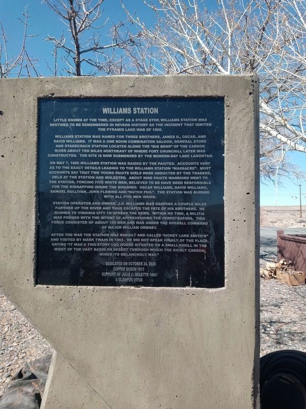
Williams Station
Little known at the time, except as a stage stop, Williams Station was destined to be remembered in Nevada history as the incident that ignited the Pyramid Lake War of 1860.
Williams Station was named for three brothers, James O., Oscar, and David Williams. It was a one room combination saloon, general store and stagecoach station located along the "Big Bend” of the Carson River about ten miles northeast of where Fort Churchill later was constructed. The site is now submerged by the modern-day Lake Lahontan.
On May 7, 1860 Williams Station was raided by the Paiutes. Accounts vary as to the exact details leading to the Williams Station "Massacre". Most accounts say that two young Paiute girls were abducted by the traders, held at the station and molested. About nine Paiute warriors went to the station, forcing five white men, believed to be have been responsible for the kidnapping inside the building: Oscar Williams, David Williams, Samuel Sullivan, John Fleming and "Dutch Phil". The station was burned with all five men inside.
Station operator and owner, J.O. Williams was camping a couple miles further up the river and thus escaped the fate of his brothers. He rushed to Virginia City to spread the news. Within no time, a militia was formed with the intent of apprehending the perpetrators. This force consisted of about 105 men and was under the overall command of Major William Ormsby.
After the war the station was rebuilt and called "Honey Lake Smith's" and visited by Mark Twain in 1861. He did not speak highly of the place, saying "it was a two-story log house situated on a small knoll in the midst of the vast basin or desert through which the sickly Carson winds its melancholy way."
Dedicated on Cctober 24, 2020
Copper Queen 1915
Outpost of Julia C. Bulette 1864
E Clampus Vitus
Erected 2021 by Copper Queen 1915 Outpost of Julia C. Bulette 1864, E Clampus Vitus.
Topics and series. This historical marker is listed in these topic lists: Industry & Commerce • Native Americans • Wars, US Indian. In addition, it is included in the E Clampus Vitus series list. A significant historical year for this entry is 1860.
Location. 39° 26.725′ N, 119° 5.396′ W. Marker is near Fallon, Nevada, in Churchill County. Marker is on U.S. 50, on the right when traveling east. The marker is near the North Shore boat ramp. Touch for map. Marker is in this post office area: Fallon NV 89406, United States of America. Touch for directions.
Other nearby markers. At least 8 other markers are within 14 miles of this marker, measured as the crow flies. Lahontan Dam (approx. 1.8 miles away); Carson Trail - Junction Wagon & Pack Routes (approx. 6˝ miles away); Hazen (approx. 8˝ miles away); Ragtown (approx. 10 miles away); Carson Trail - Ragtown (approx. 10.2 miles away); Stockton Well (approx. 10.4 miles away); America's First Transcontinental Highway (approx. 12˝ miles away); Bucklands Station Famous Historical Point (approx. 13˝ miles away). Touch for a list and map of all markers in Fallon.
Credits. This page was last revised on March 16, 2021. It was originally submitted on March 13, 2021, by Lance C Johnson of Sun Valley, Nevada. This page has been viewed 662 times since then and 120 times this year. Photo 1. submitted on March 13, 2021, by Lance C Johnson of Sun Valley, Nevada. • J. Makali Bruton was the editor who published this page.
Editor’s want-list for this marker. A wide view photo of the marker and the surrounding area together in context. • Can you help?
