Toluca, Mexico State, Mexico — The Central Highlands (North America)
Toluca
Photographed by J. Makali Bruton, March 15, 2021
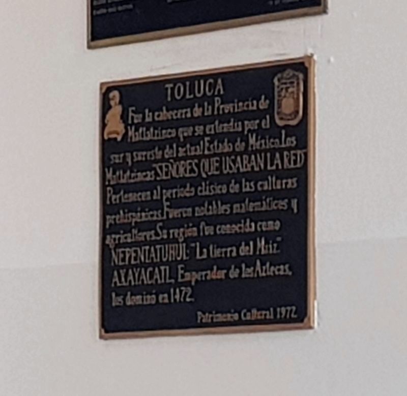
1. Toluca Marker
Restrictions in place at the time of this photo did not permit a clearer image.

Fue la cabecera de la Provincia de Matlatzinco que se extendía por el sur y sureste del actual Estado de México. Los Matlatzincas “Señores que usaban la red” Pertenecen al period clásico de las culturas prehispánicas. Fueron notables matemáticos y agricultores. Su region fue conocida como Nepentatuhui: “La tierra del Maiz.” Axayacatl, Emperador de los Aztecas, los dominó en 1472.
Patrimonio Cultural 1977.
Toluca
It was the capital of the Province of Matlatzinco that stretched throughout the south and southeast of the present State of Mexico. The Matlatzincas, "Lords who used the nets", belonged to the Classical period of pre-Hispanic cultures. They were notable mathematicians and farmers. Their region was known as Nepentatuhui: "The Land of Corn." Axayacatl, Emperor of the Aztecs, dominated them in 1472.
Cultural Heritage 1977.
Erected 1977 by Patrimonio Cultural.
Topics. This historical marker is listed in these topic lists: Anthropology & Archaeology • Indigenous Peoples and Communities. A significant historical year for this entry is 1472.
Location. 19° 17.513′ N, 99° 39.399′ W.
this page online

Regionally, this marker is in Central Mexico and specifically in Mexico City Metropolitan Area. Globally, it is in North America, specifically in Mesoamerica, on the Ring of Fire, and in the Western Hemisphere. Historically, it finds itself in what was once New Spain, a Spanish colony, and the Aztec Empire.
Other nearby markers. At least 8 other markers are within walking distance of this marker: A different marker also named Toluca (here, next to this marker); a different marker also named Toluca (a few steps from this marker); Toluca as the Capital of the State of Mexico (a few steps from this marker); Church of la Santa Veracruz (within shouting distance of this marker); Francisco Modesto de Olaguibel (within shouting distance of this marker); Manuel de Olaguibel (within shouting distance of this marker); Temple of the Santa Veracruz (about 90 meters away, measured
Photographed by J. Makali Bruton, March 15, 2021
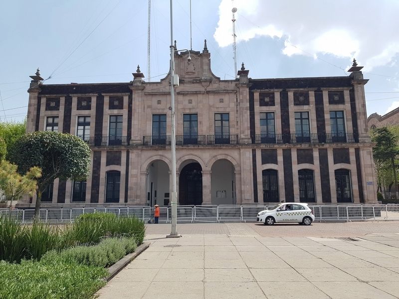
2. Toluca Marker
The marker is one of many in the entryway of the Toluca City Hall (Ayuntamiento de Toluca).
Also see . . . Toluca at Wikipedia. (Submitted on March 20, 2021, by J. Makali Bruton of Washington, District of Columbia.)
Credits. This page was last revised on March 20, 2021. It was originally submitted on March 20, 2021, by J. Makali Bruton of Washington, District of Columbia. This page has been viewed 148 times since then and 13 times this year. Photos: 1, 2. submitted on March 20, 2021, by J. Makali Bruton of Washington, District of Columbia.
