St. Charles in St. Charles County, Missouri — The American Midwest (Upper Plains)
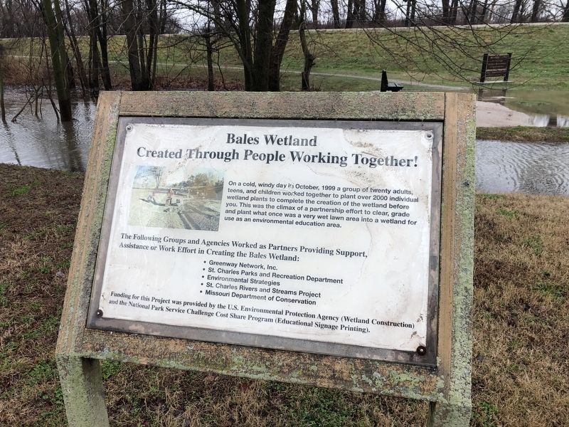
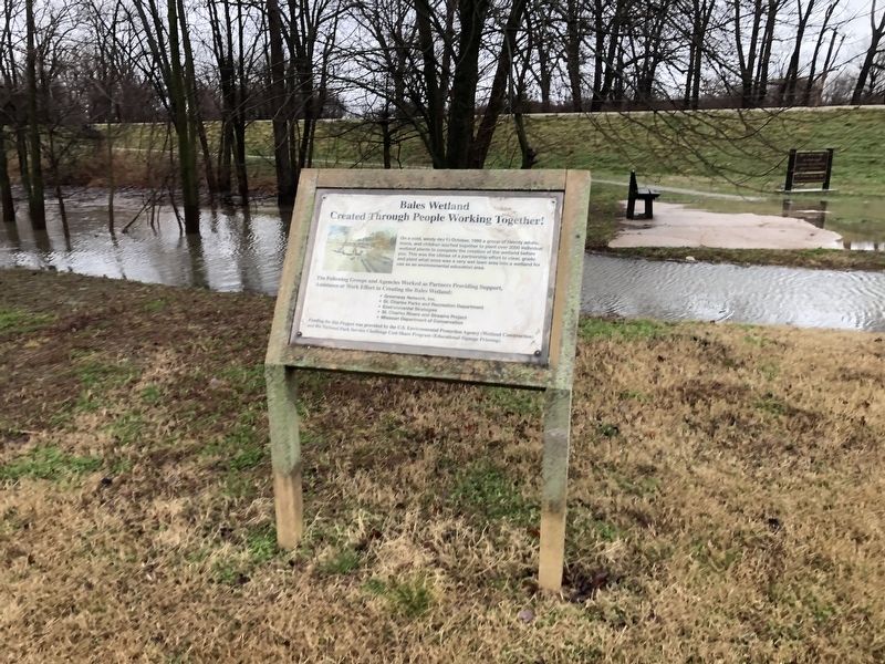
Bales Wetland
Created Through People Working Together!
On a cold, windy day in October, 1999 a group of twenty adults, teens, and children worked together to plant over 2000 individual wetland plants to complete the creation of the wetland before you. This was the climax of a partnership effort to clear, grade and plant what once was a very west lawn area into a wetland for use as an environmental education area.
The Following Groups and Agencies Worked as Partners Providing Support, Assistance or Work Effort in Creating the Bales Wetland:
• Greenway Network, Inc.Funding for this Project was provided by the U.S. Environmental Protection Agency (Wetland Construction) and the National Park Service Challenge Cost Share Program (Educational Signage Printing).
• St. Charles Park and Recreation Department
• Environmental Strategies
• St. Charles Rivers and Streams Project
• Missouri Department of Conservation
Topics. This historical marker is listed in these topic lists: Education • Environment • Parks & Recreational Areas. A significant historical month for this entry is October 1999.
Location. 38° 48.081′ N, 90° 28.196′ W. Marker is in St. Charles, Missouri, in St. Charles County. Marker is on North River Road, 0.9 miles south of Bluebird, on the left when traveling south. Touch for map . Marker is at or near this postal address: 1154 N River Rd, Saint Charles MO 63301, United States of America. Touch for directions.
Other nearby markers. At least 8 other markers are within walking distance of this marker. What Happens When Wetlands Are Lost? (a few steps from this marker); Why Is This Area a Wetland? (a few steps from this marker); Historic Frenchtown (approx. half a mile away); Missouri River floods (approx. 0.6 miles away); St. Charles Ecopark (approx. 0.6 miles away); 1314 N. 3rd (approx. ¾ mile away); 1310 North Third Street (approx. ¾ mile away); Frenchtown Neighborhood (approx. 0.9 miles away). Touch for a list and map of all markers in St. Charles.
Credits. This page was last revised on March 23, 2021. It was originally submitted on March 23, 2021, by Devry Becker Jones of Washington, District of Columbia. This page has been viewed 206 times since then and 30 times this year. Photos: 1, 2. submitted on March 23, 2021, by Devry Becker Jones of Washington, District of Columbia.

