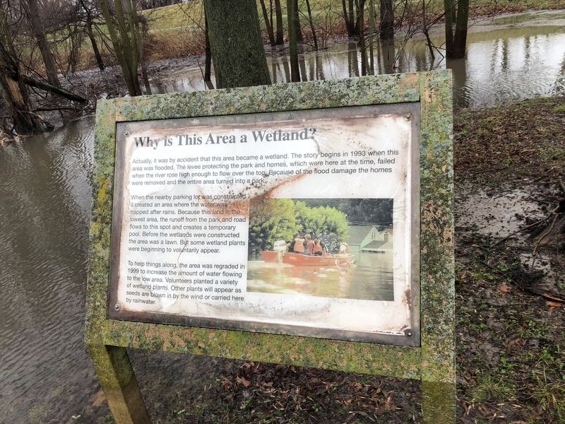
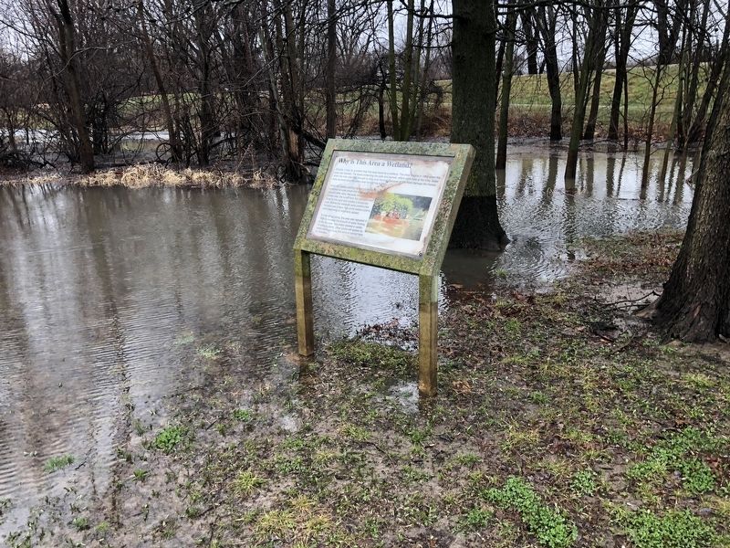
Why Is This Area a Wetland?
Actually, it was by accident that this area became a wetland. The story begins in 1993 when this area was flooded. The levee protecting the park and homes, which were here at the time, failed when the river rose high enough to flow over the top. Because of the flood damage the homes were removed and the entire area turned into a park.
When the nearby parking lot was constructed it created an area where the water was trapped after rains. Because this land is the lowest area, the runoff from the park and road flows to this spot and creates a temporary pool. Before the wetlands were constructed the area was a lawn. But some wetland plants were beginning to voluntarily appear.
To help things along, the area was regraded in 1999 to increase the amount of water flowing to the low area. Volunteers planted a variety of wetland plants. Other plants will appear as seeds are blown in by the wind or carried here by rainwater.
Topics. This historical marker is listed in these topic lists: Disasters • Environment • Parks & Recreational Areas • Waterways & Vessels. A significant historical year for this entry is 1993.
Location. 38° 48.086′ N, 90° 28.191′ W. Marker is in St. Charles, Missouri, in St. Charles County. Marker is on North River Road, 0.9 miles south of Bluebird
Other nearby markers. At least 8 other markers are within walking distance of this marker. Bales Wetland (a few steps from this marker); What Happens When Wetlands Are Lost? (a few steps from this marker); Historic Frenchtown (approx. half a mile away); Missouri River floods (approx. 0.6 miles away); St. Charles Ecopark (approx. 0.6 miles away); 1314 N. 3rd (approx. 0.8 miles away); 1310 North Third Street (approx. 0.8 miles away); Frenchtown Neighborhood (approx. 0.9 miles away). Touch for a list and map of all markers in St. Charles.
Additional commentary.
1. The Flood of 1993
The Flood of 1993 heavily affected the Greater St. Louis Area, and the development of this wetland park is one of the improvements that was a positive consequence of the flooding.
Additional keywords. Flood of 1993
Credits. This page was last revised on March 23, 2021. It was originally submitted on March 23, 2021, by Devry Becker Jones of Washington, District of Columbia. This page has been viewed 78 times since then and 8 times this year. Photos: 1, 2. submitted on March 23, 2021, by Devry Becker Jones of Washington, District of Columbia.

