
Near Alanreed in Gray County, Texas — The American South (West South Central)
George B. McClellan

1. George B. McClellan Marker
Erected 1996 by Texas Historical Commission. (Marker Number 2149.)
Topics. This historical marker is listed in these topic lists: Exploration • War, US Civil • Waterways & Vessels.
Location. Marker is missing. It was located near 35° 12.783′ N, 100° 52.397′ W. Marker was near Alanreed, Texas, in Gray County. It could be reached from Farm to Market Road 2477 E 3.2 miles north of Interstate 40, on the left when traveling north. Located in the McClellan Creek National Grassland. Touch for map. Marker was in this post office area: Alanreed TX 79002, United States of America. Touch for directions.

Regionally, this marker was on the Texas Panhandle. It was also on the American Great Plains and specifically on the Southern Plains. Globally, it was in North America, a Gulf of Mexico state, the Western Hemisphere, the Western World, and the Anglosphere. Historically, it found itself in what was once New Spain, the Comanchería, the Dust Bowl, the Republic of Texas, and one of the Confederate States of America.
Other nearby markers. At least 8 other markers are within 4 miles of this location, measured as the crow flies: Indian Battlefield (approx. 0.3 miles away); "The Naming Of Route 66"
this page online
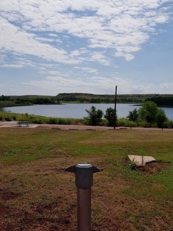
Photographed by Allen Lowrey, June 20, 2020
2. Pole of missing George B. McClellan Marker
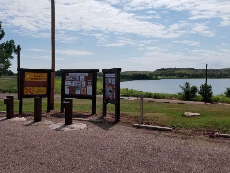
Photographed by Allen Lowrey, June 20, 2020
3. Wide view of missing George B. McClellan Marker site
Credits. This page was last revised on March 24, 2021. It was originally submitted on March 24, 2021, by Allen Lowrey of Amarillo, Texas. This page has been viewed 467 times since then and 39 times this year. Photos: 1. submitted on March 24, 2021. 2, 3. submitted on March 24, 2021, by Allen Lowrey of Amarillo, Texas. • Bernard Fisher was the editor who published this page.
