Historic Father Dickson Cemetery
Established in 1903
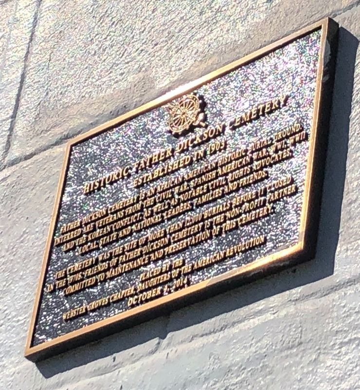
Father Dickson Cemetery is an African American historic burial ground. Interred are veterans from the Civil War, Spanish American War, WWI, WWII, and the Korean Conflict, as well as notable civil rights advocates, local, state and national leaders, families and friends.
The cemetery was the site of more than 12,000 burials before it closed in the 1970s. Friends of Father Dickson Cemetery is the non-profit partner committed to maintenance and preservation of this cemetery.
Erected 2014 by Webster Groves Chapter, Daughters of the American Revolution.
Topics and series. This historical marker is listed in these topic lists: African Americans • Cemeteries & Burial Sites • Civil Rights • Military. In addition, it is included in the Daughters of the American Revolution (DAR) series list.
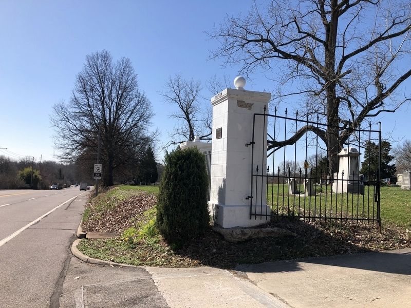
Location. 38° 34.024′ N, 90° 23.11′ W. Marker is in Crestwood, Missouri, in St. Louis County. It is at the intersection of Sappington Road and Elmont Lane, on the right when traveling south on Sappington Road. Touch for map. Marker is at or near this postal address:
this page online

Regionally, this marker is in Greater St. Louis. It is also in the American Midwest, in the Lewis & Clark Corridor, in the Corn Belt, and in the Great River Road Region. Globally, it is in North America, the Western Hemisphere, the Western World, and the Anglosphere. Historically, it finds itself in what was once the Viceroyalty of New France, the territory of the Mississippian Culture, the Louisiana Purchase, and the Antebellum South.
Other nearby markers. At least 8 other markers are within walking distance of this marker: Rev. Sir Moses Dickson (within shouting distance of this marker); Father Dickson Cemetery (within shouting distance of this marker); Grant's Trail: Sappington House and Father Dickson Cemetery (approx. 0.2 miles away); The Barn Center (approx. 0.2 miles away); Thomas Sappington House (approx. ¼ mile away); Henry Christian Werth (approx. 0.6 miles away); Veterans Memorial (approx. 0.6 miles away); J. Milton Turner School (approx. one mile away). Touch for a list and map of all markers in Crestwood.
Credits. This page was last revised on March 24, 2021. It was originally submitted on March 24, 2021, by Devry Becker Jones of Washington, District of Columbia. This page has been viewed 377 times since then and 26 times this year. Photos: 1, 2. submitted on March 24, 2021, by Devry Becker Jones of Washington, District of Columbia.
