
Appomattox in Appomattox County, Virginia — The American South (Mid-Atlantic)
Appomattox Confederate Cemetery Memorial
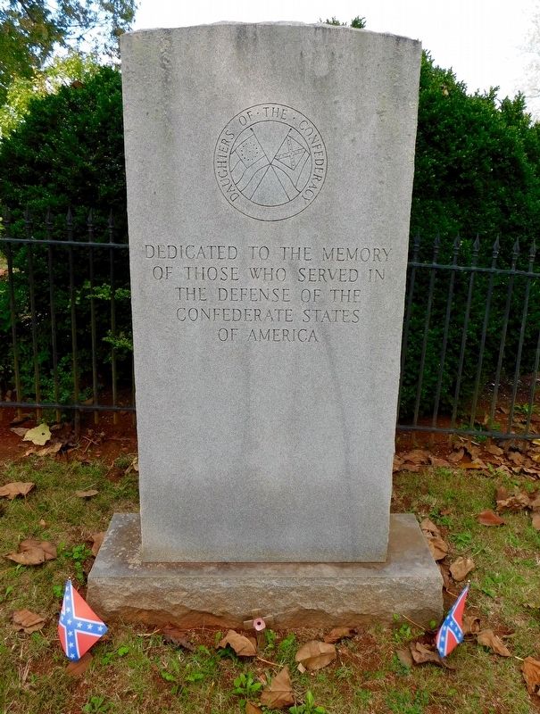
Photographed by Bradley Owen, October 16, 2017
1. Confederate Cemetery Memorial
Erected 1985 by Daughters of the Confederacy.
Topics. This memorial is listed in these topic lists: Cemeteries & Burial Sites • War, US Civil.
Location. 37° 22.56′ N, 78° 48.164′ W. Memorial is in Appomattox, Virginia, in Appomattox County. It can be reached from the intersection of Old Courthouse Road (Virginia Route 24) and Gordon Avenue, on the right when traveling west. Located within the Confederate Cemetery in Appomattox Court House Historical Park. Touch for map. Memorial is in this post office area: Appomattox VA 24522, United States of America. Touch for directions.

Regionally, this memorial is in the Piedmont and in Central Virginia. It is also in the American South and specifically in the Upper South. Globally, it is in North America, the Western Hemisphere, the Western World, and the Anglosphere. Historically, it finds itself in what was once the territory of the Mississippian Culture, one of the original Thirteen Colonies, one of the Confederate
this page online
Other nearby markers. At least 8 other markers are within walking distance of this marker: Confederate Cemetery (a few steps from this marker); Appomattox (within shouting distance of this marker); Appomattox Court House Confederate Cemetery (within shouting distance of this marker); The First African American School in Appomattox (within shouting distance of this marker); A Strategic Delay (within shouting distance of this marker); Wartime Landscape (within shouting distance of this marker); Slave Cemetery (about 300 feet away); Raine Memorial (about 400 feet away). Touch for a list and map of all markers in Appomattox.
Another marker is no longer nearby. Sears Lane (was about 300 feet away, measured in a direct line but has been permanently removed).
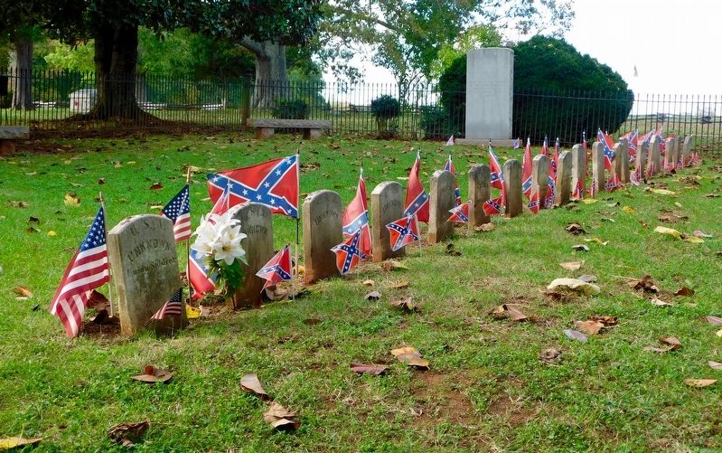
Photographed by Bradley Owen, October 16, 2017
2. Confederate Cemetery
Memorial is seen in the rear.
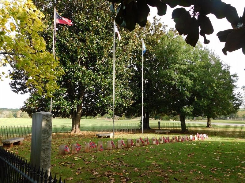
Photographed by Bradley Owen, October 16, 2017
3. View Of The Memorial And The Confederate Cemetery From The Rear
Credits. This page was last revised on March 26, 2021. It was originally submitted on March 25, 2021, by Bradley Owen of Morgantown, West Virginia. This page has been viewed 421 times since then and 27 times this year. Photos: 1, 2, 3. submitted on March 25, 2021, by Bradley Owen of Morgantown, West Virginia. • Bernard Fisher was the editor who published this page.
