
Missouri State Parks
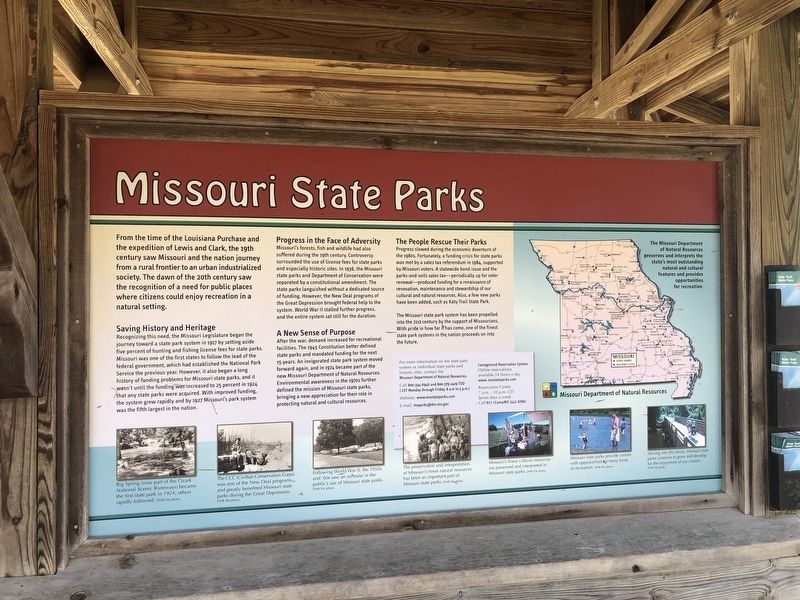
From the time of the Louisiana Purchase and the expedition of Lewis and Clark, the 19th century saw Missouri and the nation journey from a rural frontier to an urban industrialized society. The dawn of the 20th century saw the recognition of a need for public places where citizens could enjoy recreation in a natural setting.
Saving History and Heritage
Recognizing this need, the Missouri Legislature began the journey toward a state park system in 1917 by setting aside five percent of hunting and fishing license fees for state parks. Missouri was one of the first state to follow the lead of the federal government, which had established the National Park Service the previous year. However, it also began a long history of funding problems for Missouri state park, and it wasn't long until the funding was increased to 25 percent in 1924 that any state parks were acquired. With improving funding, the system grew rapidly by 1927 Missouri's park system was the fifth largest in the nation.
Progress in the Face of Adversity
Missouri's forests, fish and wildlife had also suffered during the 19th century. Controversy surrounded
this page online
A New Sense of Purpose
After the war, demand increased for recreational facilities. The 1945 Constitution better defined state parks and mandated funding for the next 15 years. An invigorated state park system moved forward again, and in 1974 became part of the new Missouri Department of Natural Resources. Environmental awareness in the 1970s further defined the mission of Missouri state parks, bringing a new appreciation for their role in protecting natural and cultural resources.
The People Rescue Their Parks
Progress slowed during the economic downturn of the 1980s. Fortunately, a funding crisis for state parks was met by a sales tax referendum in 1984, supported by Missouri voters. A statewide bond issue
The Missouri state park system has been propelled into the 21st century by the support of Missourians. With pride in how far it has come, one of the finest state park systems in the nation proceeds on into the future.
[Captions:]
Big Spring (now part of the Ozark National Scenic Riverways) became the first state park in 1924; others rapidly followed.
The CCC (Civilian Conservation Corps) was one of the New Deal programs, and greatly benefited Missouri state parks during the Great Depression.
Following World War II, the 1950s and '60s saw an increase in the public's use of Missouri state parks.
The preservation and interpretation of Missouri's finest natural resources has been an important part of Missouri state parks.
Missouri's finest cultural resources are preserved and interpreted in Missouri state parks.
Missouri state parks provide visitors with opportunities for many kinds of recreation.
Moving into the future, Missouri state parks continue to grow and develop for the enjoyment of our visitors.
Erected by Missouri
Topics and series. This historical marker is listed in these topic lists: Charity & Public Work • Environment • Parks & Recreational Areas • Waterways & Vessels. In addition, it is included in the Civilian Conservation Corps (CCC), and the Katy Trail State Park series lists. A significant historical year for this entry is 1917.
Location. 38° 36.358′ N, 92° 9.739′ W. Marker is in Jefferson City, Missouri, in Callaway County. It can be reached from Katy Road 0.9 miles north of Oilwell Road, on the right when traveling north. Touch for map. Marker is in this post office area: Holts Summit MO 65043, United States of America. Touch for directions.

Regionally, this marker is in Little Dixie and in the Missouri River Corridor. It is also in the American Midwest, in the Lewis & Clark Corridor, and in the Corn Belt. Globally, it is in North America, the Western Hemisphere, the Western World, and the Anglosphere. Historically, it finds itself in what was once the territory of the Mississippian Culture, the Louisiana Purchase, and the Antebellum South.
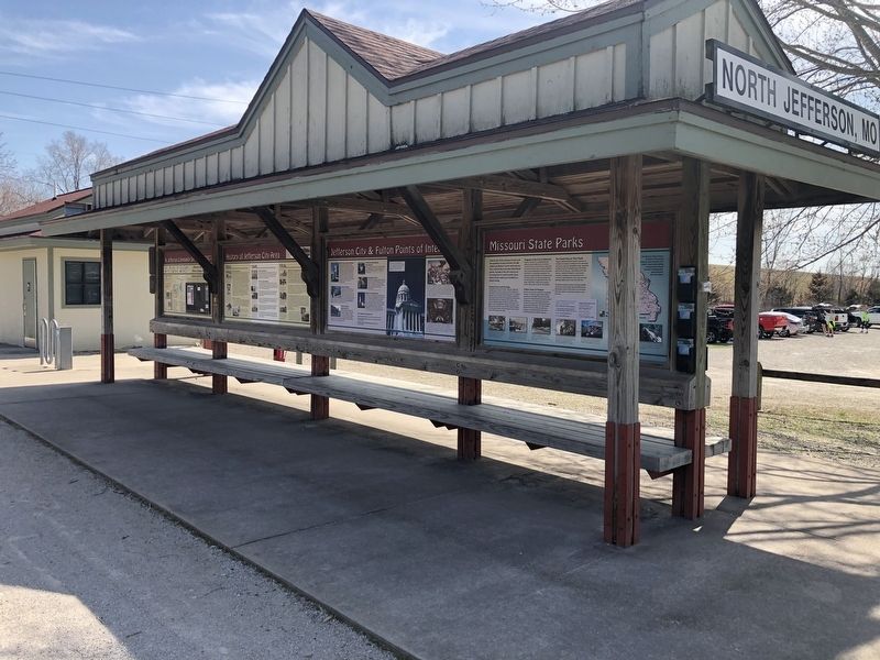
Other nearby markers. At least 8 other markers are within walking distance of this marker: Jefferson City & Fulton Points of Interest (here, next to this marker); N. Jefferson to Hartsburg (here, next to this marker); Lewis and Clark in Missouri (here, next to this marker); N. Jefferson to Tebbetts (here, next to this marker); History of Jefferson City Area (here, next to this marker); Katy Trail State Park (a few steps from this marker); Bicentennial Monument (within shouting distance of this marker); The Great Flood of 1993 (within shouting distance of this marker). Touch for a list and map of all markers in Jefferson City.
Credits. This page was last revised on March 25, 2021. It was originally submitted on March 25, 2021, by Devry Becker Jones of Washington, District of Columbia. This page has been viewed 256 times since then and 30 times this year. Photos: 1, 2. submitted on March 25, 2021, by Devry Becker Jones of Washington, District of Columbia.
