
Farmington Hills in Oakland County, Michigan — The American Midwest (Great Lakes)
Shiawassee Indian Trail
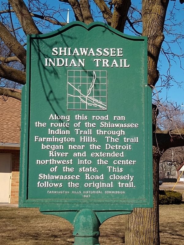
Photographed by Joel Seewald, March 20, 2021
1. Shiawassee Indian Trail Marker
Erected 1987 by Farmington Hills Historical Commission.
Topics. This historical marker is listed in these topic lists: Indigenous Peoples and Communities • Roads & Vehicles.
Location. 42° 26.995′ N, 83° 19.06′ W. Marker is in Farmington Hills, Michigan, in Oakland County. It is at the intersection of Shiawassee Street and Inkster Road, on the right when traveling west on Shiawassee Street. Touch for map. Marker is at or near this postal address: 27500Shiawassee Street, Farmington MI 48336, United States of America. Touch for directions.

Regionally, this marker is in Southeast Michigan and in Greater Detroit. It is also in the American Midwest and on the Great Lakes. Globally, it is in North America, the Western Hemisphere, the Western World, and the Anglosphere. Historically, it finds itself in what was once the Northwest
this page online
Other nearby markers. At least 8 other markers are within 3 miles of this marker, measured as the crow flies: Botsford Inn (approx. half a mile away); Clarenceville School District / Louis E. Schmidt Auditorium (approx. 1.4 miles away); Redford Township District No. 5 School (approx. 2 miles away); Detroit United Railway (approx. 2.1 miles away); Southfield Centre (approx. 2.7 miles away); Nardin Park United Methodist Church (approx. 2.7 miles away); Southfield Town Hall (approx. 2.9 miles away); Southfield Township Site (approx. 2.9 miles away). Touch for a list and map of all markers in Farmington Hills.
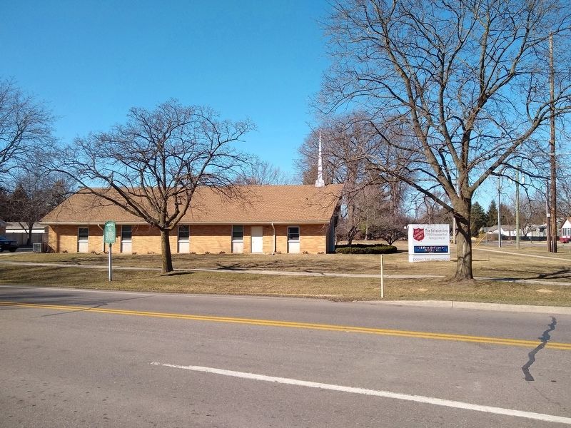
Photographed by Joel Seewald, March 20, 2021
2. Shiawassee Indian Trail Marker
Credits. This page was last revised on July 9, 2025. It was originally submitted on March 26, 2021, by Joel Seewald of Madison Heights, Michigan. This page has been viewed 1,723 times since then and 71 times this year. Photos: 1, 2. submitted on March 26, 2021, by Joel Seewald of Madison Heights, Michigan.
