Parsons in Tucker County, West Virginia — The American South (Appalachia)
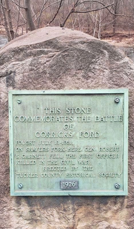
This Stone Commemorates the Battle of Corricks Ford
Photographed by Bradley Owen, March 27, 2021
1. This Stone Commemorates the Battle of Corricks Ford Marker
Erected 1926 by Tucker County Historical Society.
Topics. This memorial is listed in this topic list: War, US Civil. A significant historical date for this entry is July 13, 1861.
Location. 39° 5.288′ N, 79° 41.108′ W. Memorial is in Parsons, West Virginia, in Tucker County. It is on Main Street (U.S. 219), on the right when traveling east. Touch for map. Memorial is at or near this postal address: 113 Main St, Parsons WV 26287, United States of America. Touch for directions.

Regionally, this memorial is in the Potomac Highlands. It is also in the American South, specifically in the Upper South, in Appalachia, and specifically in Northern Appalachia. Globally, it is in North America, the Western Hemisphere, the Western World, and the Anglosphere. Historically, it finds itself in what was once the territory of the Mississippian Culture.
Other nearby markers. At least 8 other markers are within walking distance of this marker: Corrick's Ford (here, next to this marker); Corricks Ford Battlefield (a few steps from this marker); a different marker also named Corricks Ford Battlefield (a few steps from this marker); a different marker also named Corricks Ford (about 500 feet away, measured in a direct line); The Corrick House (about 600 feet away); Clash at Corricks Ford (approx. 0.2 miles away); a different marker also named Corricks Ford Battlefield (approx. ¼ mile away); Historic Western Maryland Railway Depot / Parsons Railroad Depot (approx. 0.6 miles away). Touch for a list and map of all markers in Parsons.
Also see . . . Battle of Corrick's Ford. Overview of the battle. (Submitted on October 26, 2009, by Craig Swain of Leesburg, Virginia.)
this page online
Photographed by Craig Swain
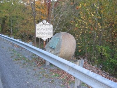
2. Corrick's Ford Markers
Photographed by Craig Swain
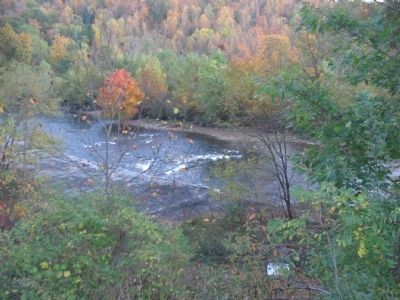
3. Corrick's Ford
Looking from the marker location toward the area of Corrick's Ford over Shavers Fork. The gray area on the near side bank is actually a modern embankment to reduce erosion. Below the marker location on the road runs the Allegheny Highlands Trail, an old railroad bed that crosses through next to the river. Beside the trail is a marker further explaining the battle. The railroad line dated to the early 20th century, and did not factor into the battle.
Credits. This page was last revised on January 14, 2026. It was originally submitted on October 26, 2009, by Craig Swain of Leesburg, Virginia. This page has been viewed 1,409 times since then and 54 times this year. Last updated on March 27, 2021, by Bradley Owen of Morgantown, West Virginia. Photos: 1. submitted on March 27, 2021, by Bradley Owen of Morgantown, West Virginia. 2, 3. submitted on October 25, 2009, by Craig Swain of Leesburg, Virginia. • Devry Becker Jones was the editor who published this page.
