Marietta in Washington County, Ohio — The American Midwest (Great Lakes)
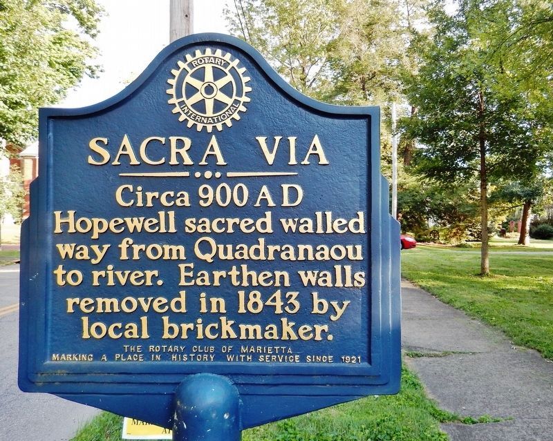
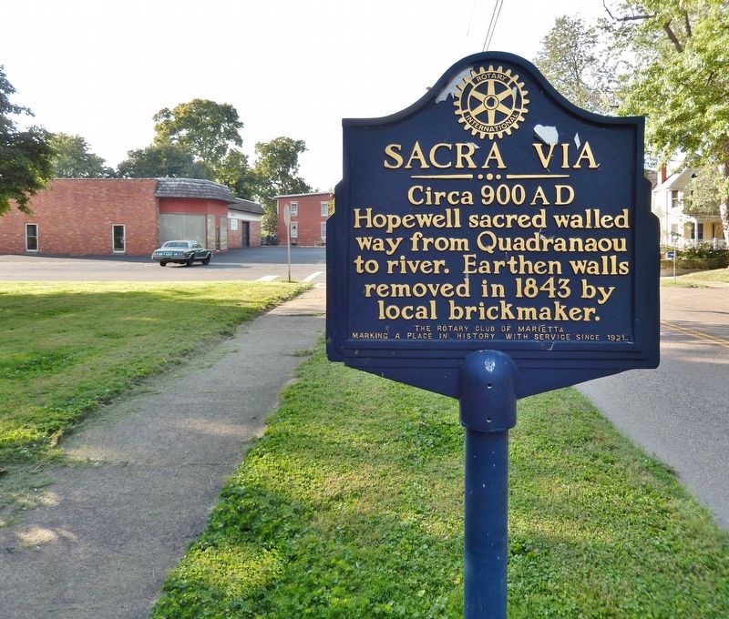
Sacra Via
Circa 900 AD
Inscription.
Hopewell sacred walled way from Quadranaou to river. Earthen walls removed in 1843 by local brickmaker.
Marking a place in history with service since 1921
Erected by Rotary Club of Marietta.
Topics and series. This historical marker is listed in these topic lists: Anthropology & Archaeology • Native Americans. In addition, it is included in the Rotary International series list. A significant historical year for this entry is 1843.
Location. 39° 25.349′ N, 81° 27.848′ W. Marker is in Marietta, Ohio, in Washington County. Marker is on Front Street just south of West Sacra Via Street, on the right when traveling south. Marker is located beside the sidewalk on the east side of West Sacra Via park. Touch for map. Marker is in this post office area: Marietta OH 45750, United States of America. Touch for directions.
Other nearby markers. At least 8 other markers are within walking distance of this marker. Merydith House (about 600 feet away, measured in a direct line); Steam Towboat "W. P. Snyder, Jr." (about 600 feet away); Flatboats (about 700 feet away); Oldest Pilothouse (about 700 feet away); Schoonover Shanty Boat (about 700 feet away); Land Office (about 700 feet away); Flood Heights (about 800 feet away); Mighty River / Learning the River (about 800 feet away). Touch for a list and map of all markers in Marietta.
Also see . . .
1. Marietta Earthworks: Enclosures and Sacra Via. The Sacra Via was a 680 feet long by 150 feet wide graded way that ended at or near the Muskingum River. It was flanked on its side by embankments. Sections of the Sacra Via are preserved as a parkway leading from Third Street to Sacra Via Park. The Sacra Via was mostly destroyed in 1882, with the resulting clay being used for the making of bricks. (Submitted on March 28, 2021, by Cosmos Mariner of Cape Canaveral, Florida.)
2. Quadranaou Mound. The three acre area where Quadranaou Mound is located is believed to have been built by the Hopewell culture around 900 AD. While the mound’s original use was for ceremonies performed by the Hopewell people, it and the Sacra Via were used during the Civil War as Camp Tupper. (Submitted on March 28, 2021, by Cosmos Mariner of Cape Canaveral, Florida.)
Credits. This page was last revised on March 28, 2021. It was originally submitted on March 28, 2021, by Cosmos Mariner of Cape Canaveral, Florida. This page has been viewed 463 times since then and 81 times this year. Photos: 1, 2. submitted on March 28, 2021, by Cosmos Mariner of Cape Canaveral, Florida.

