Silver City in Grant County, New Mexico — The American Mountains (Southwest)
Protecting our Watershed
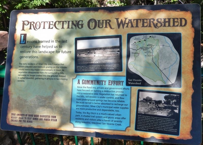
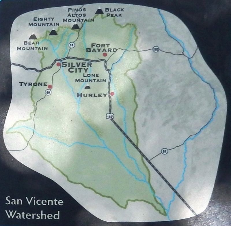
The early residents of Silver City didn't realize that wood collection and livestock grazing on the hillsides would have a big impact downstream, in town. As vegetation disappeared from the surrounding hills, rainwater no longer soaked into the ground. Instead, it rushed downhill, gathering in arroyos in fast-moving torrents.
Huge amounts of wood were harvested from nearby hills to heat homes and power steam engines for the mines.
A Community Effort
Since the flood era, private and government efforts have focused on turning a destructive process into a restorative one. Vegetation has returned to the hills, soil erosion is under control, and flow from underground springs has become reliable. Because rainfall is better absorbed to recharge our groundwater, Silver City's municipal water supplies are more productive and dependable, too.
Today, the Big Ditch is a much-valued urban park. A shaded trail system and picnic areas offer residents and visitors alike a haven of serenity along beautiful, tree-lined San Vicente Creek.
Topics. This historical marker is listed in these topic lists: Charity & Public Work • Parks & Recreational Areas • Waterways & Vessels.
Location. 32° 46.223′ N, 108° 16.526′ W. Marker is in Silver City, New Mexico, in Grant County. Marker can be reached from the intersection of North Hudson Street (New Mexico Route 90) and East Yankie Street, on the left when traveling north. Marker is located along the San Vicente Trail, overlooking the "Big Ditch," near the Murray Ryan Visitor Center. Touch for map. Marker is at or near this postal address: 201 North Hudson Street, Silver City NM 88061, United States of America. Touch for directions.
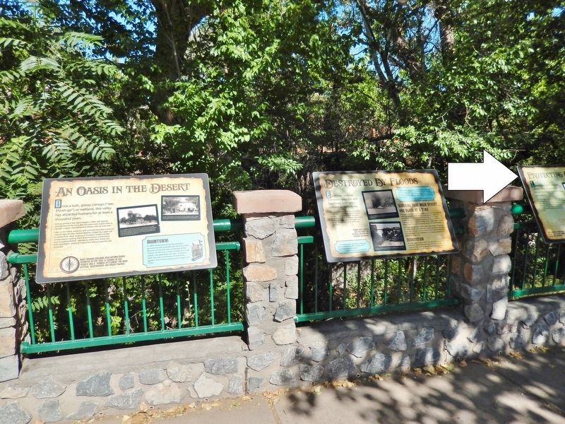
Other nearby markers. At least 8 other markers are within walking distance of this marker. Destroyed by Floods (here, next to this marker); An Oasis in the Desert (here, next to this marker); 1870's Log Cabin (within shouting distance of this marker); Changing Values (within shouting distance of this marker); Anita Scott Coleman (within shouting distance of this marker); O.B. McClintock Bank Clock (about 500 feet away, measured in a direct line); Municipal Museum (approx. 0.2 miles away); Silver City Centennial (approx. 0.3 miles away). Touch for a list and map of all markers in Silver City.
Related markers. Click here for a list of markers that are related to this marker. Silver City Big Ditch Park
Also see . . . This Stunning New Mexico Park Was Once a Dump. In the early days of Silver City, storm water runoff surged down Main Street and carved a big ditch. For years the ditch was used as a trash heap and sewer.
Courtesy Silver City Museum
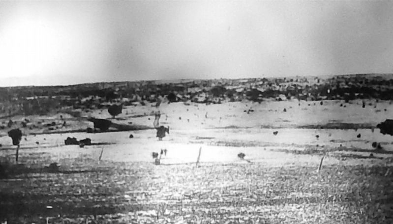
2. Marker detail: Hillside vegetation had all but disappeared by 1900.
Hillside vegetation had all but disappeared by the time a photographer captured this image, circa 1900. Today, grasses and other plants have returned, helping the land once again absorb and release water slowly over time, like a sponge.
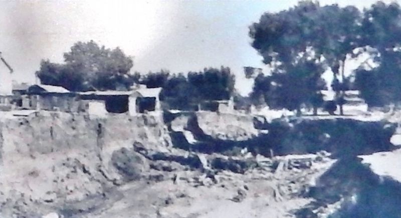
Courtesy Silver City Museum
4. Marker detail: The Big Ditch
In this undated photo, men work on constructing flood control dams in the Big Ditch. In 1905, the jutting piece of land on the right was removed with dynamite in order to give flood waters a straight shot down the ditch. Over the years, federal programs such as the Civilian Conservation Corps and the Soil Conservation Service contributed to the effort to address the flooding and erosion problems plaguing Silver City, including the concrete retaining walls you see here along the banks of the Big Ditch.
Credits. This page was last revised on March 31, 2021. It was originally submitted on March 30, 2021, by Cosmos Mariner of Cape Canaveral, Florida. This page has been viewed 85 times since then and 8 times this year. Photos: 1. submitted on March 30, 2021, by Cosmos Mariner of Cape Canaveral, Florida. 2, 3, 4, 5. submitted on March 31, 2021, by Cosmos Mariner of Cape Canaveral, Florida.
