
Buffalo in Cass County, North Dakota — The American Midwest (Upper Plains)
Sibley Trail
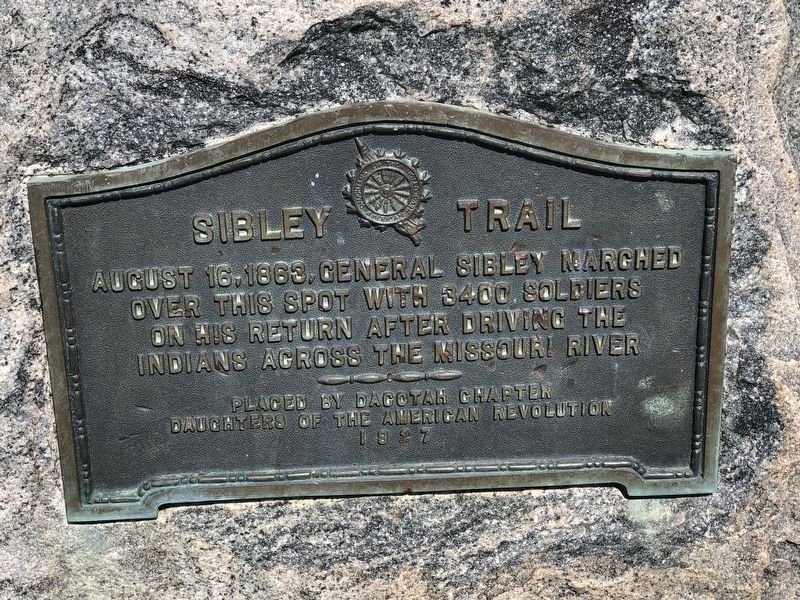
Photographed by Ruth VanSteenwyk, July 26, 2020
1. Sibley Trail Marker
Erected 1927 by Dacotah Chapter, Daughters of the American Revolution.
Topics and series. This historical marker is listed in these topic lists: Indigenous Peoples and Communities • Wars, US Indian. In addition, it is included in the Daughters of the American Revolution (DAR) series list. A significant historical date for this entry is August 16, 1863.
Location. 46° 55.188′ N, 97° 36.28′ W. Marker is in Buffalo, North Dakota, in Cass County. It is on 34th Street South East 0.3 miles west of 137th Avenue South East, on the right when traveling west. Touch for map. Marker is at or near this postal address: 13673 34th Street South East, Buffalo ND 58011, United States of America. Touch for directions.

Regionally, this marker is in the Red River Valley and in Greater Fargo Area. It is also in the American Lewis & Clark Corridor, on the prairies, and on the Northern Plains. Globally, it is in North America, the Western Hemisphere, the Western World, and the Anglosphere. Historically,
this page online
Other nearby markers. At least 8 other markers are within 3 miles of this marker, measured as the crow flies: Calgary Episcopal Church Rectory (approx. 2½ miles away); Old Stone Church (approx. 2½ miles away); 1916 Buffalo High School (approx. 2.6 miles away); Buffalo Area Veterans Monument (approx. 2.6 miles away); More House (approx. 2.6 miles away); Bateman Drugstore (approx. 2.6 miles away); First Presbyterian Church (approx. 2.6 miles away); Peterson House (approx. 2.6 miles away). Touch for a list and map of all markers in Buffalo.
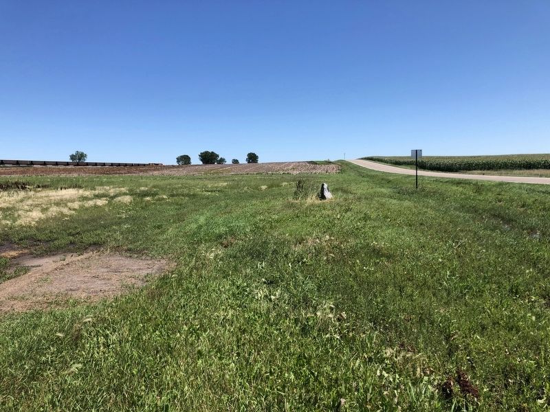
Photographed by Ruth VanSteenwyk, July 26, 2020
2. Sibley Trail Marker
Credits. This page was last revised on October 22, 2025. It was originally submitted on March 30, 2021, by Ruth VanSteenwyk of Aberdeen, South Dakota. This page has been viewed 783 times since then and 48 times this year. Photos: 1, 2. submitted on March 30, 2021, by Ruth VanSteenwyk of Aberdeen, South Dakota. • Bill Pfingsten was the editor who published this page.
