Near Bayard in Morrill County, Nebraska — The American Midwest (Upper Plains)
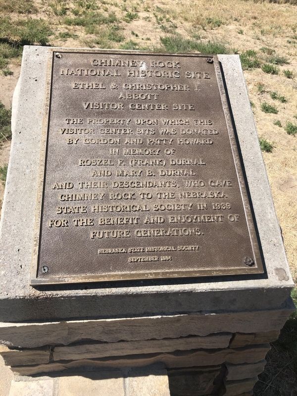
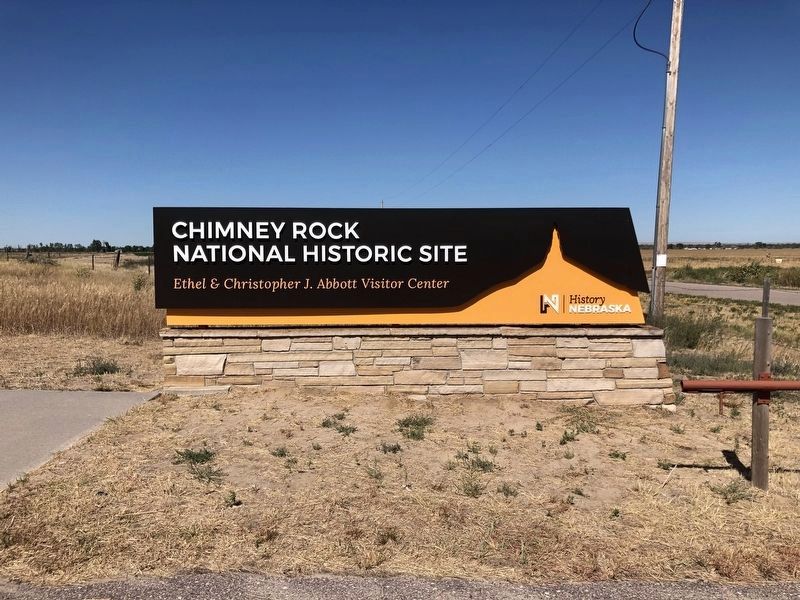
Chimney Rock National Historic Site
Ethel and Christopher J. Abbott Visitor Center Site
The property upon which this visitor center sits was donated by Gordon and Patty Howard
In Memory of Roszel F. (Frank) Durnal and Mary B. Durnal and their descendants, who gave Chimney Rock to the Nebraska State Historical Society in 1939 for the benefit and enjoyment of future generations.
Erected 1994 by Nebraska State Historical Society.
Topics and series. This historical marker is listed in these topic lists: Charity & Public Work • Landmarks • Natural Features • Parks & Recreational Areas. In addition, it is included in the Nebraska State Historical Society series list. A significant historical year for this entry is 1939.
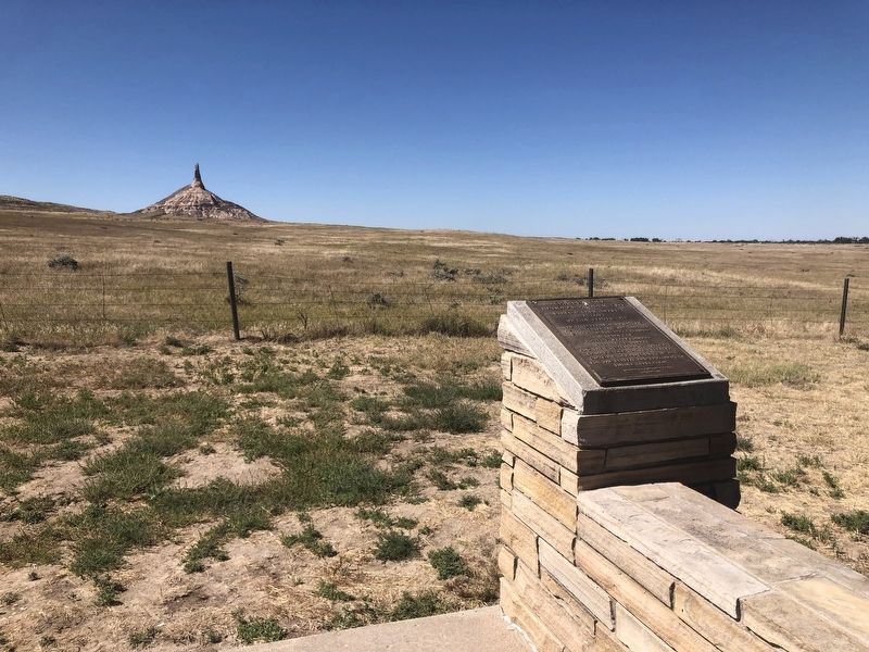
Location. 41° 42.165′ N, 103° 19.962′ W. Marker is near Bayard, Nebraska, in Morrill County. Marker can be reached from Chimney Rock Recreation Road (State Highway 62F) one mile south of State Highway 92, on the right when traveling south. The marker is located outside the Visitor's Center to the west. Touch for map. Marker is at or near this postal address: 9822 Chimney Rock, Bayard NE 69334, United States of America. Touch for directions.
Other nearby markers. At least 8 other markers are within 9 miles of this marker, measured as the crow flies. The Innocent Assassins (within shouting distance of this marker); Mary Murray Murdoch (approx. half a mile away); Chimney Rock Cemetery (approx. half a mile away); Chimney Rock Station (approx. 1.3 miles away); Chimney Rock (approx. 1.3 miles away); The Oregon Trail (approx. 1.3 miles away); The Mormon Pioneer Trail / Halfway To Zion (approx. 2.9 miles away); Camp Clarke Bridge and Sidney-Black Hills Trail (approx. 8.8 miles away). Touch for a list and map of all markers in Bayard.
Credits. This page was last revised on March 31, 2021. It was originally submitted on March 31, 2021, by Ruth VanSteenwyk of Aberdeen, South Dakota. This page has been viewed 254 times since then and 40 times this year. Photos: 1, 2, 3. submitted on March 31, 2021, by Ruth VanSteenwyk of Aberdeen, South Dakota. • Devry Becker Jones was the editor who published this page.


