Tremont in Itawamba County, Mississippi — The American South (East South Central)
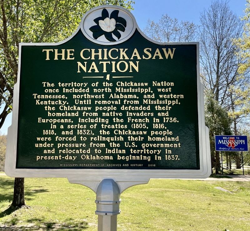
The Chickasaw Nation
Erected 2016 by Mississippi Department of Archives and History.
Topics and series. This historical marker is listed in these topic lists: Native Americans • Wars, US Indian. In addition, it is included in the Mississippi State Historical Marker Program series list. A significant historical year for this entry is 1736.
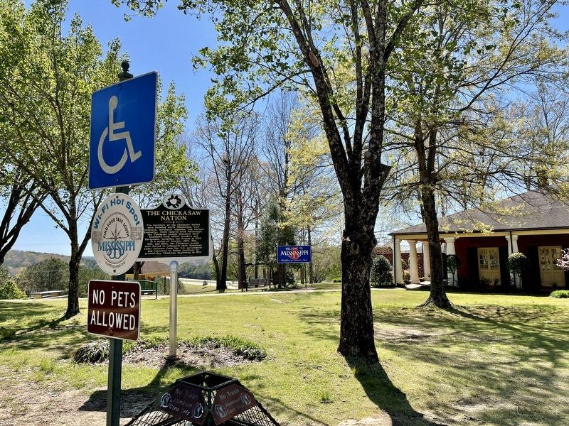
Location. 34° 13.328′ N, 88° 13.972′ W. Marker is in Tremont, Mississippi, in Itawamba County. Marker can be reached from Interstate 22, on the right when traveling west. Located at the I-22 Westbound Mississippi Welcome Center in Tremont 2.7 miles west of the Alabama/Mississippi line. Touch for map. Marker is in this post office area: Tremont MS 38876, United States of America. Touch for directions.
Other nearby markers. At least 8 other markers are within 11 miles of this marker, measured as the crow flies. Bankhead Highway (approx. 1.7 miles away); Tammy Wynette (approx. 1.9 miles away); Oakland Normal Institute (approx. 4.1 miles away); Historical African~American Cemetery (approx. 10.2 miles away); Van Buren (approx. 10.3 miles away); Fulton Cemetery (approx. 10.3 miles away); The Cedars (approx. 10˝ miles away); Aeolian Grove (approx. 10˝ miles away). Touch for a list and map of all markers in Tremont.
Also see . . . Wikipedia article on the Chickasaw Nation. (Submitted on April 2, 2021, by Mark Hilton of Montgomery, Alabama.)
Credits. This page was last revised on April 2, 2021. It was originally submitted on April 2, 2021, by Mark Hilton of Montgomery, Alabama. This page has been viewed 402 times since then and 56 times this year. Photos: 1, 2. submitted on April 2, 2021, by Mark Hilton of Montgomery, Alabama.

