Altamont in Effingham County, Illinois — The American Midwest (Great Lakes)
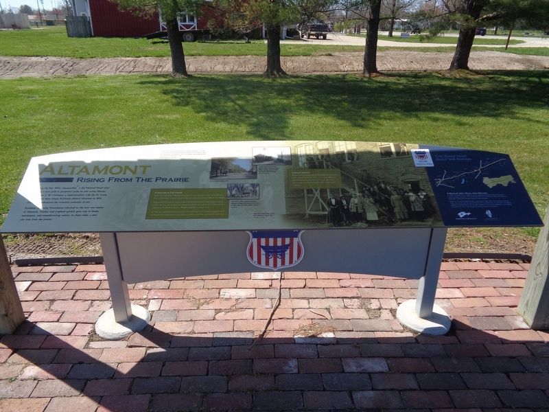
Altamont
Rising from the Prairie
Residents of nearby Freemanton relocated to the new way station of Altamont. Timber and cropland quickly gave way to hotels, warehouses, and manufacturing centers. In short order, a new city rose from the prairie.
A Doctor in the House
From the beginning, Altamont attracted a variety of crafts, trades and professions. One of Altamont's earliest entrepreneurs was a physician named Charles M. Wright.
Wright had followed the National Road from Pennsylvania to Effingham County in 1857. He was one of many Freemanton residents who relocated to Altamont. In addition to his medical practice, Wright established a private bank.
In 1869, he commissioned construction of a 6,000-square-foot home equipped with all the modern conveniences: gas lighting, indoor plumbing, and central steam heat.
Pioneer Women
Women took a leading role in Altamont's development. Early residents Elizabeth Ehlers and Anna Hillemann platted additions to the town in 1872. As industry grew, women contributed significantly to Altamont's workforce.
(photo captions:)
·In the 1920s, the National Road was resurfaced and reborn as US 40. This coast-to-coast, all-weather highway spawned service stations, hotels, and restaurants. For decades to come, the highway would invigorate local economies that once relied on rail.
·Altamont was home to three railroad depots. This one, built in 1895, belonged to the Chicago and Eastern Illinois Railroad.
·Second Street looking north.
·The home of early Altamont physician Charles M. Wright still stands at the corner of North Main and West Jackson Avenue.
·Altamont's Model Glove factory was established about 1916.
(aside:)
A Road of Dirt, Rock, And Dreams
In 1806, President Thomas Jefferson signed legislation to provide federal funding for a National Road. Surveyed from Cumberland, Md., to the Mississippi River, the National Road was a highway for pioneers eager to settle the West.
Today, as US 40, the National Road in Illinois spans 164 miles. From Indiana to East St. Louis, you can still see how the ambitions and accomplishments of early Illinois immigrants shaped our communities. You'll find their influence in our art and architecture, our industry and agriculture, and in our way of life. Enjoy your
time on the Road.
Erected by National Road Association of Illinois.
Topics and series. This historical marker is listed in these topic lists: Industry & Commerce • Railroads & Streetcars • Roads & Vehicles • Women. In addition, it is included in the The Historic National Road series list. A significant historical year for this entry is 1870.
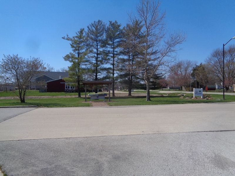
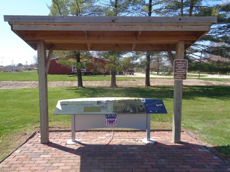
Location. 39° 3.422′ N, 88° 44.467′ W. Marker is in Altamont, Illinois, in Effingham County. Marker is at the intersection of East Cumberland Road (U.S. 40) and South Ewing Street, on the left when traveling west on East Cumberland Road. Marker is at the entrance of Gilbert Park. Touch for map. Marker is at or near this postal address: 508 E Cumberland Rd, Altamont IL 62411, United States of America. Touch for directions.
Other nearby markers. At least 8 other markers are within 12 miles of this marker, measured as the crow flies. Dr. Charles M. Wright House (approx. 0.7 miles away); Veterans Memorial (approx. one mile away); National Road (approx. 3.9 miles away); St. Elmo (approx. 6.3 miles away); St. Elmo Area Veterans Memorial (approx. 6.3 miles away); Roswell B. Mason (approx. 9˝ miles away); Welcome to the Cross at the Crossroads! (approx. 9.8 miles away); a different marker also named Veterans Memorial (approx. 11.6 miles away). Touch for a list and map of all markers in Altamont.
Also see . . .
Altamont (video). From the Illinois National Road's YouTube channel, this is a short video that talks about the city of Altamont. Includes history and notable places to visit. (Submitted on April 2, 2021, by Jason Voigt of Glen Carbon, Illinois.)
Credits. This page was last revised on April 2, 2021. It was originally submitted on April 2, 2021, by Jason Voigt of Glen Carbon, Illinois. This page has been viewed 238 times since then and 33 times this year. Photos: 1, 2, 3, 4. submitted on April 2, 2021, by Jason Voigt of Glen Carbon, Illinois.


