Cardinal Valley in Lexington in Fayette County, Kentucky — The American South (East South Central)
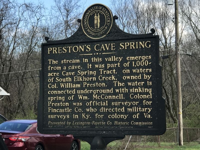
Preston's Cave Spring
Erected 1976 by Kentucky Historical Society and Kentucky Department of Transportation. (Marker Number 1557.)
Topics and series. This historical marker is listed in this topic list: Waterways & Vessels. In addition, it is included in the Kentucky Historical Society series list.
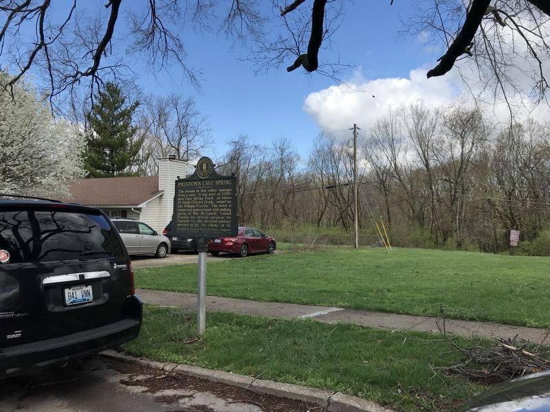
Location. 38° 3.411′ N, 84° 32.487′ W. Marker is in Lexington, Kentucky, in Fayette County. It is in Cardinal Valley. Marker is on Dunkirk Drive east of Dunkirk Court, on the right when traveling west. Touch for map. Marker is at or near this postal address: 1939 Dunkirk Drive, Lexington KY 40504, United States of America. Touch for directions.
Other nearby markers. At least 8 other markers are within walking distance of this marker. Rock Quarry (approx. 0.6 miles away); Barn Foundation (approx. 0.6 miles away); Building Foundation (approx. 0.6 miles away); Rock Fence (approx. 0.6 miles away); Lexington (approx. 0.7 miles away); Bur Oak (approx. 0.7 miles away); Lexington Named / Lexington Settled (approx. 0.7 miles away); McConnell Springs Park (approx. ¾ mile away). Touch for a list and map of all markers in Lexington.
Credits. This page was last revised on February 12, 2023. It was originally submitted on April 3, 2021, by Duane and Tracy Marsteller of Murfreesboro, Tennessee. This page has been viewed 673 times since then and 131 times this year. Photos: 1, 2. submitted on April 3, 2021, by Duane and Tracy Marsteller of Murfreesboro, Tennessee.

