Near Winchester in Clark County, Kentucky — The American South (East South Central)
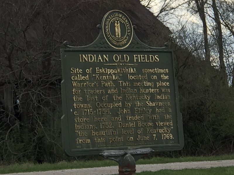
Indian Old Fields
Erected 1969 by Kentucky Historical Society and Kentucky Department of Highways. (Marker Number 1274.)
Topics and series. This historical marker is listed in these topic lists: Colonial Era • Native Americans. In addition, it is included in the Kentucky Historical Society series list. A significant historical year for this entry is 1715.
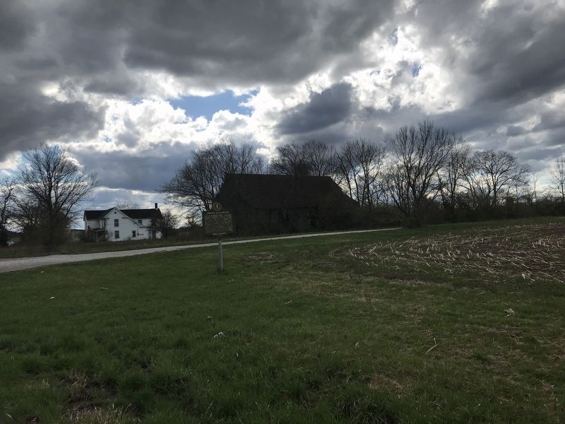
Location. 37° 56.373′ N, 83° 59.852′ W. Marker is near Winchester, Kentucky, in Clark County. Marker is at the intersection of Kiddville Road (Kentucky Route 974) and Arrowhead Lane, on the right when traveling south on Kiddville Road. Touch for map. Marker is in this post office area: Winchester KY 40391, United States of America. Touch for directions.
Other nearby markers. At least 8 other markers are within 9 miles of this marker, measured as the crow flies. Lulbegrud Creek (approx. 1.2 miles away); Pilot Knob (approx. 2.8 miles away); Daniel Boone's Settlement / Scholl's Station-Schollsville (approx. 4.1 miles away); Clay City Timber Industry / Early Iron Works (approx. 6.9 miles away); Collecting Red River's History (approx. 6.9 miles away); Rare 1860 Tombstones (approx. 7.9 miles away); Battle-June 8, 1864 (approx. 8.2 miles away); Battle-June 9, 1864 (approx. 8.2 miles away). Touch for a list and map of all markers in Winchester.
Also see . . .
1. Kentucky locals worry about paving over site of historic Indian village. By Geoff Williams in Aljazeera America. Posted August 19, 2015. (Submitted on April 4, 2021, by Duane and Tracy Marsteller of Murfreesboro, Tennessee.)
2. Eskippakithiki: The last Indian town in Kentucky. By Lucien Beckner in The Filson Club History Quarterly, 1932. (Submitted on April 4, 2021, by Duane and Tracy Marsteller of Murfreesboro, Tennessee.)
Credits. This page was last revised on April 4, 2021. It was originally submitted on April 4, 2021, by Duane and Tracy Marsteller of Murfreesboro, Tennessee. This page has been viewed 591 times since then and 101 times this year. Photos: 1, 2. submitted on April 4, 2021, by Duane and Tracy Marsteller of Murfreesboro, Tennessee.

