Near Earleville in Cecil County, Maryland — The American Northeast (Mid-Atlantic)
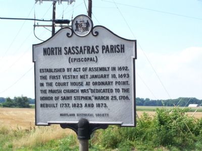
North Sassafras Parish
(Episcopal)
Erected by Maryland Historical Society.
Topics. This historical marker is listed in these topic lists: Cemeteries & Burial Sites • Churches & Religion • Colonial Era. A significant historical month for this entry is January 1825.
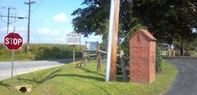
Location. 39° 25.529′ N, 75° 55.086′ W. Marker is near Earleville, Maryland, in Cecil County. Marker is on Glebe Road near Old Crystal Beach Road, on the right. Touch for map. Marker is in this post office area: Earleville MD 21919, United States of America. Touch for directions.
Other nearby markers. At least 8 other markers are within 3 miles of this marker, measured as the crow flies. St. Peters Episcopal Church Bell (a few steps from this marker); Original Vestry House Memorial (within shouting distance of this marker); Mount Pleasant (approx. 1.1 miles away); Woodlawn (approx. 1˝ miles away); Essex Lodge (approx. 1.6 miles away); Mount Harmon Plantation (approx. 1.7 miles away); Cherry Grove (approx. 2˝ miles away); Rose Hill (approx. 2.7 miles away). Touch for a list and map of all markers in Earleville.
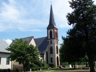
Additional keywords. Saint Stephen's Episcopal Church
Credits. This page was last revised on June 16, 2016. It was originally submitted on July 15, 2007, by Bill Pfingsten of Bel Air, Maryland. This page has been viewed 2,678 times since then and 53 times this year. Photos: 1. submitted on July 15, 2007, by Bill Pfingsten of Bel Air, Maryland. 2. submitted on August 23, 2013, by Keith S Smith of West Chester, Pennsylvania. 3. submitted on July 15, 2007, by Bill Pfingsten of Bel Air, Maryland. • J. J. Prats was the editor who published this page.


