Marker Logo
THE HISTORICAL
MARKER DATABASE
“Bite-Size Bits of Local, National, and Global History”
Venable in Charlottesville, Virginia — The American South (Mid-Atlantic)
 

Changes in Holt's Neighborhood
 
 
Changes in Holt's Neighborhood Marker image. Click for full size.
Photographed by Devry Becker Jones (CC0), April 3, 2021
1. Changes in Holt's Neighborhood Marker
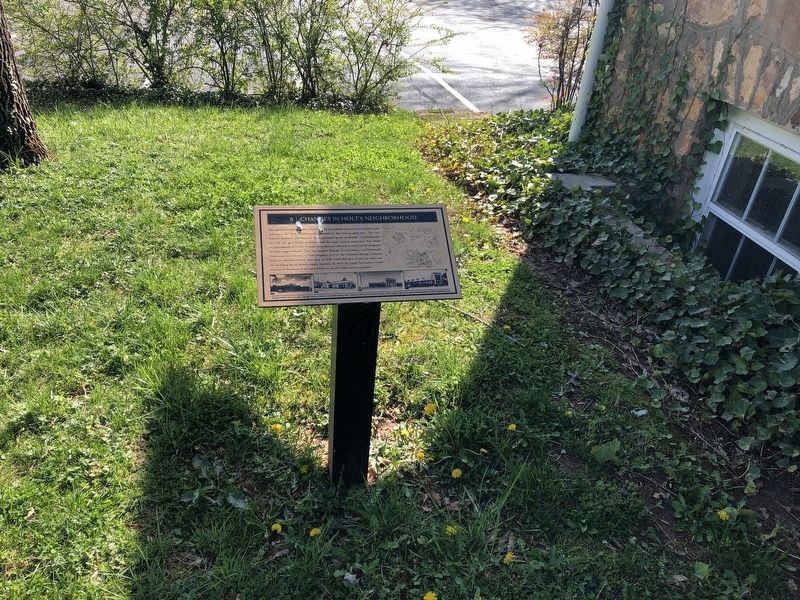
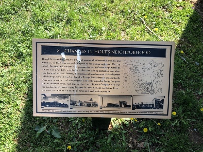
Inscription. Though he owned his home, Holt still had to contend with society's prejudice and unfairness. In 1929 Charlottesville adopted its first zoning ordinance. The city forbade business and industry from encroaching on residential neighborhoods, but did not give Holt's neighborhood the same zoning protection that white neighborhoods received. Instead, the ordinance allowed commercial development in Holt's neighborhood. The City Laundry, Triangle Service Station, and Monticello Dairy soon moved next to Holt's property. In 1941 the Columbia Baking Company built an industrial bakery next door to Holt. Later, Bruton & Company took over the building for its beauty supply business. In 2003, the Legal Aid Justice Center renovated the structure as a new home for its civil legal services program.
 
Erected by Legal Aid Justice Center. (Marker Number 8.)
 
Topics. This historical marker is listed in these topic lists: African AmericansCivil RightsIndustry & CommerceSettlements & Settlers. A significant historical year for this entry is 1929.
 
Location. 38° 2.364′ N, 78° 29.504′ W. Marker is in Charlottesville, Virginia.
Paid Advertisement
Click or scan to see
this page online
It is in Venable. It is on Preston Avenue just south of Rosser Avenue, on the right when traveling south. Touch for map. Marker is at or near this postal address: 1010 Preston Ave, Charlottesville VA 22903, United States of America. Touch for directions.

Regionally, this marker is in Central Virginia. It is also in the American South and specifically in the Upper South. Globally, it is in the North Atlantic Region, North America, the Western Hemisphere, the Western World, and the Anglosphere. Historically, it finds itself in what was once the territory of the Mississippian Culture, one of the original Thirteen Colonies, one of the Confederate States of America, and the Antebellum South.

Other nearby markers. At least 8 other markers are within walking distance of this marker: C.B. Holt Rock House (here, next to this marker); Asalie Minor Preston: Teacher & Philanthropist (a few steps from this marker); Holt's Architecture (a few steps from this marker); Legal Aid Justice Center and the Holt House (a few steps from this marker); Charles B. Holt: Born Into Freedom (within shouting distance of this marker); An American Dream: Home Ownership
Changes in Holt's Neighborhood Marker image. Click for full size.
Photographed by Devry Becker Jones (CC0), April 3, 2021
2. Changes in Holt's Neighborhood Marker
(within shouting distance of this marker); Washington Park: Separate and Unequal (within shouting distance of this marker); Holt In Charlottesville: Work and Success (within shouting distance of this marker). Touch for a list and map of all markers in Charlottesville.
 
Additional keywords. Zoning Law Inequities, segregation, Jim Crow era
 
 
Credits. This page was last revised on February 1, 2023. It was originally submitted on April 4, 2021, by Devry Becker Jones of Washington, District of Columbia. This page has been viewed 263 times since then and 12 times this year. Photos:   1, 2. submitted on April 4, 2021, by Devry Becker Jones of Washington, District of Columbia.

m=170156

CeraNet Cloud Computing sponsors the Historical Marker Database.
This website earns income from purchases you make after using our links to Amazon.com. We appreciate your support.
Paid Advertisement
Jul. 6, 2026